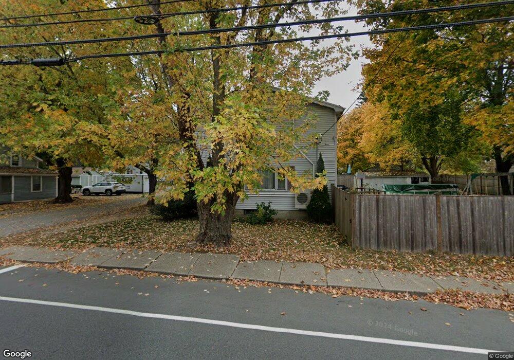
298 Main St Amesbury, MA 01913
Estimated Value: $639,669 - $747,000
3
Beds
2
Baths
1,912
Sq Ft
$360/Sq Ft
Est. Value
About This Home
This home is located at 298 Main St, Amesbury, MA 01913 and is currently estimated at $687,417, approximately $359 per square foot. 298 Main St is a home located in Essex County with nearby schools including Amesbury High School and Amesbury Seventh-Day Adventist School.
Ownership History
Date
Name
Owned For
Owner Type
Purchase Details
Closed on
Oct 27, 2010
Sold by
Burke Francis X and Burke Jean I
Bought by
Hussey Andrew T
Current Estimated Value
Home Financials for this Owner
Home Financials are based on the most recent Mortgage that was taken out on this home.
Original Mortgage
$226,943
Outstanding Balance
$150,647
Interest Rate
4.39%
Mortgage Type
Purchase Money Mortgage
Estimated Equity
$536,770
Purchase Details
Closed on
Jul 25, 2007
Sold by
Burke Francis X and Burke Jean I
Bought by
Burke Joseph F
Purchase Details
Closed on
Jul 12, 2001
Sold by
Patterson David L and Patterson Tanya M
Bought by
Burke Francis X and Burke Jean I
Create a Home Valuation Report for This Property
The Home Valuation Report is an in-depth analysis detailing your home's value as well as a comparison with similar homes in the area
Home Values in the Area
Average Home Value in this Area
Purchase History
| Date | Buyer | Sale Price | Title Company |
|---|---|---|---|
| Hussey Andrew T | $230,000 | -- | |
| Burke Francis X | -- | -- | |
| Burke Joseph F | -- | -- | |
| Burke Francis X | $232,900 | -- |
Source: Public Records
Mortgage History
| Date | Status | Borrower | Loan Amount |
|---|---|---|---|
| Open | Burke Francis X | $226,943 | |
| Previous Owner | Burke Francis X | $36,000 |
Source: Public Records
Tax History Compared to Growth
Tax History
| Year | Tax Paid | Tax Assessment Tax Assessment Total Assessment is a certain percentage of the fair market value that is determined by local assessors to be the total taxable value of land and additions on the property. | Land | Improvement |
|---|---|---|---|---|
| 2025 | $7,742 | $506,000 | $204,700 | $301,300 |
| 2024 | $7,576 | $484,400 | $193,100 | $291,300 |
| 2023 | $6,894 | $421,900 | $167,900 | $254,000 |
| 2022 | $6,588 | $372,400 | $146,000 | $226,400 |
| 2021 | $6,090 | $333,700 | $112,800 | $220,900 |
| 2020 | $5,431 | $316,100 | $108,500 | $207,600 |
| 2019 | $5,660 | $308,100 | $108,500 | $199,600 |
| 2018 | $5,441 | $286,500 | $103,300 | $183,200 |
| 2017 | $5,584 | $279,900 | $103,300 | $176,600 |
| 2016 | $5,573 | $274,800 | $103,300 | $171,500 |
| 2015 | $5,468 | $266,200 | $103,300 | $162,900 |
| 2014 | $5,333 | $254,300 | $103,300 | $151,000 |
Source: Public Records
Map
Nearby Homes
- 356 Main St
- 3 Pinecrest Ave
- 45 Macy St Unit 302C
- 35 Merrimac St
- 47 Macy St
- 394 Main St
- 6 Wells Ave Unit C
- 4 Greenwood St
- 60 Merrimac St Unit 907
- 60 Merrimac St Unit 604
- 60 Merrimac St Unit 508
- 36 Hillside Ave
- 2 Hitching Post Ln
- 435 Main St
- 434 Main St
- 11 Beacon St
- 13 Bailey Pond Ln Unit 13
- 19 Cutter Ln Unit 19
- 15 Beacon St
- 49 W Greenwood St