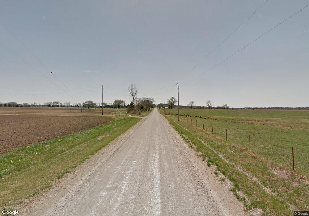
298 N 5300 St Cherryvale, KS 67335
Estimated Value: $170,000
1
Bed
2
Baths
1,520
Sq Ft
$112/Sq Ft
Est. Value
About This Home
This home is located at 298 N 5300 St, Cherryvale, KS 67335 and is currently estimated at $170,000, approximately $111 per square foot. 298 N 5300 St is a home located in Montgomery County.
Ownership History
Date
Name
Owned For
Owner Type
Purchase Details
Closed on
Dec 7, 2020
Bought by
Blaes Michael E & Peggy E Rev Liv Trust 1/202
Current Estimated Value
Create a Home Valuation Report for This Property
The Home Valuation Report is an in-depth analysis detailing your home's value as well as a comparison with similar homes in the area
Purchase History
| Date | Buyer | Sale Price | Title Company |
|---|---|---|---|
| Blaes Michael E & Peggy E Rev Liv Trust 1/202 | -- | -- |
Source: Public Records
Tax History
| Year | Tax Paid | Tax Assessment Tax Assessment Total Assessment is a certain percentage of the fair market value that is determined by local assessors to be the total taxable value of land and additions on the property. | Land | Improvement |
|---|---|---|---|---|
| 2025 | $713 | $4,173 | $4,173 | $0 |
| 2024 | $7 | $5,298 | $5,298 | $0 |
| 2023 | $378 | $5,646 | $5,646 | $0 |
| 2022 | $378 | $2,673 | $2,673 | $0 |
| 2021 | $0 | $2,598 | $2,598 | $0 |
| 2020 | $359 | $2,532 | $2,532 | $0 |
| 2019 | $359 | $2,382 | $2,382 | $0 |
| 2018 | $339 | $2,331 | $2,331 | $0 |
| 2017 | $301 | $2,127 | $2,127 | $0 |
| 2016 | $1,226 | $8,960 | $2,564 | $6,396 |
| 2014 | -- | $8,927 | $1,822 | $7,105 |
Source: Public Records
Map
Nearby Homes
- 5731 County Road 5000
- 729 W 3rd St
- 406 N Catherine St
- 337 W 1st St
- 329 W 1st St
- 218 E 5th St
- 300 E 3rd St
- 310 E 5th St
- 309 S Montgomery St
- 414 E 3rd St
- 425 E 5th St
- 600 E Main St
- 803 E 6th St
- 911 E Main St
- 904 E 5th St
- 5501 Cr 5200
- 4296 County Road 5100
- 6039 County Road 5375
- 6039 Cr 5375
- 406 21000 Rd
- 5017 W Main St
- 3114 W Main St
- 3526 W Main St
- 2911 W Main St
- 5331 Cr 5000 N A
- 5113 Cr 5000 N A
- 1500 W Martin St
- 1299 W Martin St
- 1822 W Independence Ave
- 1240 W Independence Ave
- 5326 Cr 5050
- 1244 W Main St
- 5332 Cr 5050
- 1216 W Martin St
- 1328 W Martin St
- 1204 W Main St
- 1099 W 1st St
- 2077 W Independence Ave
- 0000 Highway 169
- 1115 W Martin St
Your Personal Tour Guide
Ask me questions while you tour the home.
