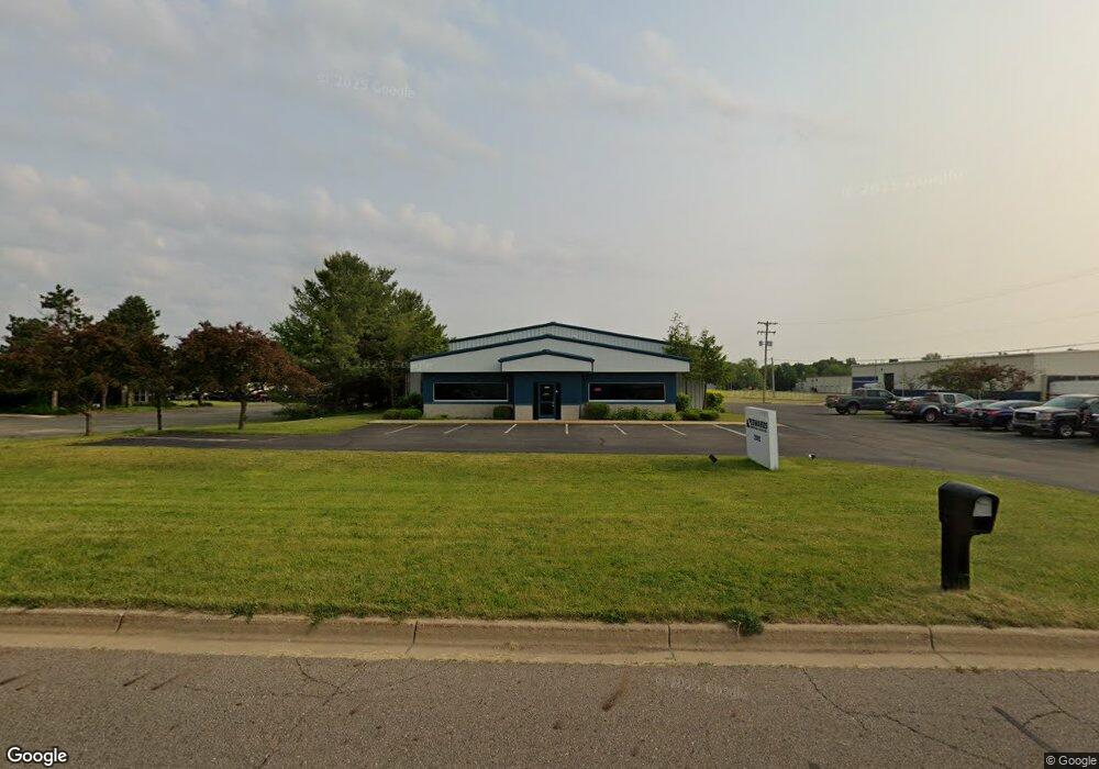
2980 6th Ave Springfield, MI 49037
Estimated Value: $462,584
Studio
--
Bath
7,175
Sq Ft
$64/Sq Ft
Est. Value
About This Home
This home is located at 2980 6th Ave, Springfield, MI 49037 and is currently estimated at $462,584, approximately $64 per square foot. 2980 6th Ave is a home located in Calhoun County with nearby schools including Valley View Elementary School, Springfield Middle School, and Battle Creek Central High School.
Ownership History
Date
Name
Owned For
Owner Type
Purchase Details
Closed on
Sep 5, 2024
Sold by
H & M Real Estate Llc
Bought by
Lampliter Land & Development Llc
Current Estimated Value
Purchase Details
Closed on
Dec 7, 2007
Sold by
J A Ratliff Llc
Bought by
Chemical Bank
Purchase Details
Closed on
Jul 15, 2003
Bought by
J.A. Ratliff, Llc
Purchase Details
Closed on
Nov 12, 1997
Sold by
Drawant Kenneth and Drawant Rosalie
Bought by
R W Leet Electric Inc
Create a Home Valuation Report for This Property
The Home Valuation Report is an in-depth analysis detailing your home's value as well as a comparison with similar homes in the area
Home Values in the Area
Average Home Value in this Area
Purchase History
| Date | Buyer | Sale Price | Title Company |
|---|---|---|---|
| Lampliter Land & Development Llc | -- | None Listed On Document | |
| Lampliter Land & Development Llc | -- | None Listed On Document | |
| Chemical Bank | $455,917 | None Available | |
| J.A. Ratliff, Llc | $275,000 | -- | |
| R W Leet Electric Inc | $35,000 | -- |
Source: Public Records
Tax History
| Year | Tax Paid | Tax Assessment Tax Assessment Total Assessment is a certain percentage of the fair market value that is determined by local assessors to be the total taxable value of land and additions on the property. | Land | Improvement |
|---|---|---|---|---|
| 2025 | $10,665 | $151,901 | $0 | $0 |
| 2024 | $9,764 | $158,316 | $0 | $0 |
| 2023 | $9,161 | $155,173 | $0 | $0 |
| 2022 | $6,487 | $140,562 | $0 | $0 |
| 2021 | $8,667 | $148,256 | $0 | $0 |
| 2020 | $8,547 | $133,948 | $0 | $0 |
| 2019 | $12,294 | $134,979 | $0 | $0 |
| 2016 | $0 | $131,429 | $0 | $0 |
Source: Public Records
Map
Nearby Homes
- 113 31st St N
- 185 Kirkwood Ave
- 172 25th St N
- 1332 W Highland Blvd
- 248 23rd St N
- 153 23rd St N
- 50 Wellworth Ave
- 745 Upton Ave
- 294 20th St N
- 121 21st St N
- 690 Upton Ave
- 396 & 398 N 20th St
- 446 24th St N
- 48 31st St S
- 1243 Territorial Rd W
- 754 Andrus St
- 1225 Territorial Rd W
- 430 21st St N
- 27 20th St N
- 17 20th St N
Your Personal Tour Guide
Ask me questions while you tour the home.