2980 Upper Bellbrook Rd Bellbrook, OH 45305
Estimated Value: $1,012,000 - $1,797,113
6
Beds
8
Baths
6,168
Sq Ft
$247/Sq Ft
Est. Value
About This Home
This home is located at 2980 Upper Bellbrook Rd, Bellbrook, OH 45305 and is currently estimated at $1,525,038, approximately $247 per square foot. 2980 Upper Bellbrook Rd is a home located in Greene County with nearby schools including Bell Creek Intermediate School, Stephen Bell Elementary School, and Bellbrook Middle School.
Ownership History
Date
Name
Owned For
Owner Type
Purchase Details
Closed on
Aug 31, 2009
Sold by
Dicicco Joseph D and Dicicco Julia A
Bought by
Dicicco Julia A
Current Estimated Value
Purchase Details
Closed on
Jan 15, 2004
Sold by
Oelman Family Lp
Bought by
Dicicco Joseph D and Dicicco Julia A
Purchase Details
Closed on
May 15, 1998
Sold by
Robert S Oelman Bradford C
Bought by
Oelman Family Ltd Partnership
Create a Home Valuation Report for This Property
The Home Valuation Report is an in-depth analysis detailing your home's value as well as a comparison with similar homes in the area
Home Values in the Area
Average Home Value in this Area
Purchase History
| Date | Buyer | Sale Price | Title Company |
|---|---|---|---|
| Dicicco Julia A | -- | Attorney | |
| Dicicco Joseph D | $240,000 | -- | |
| Oelman Family Lp | -- | -- | |
| Oelman Family Ltd Partnership | -- | -- |
Source: Public Records
Tax History
| Year | Tax Paid | Tax Assessment Tax Assessment Total Assessment is a certain percentage of the fair market value that is determined by local assessors to be the total taxable value of land and additions on the property. | Land | Improvement |
|---|---|---|---|---|
| 2025 | $37,222 | $659,810 | $111,930 | $547,880 |
| 2024 | $37,222 | $659,810 | $111,930 | $547,880 |
| 2023 | $36,569 | $659,810 | $111,930 | $547,880 |
| 2022 | $34,423 | $516,300 | $101,750 | $414,550 |
| 2021 | $34,809 | $516,300 | $101,750 | $414,550 |
| 2020 | $32,528 | $516,300 | $101,750 | $414,550 |
| 2019 | $32,551 | $465,780 | $101,750 | $364,030 |
| 2018 | $32,606 | $465,780 | $101,750 | $364,030 |
| 2017 | $32,064 | $465,780 | $101,750 | $364,030 |
| 2016 | $32,065 | $443,970 | $101,750 | $342,220 |
| 2015 | $31,584 | $443,970 | $101,750 | $342,220 |
| 2014 | $29,226 | $443,970 | $101,750 | $342,220 |
Source: Public Records
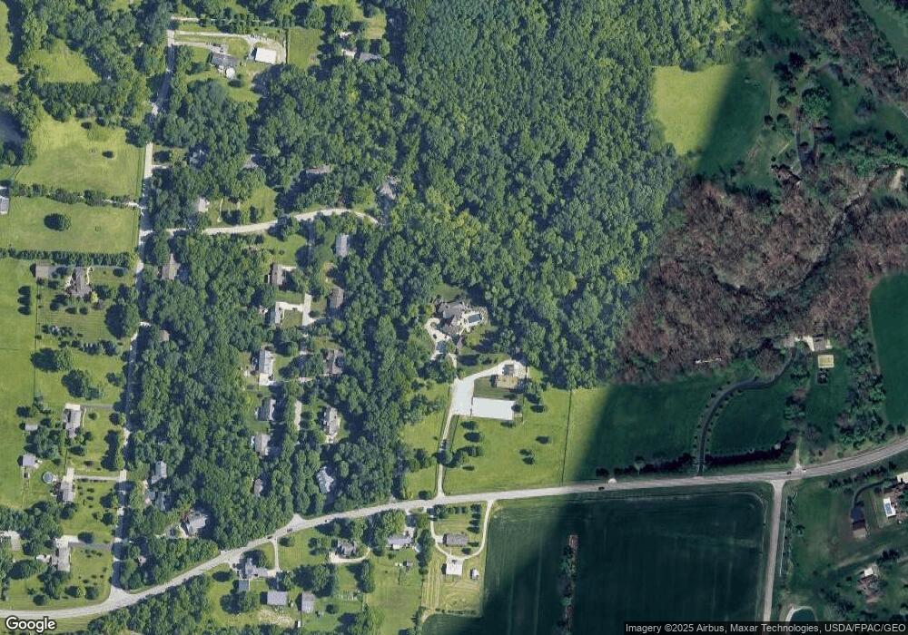
Map
Nearby Homes
- 1374 Rose Lake Dr
- 1399 Heritage Trace Ct
- 2488 Stewart Rd
- 40 Deerpath Cir
- 3608 Cypress Pointe Dr
- 3604 Cypress Pointe Dr
- 3613 Cypress Pointe Dr
- 3605 Cypress Pointe Dr
- 3656 Persimmon Ridge Place
- 208 Pinegrove Dr
- 3634 Marwood Dr
- 1478 Country Wood Dr
- 3870 Feather Heights Ct
- 252 Signature Dr S
- 45 N East St Unit 45
- 1667 Ardennes Oak Dr
- 3617 Shellbark Dr
- 3553 Shellbark Dr
- 3239 Winterset Dr
- 42 Deerpath Cir
- 1062 Berryhill Rd
- 1076 Berryhill Rd
- 1040 Berryhill Rd
- 3008 Marshfield Rd
- 1096 Berryhill Rd
- 1063 Berryhill Rd
- 1047 Berryhill Rd
- 1079 Berryhill Rd
- 1120 Berryhill Rd
- 3028 Marshfield Rd
- 1093 Berryhill Rd
- 1107 Berryhill Rd
- 3044 Marshfield Rd
- 3001 Upper Bellbrook Rd
- 3001 Upper Bellbrook Rd
- 1121 Berryhill Rd
- 2987 Upper Bellbrook Rd
- 966 Mcbee Rd
- 1078 Mcbee Rd
- 1078 Mcbee Rd
Your Personal Tour Guide
Ask me questions while you tour the home.