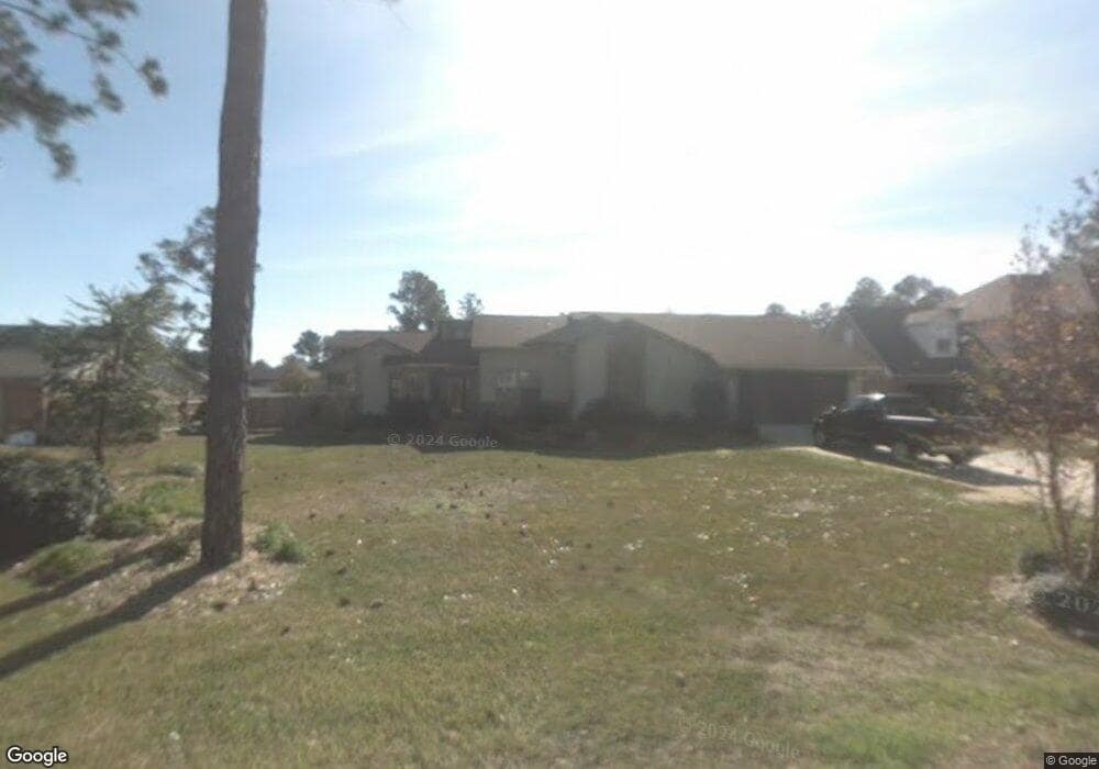
2981 Coral Strip Pkwy Gulf Breeze, FL 32563
Estimated Value: $668,000 - $841,000
4
Beds
2
Baths
2,400
Sq Ft
$322/Sq Ft
Est. Value
About This Home
This home is located at 2981 Coral Strip Pkwy, Gulf Breeze, FL 32563 and is currently estimated at $773,256, approximately $322 per square foot. 2981 Coral Strip Pkwy is a home located in Santa Rosa County with nearby schools including Gulf Breeze Elementary School, Gulf Breeze Middle School, and Gulf Breeze High School.
Ownership History
Date
Name
Owned For
Owner Type
Purchase Details
Closed on
Aug 1, 2011
Sold by
Madison Daniel E and Madison Dianne P
Bought by
Scarborough William Carroll
Current Estimated Value
Home Financials for this Owner
Home Financials are based on the most recent Mortgage that was taken out on this home.
Original Mortgage
$451,000
Outstanding Balance
$288,484
Interest Rate
3%
Mortgage Type
New Conventional
Estimated Equity
$484,772
Purchase Details
Closed on
Jun 20, 2007
Sold by
Aguado Roderick R and Aguado Carol
Bought by
Madison Daniel E and Madison Dianne P
Home Financials for this Owner
Home Financials are based on the most recent Mortgage that was taken out on this home.
Original Mortgage
$340,200
Interest Rate
6.35%
Mortgage Type
Purchase Money Mortgage
Create a Home Valuation Report for This Property
The Home Valuation Report is an in-depth analysis detailing your home's value as well as a comparison with similar homes in the area
Home Values in the Area
Average Home Value in this Area
Purchase History
| Date | Buyer | Sale Price | Title Company |
|---|---|---|---|
| Scarborough William Carroll | $410,000 | Emerald Coast Title Inc | |
| Madison Daniel E | $425,300 | Emerald Coast Title Inc |
Source: Public Records
Mortgage History
| Date | Status | Borrower | Loan Amount |
|---|---|---|---|
| Open | Scarborough William Carroll | $451,000 | |
| Previous Owner | Madison Daniel E | $340,200 |
Source: Public Records
Tax History Compared to Growth
Tax History
| Year | Tax Paid | Tax Assessment Tax Assessment Total Assessment is a certain percentage of the fair market value that is determined by local assessors to be the total taxable value of land and additions on the property. | Land | Improvement |
|---|---|---|---|---|
| 2024 | $4,106 | $339,043 | -- | -- |
| 2023 | $4,106 | $329,168 | $0 | $0 |
| 2022 | $4,006 | $319,581 | $0 | $0 |
| 2021 | $3,956 | $310,889 | $0 | $0 |
| 2020 | $4,014 | $306,597 | $0 | $0 |
| 2019 | $3,954 | $299,704 | $0 | $0 |
| 2018 | $3,931 | $294,116 | $0 | $0 |
| 2017 | $3,672 | $274,574 | $0 | $0 |
| 2016 | $3,624 | $268,927 | $0 | $0 |
| 2015 | $3,492 | $267,058 | $0 | $0 |
| 2014 | $3,946 | $263,509 | $0 | $0 |
Source: Public Records
Map
Nearby Homes
- 1639 Llani Ln
- 2969 Coral Strip Pkwy
- 2963 Coral Strip Pkwy
- 1621 Mauna Kea Ct
- 3262 Duke Dr
- 2937 Duke Dr
- 1604 Mauna Kea Ct
- 3172 Coquina Way
- 1654 Lahaina Ct
- 1484 Penn State Ct
- 3063 Auburn Pkwy
- 1467 Penn State Ct
- 00 Rutgers Rd
- 000 Rutgers Rd
- 2953 Duke Dr
- 3146 Cornell Dr
- 1604 Sumatra Ln
- 3212 Duke Dr
- 1628 Kauai Ct
- 1601 Kauai Ct
- 2975 Coral Strip Pkwy
- 2989 Coral Strip Pkwy
- 1638 Balihai Ct
- 2973 Coral Strip Pkwy
- 3001 Coral Strip Pkwy
- 1630 Balihai Ct
- 2971 Coral Strip Pkwy
- 1605 Tahiti Dr
- 1631 Balihai Ct
- 1600 Tahiti Dr
- 1635 Llani Ln
- 0 Balihai Ct
- 0 Tahiti Dr
- 3005 Coral Strip Pkwy
- 3000 Coral Strip Pkwy
- 1642 Llani Ln
- 1628 Balihai Ct
- 1631 Llani Ln
- 0 Llani Ln
- 1627 Balihai Ct