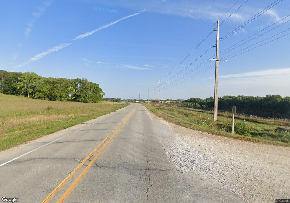
29856 Highway D55 New Providence, IA 50206
Estimated Value: $151,000 - $375,926
5
Beds
3
Baths
2,424
Sq Ft
$116/Sq Ft
Est. Value
About This Home
This home is located at 29856 Highway D55, New Providence, IA 50206 and is currently estimated at $281,642, approximately $116 per square foot. 29856 Highway D55 is a home located in Hardin County with nearby schools including South Hardin High School.
Create a Home Valuation Report for This Property
The Home Valuation Report is an in-depth analysis detailing your home's value as well as a comparison with similar homes in the area
Home Values in the Area
Average Home Value in this Area
Tax History Compared to Growth
Tax History
| Year | Tax Paid | Tax Assessment Tax Assessment Total Assessment is a certain percentage of the fair market value that is determined by local assessors to be the total taxable value of land and additions on the property. | Land | Improvement |
|---|---|---|---|---|
| 2024 | $3,840 | $292,260 | $29,800 | $262,460 |
| 2023 | $2,892 | $292,260 | $29,800 | $262,460 |
| 2022 | $2,766 | $198,660 | $29,800 | $168,860 |
| 2021 | $2,766 | $198,660 | $29,800 | $168,860 |
| 2020 | $2,548 | $175,810 | $22,990 | $152,820 |
| 2019 | $2,270 | $175,810 | $0 | $0 |
| 2018 | $2,270 | $159,830 | $0 | $0 |
| 2017 | $2,118 | $145,300 | $0 | $0 |
| 2016 | $2,212 | $145,300 | $0 | $0 |
| 2015 | $1,558 | $111,730 | $0 | $0 |
| 2014 | $1,626 | $111,730 | $0 | $0 |
Source: Public Records
Map
Nearby Homes
- 28444 County Highway S62
- 28444 County Highway S62
- 305 Apple St
- 0 County Highway S62
- 32231 300th St
- 27697 270th St
- 1002 Main St
- 0 X Avenue and 260th St Unit 68333
- 1714 12th St
- TBD 24th St
- 1813 Jenny Ln
- 1702 Washington St
- 2306 15th Ave
- 2102 15th Ave
- 1710 15th Ave
- 1110 16th Ave
- 1418 15th Ave
- 1401 14th Ave
- 1318 14th Ave
- 1409 10th St
