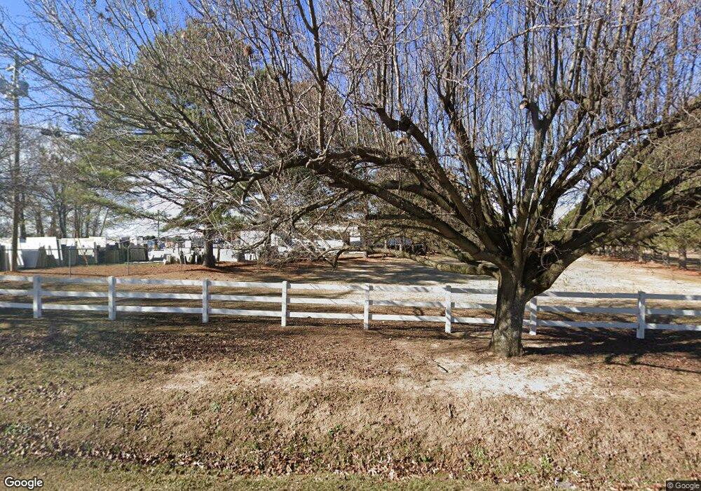
Estimated Value: $893,565
--
Bed
--
Bath
19,800
Sq Ft
$45/Sq Ft
Est. Value
About This Home
This home is located at 2987 Us Highway 301 N, Dunn, NC 28334 and is currently estimated at $893,565, approximately $45 per square foot. 2987 Us Highway 301 N is a home located in Harnett County with nearby schools including Dunn Elementary School, Wayne Avenue Elementary School, and Dunn Middle School.
Ownership History
Date
Name
Owned For
Owner Type
Purchase Details
Closed on
Sep 21, 2020
Sold by
Country Clean Inc
Bought by
Qmi Holdings Llc
Current Estimated Value
Home Financials for this Owner
Home Financials are based on the most recent Mortgage that was taken out on this home.
Original Mortgage
$791,000
Outstanding Balance
$701,960
Interest Rate
2.9%
Mortgage Type
Commercial
Estimated Equity
$191,605
Purchase Details
Closed on
Sep 1, 1990
Bought by
Country Clean Inc
Create a Home Valuation Report for This Property
The Home Valuation Report is an in-depth analysis detailing your home's value as well as a comparison with similar homes in the area
Home Values in the Area
Average Home Value in this Area
Purchase History
| Date | Buyer | Sale Price | Title Company |
|---|---|---|---|
| Qmi Holdings Llc | $565,000 | None Available | |
| Country Clean Inc | $86,000 | -- |
Source: Public Records
Mortgage History
| Date | Status | Borrower | Loan Amount |
|---|---|---|---|
| Open | Qmi Holdings Llc | $791,000 |
Source: Public Records
Tax History Compared to Growth
Tax History
| Year | Tax Paid | Tax Assessment Tax Assessment Total Assessment is a certain percentage of the fair market value that is determined by local assessors to be the total taxable value of land and additions on the property. | Land | Improvement |
|---|---|---|---|---|
| 2025 | $4,902 | $656,290 | $0 | $0 |
| 2024 | $4,771 | $656,290 | $0 | $0 |
| 2023 | $4,771 | $656,290 | $0 | $0 |
| 2022 | $2,811 | $656,290 | $0 | $0 |
| 2021 | $2,811 | $307,090 | $0 | $0 |
| 2020 | $2,811 | $307,090 | $0 | $0 |
| 2019 | $2,781 | $307,090 | $0 | $0 |
| 2018 | $2,781 | $307,090 | $0 | $0 |
| 2017 | $2,781 | $307,090 | $0 | $0 |
| 2016 | $3,650 | $408,170 | $0 | $0 |
| 2015 | $3,569 | $408,170 | $0 | $0 |
| 2014 | $3,569 | $408,170 | $0 | $0 |
Source: Public Records
Map
Nearby Homes
- 0 Us 301 North Hwy
- 168 Tanning Ridge Dr
- 596 Lane Rd
- 114 Neighbors Rd
- 108 Pine St
- 1500 Fairground Rd
- 1406 Fairground Rd
- 1273 Brinkley Rd
- 123 Rollingwood Dr
- 132 Rollingwood Dr
- 97 Rollingwood Dr
- 00000 Fairground Rd
- 4.47 Ac Fairground Rd
- 400 Brinkley Rd
- 350 Brinkley Rd
- Parcel #3 Bob Lee Ln
- 621 Partin Rd
- 533 Partin Rd
- 103 Crepe Myrtle Ln
- 1602 Lake Shore Dr
- 2987 U S 301
- 2970 Us Highway 301 N
- 2970 Us 301 S
- 28 John St
- 55 John St
- 2998 U S 301
- 71 John St
- 92 John St
- 110 John St
- 3192 Us 301 N
- 103 John St
- 111 John St
- 114 Troy Parker Ln
- 0 Hobson Rd Unit 10032784
- 1800 Hobson Rd
- 0 Hobson Rd Unit 2288271
- 0 Hobson Rd Unit 2112627
- 0 Hobson Rd Unit 2288268
- 0 Hobson Rd Unit 2283983
- 0 Hobson Rd Unit 2112624
