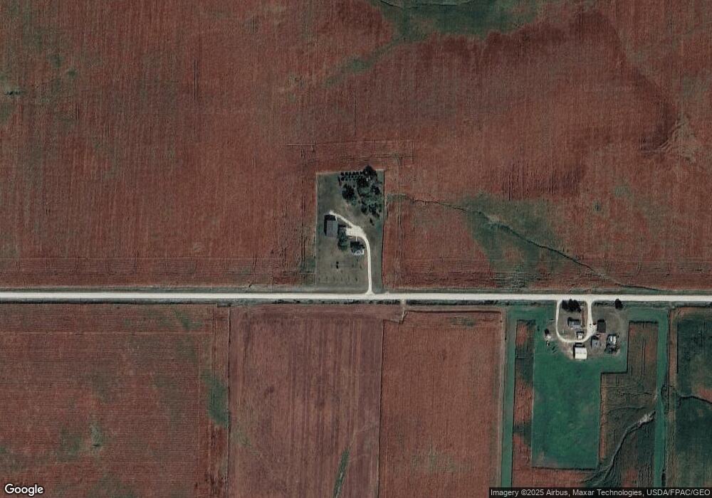
29879 260th St Shell Rock, IA 50670
Estimated Value: $224,000 - $309,598
4
Beds
1
Bath
1,832
Sq Ft
$145/Sq Ft
Est. Value
About This Home
This home is located at 29879 260th St, Shell Rock, IA 50670 and is currently estimated at $266,400, approximately $145 per square foot. 29879 260th St is a home located in Butler County with nearby schools including Waverly-Shell Rock Senior High School.
Ownership History
Date
Name
Owned For
Owner Type
Purchase Details
Closed on
Feb 3, 2023
Sold by
Miner Michael M and Miner Kara
Bought by
Degroote Farming Company Lllp
Current Estimated Value
Purchase Details
Closed on
Mar 14, 2008
Sold by
Shields Thomas B and Shields Patricia S
Bought by
Drilling Timothy and Drilling Angela M
Home Financials for this Owner
Home Financials are based on the most recent Mortgage that was taken out on this home.
Original Mortgage
$140,100
Interest Rate
5.79%
Mortgage Type
New Conventional
Create a Home Valuation Report for This Property
The Home Valuation Report is an in-depth analysis detailing your home's value as well as a comparison with similar homes in the area
Home Values in the Area
Average Home Value in this Area
Purchase History
| Date | Buyer | Sale Price | Title Company |
|---|---|---|---|
| Degroote Farming Company Lllp | $275,000 | -- | |
| Drilling Timothy | $147,500 | None Available |
Source: Public Records
Mortgage History
| Date | Status | Borrower | Loan Amount |
|---|---|---|---|
| Previous Owner | Drilling Timothy | $140,100 |
Source: Public Records
Tax History Compared to Growth
Tax History
| Year | Tax Paid | Tax Assessment Tax Assessment Total Assessment is a certain percentage of the fair market value that is determined by local assessors to be the total taxable value of land and additions on the property. | Land | Improvement |
|---|---|---|---|---|
| 2024 | $2,398 | $185,870 | $5,460 | $180,410 |
| 2023 | $2,870 | $185,870 | $5,460 | $180,410 |
| 2022 | $2,762 | $223,130 | $54,360 | $168,770 |
| 2021 | $2,654 | $223,130 | $54,360 | $168,770 |
| 2020 | $2,654 | $201,080 | $54,360 | $146,720 |
| 2019 | $2,190 | $167,920 | $0 | $0 |
| 2018 | $2,168 | $167,920 | $0 | $0 |
| 2017 | $2,168 | $140,200 | $0 | $0 |
| 2016 | $1,976 | $140,200 | $0 | $0 |
| 2015 | $1,976 | $140,200 | $0 | $0 |
| 2014 | $2,036 | $140,200 | $0 | $0 |
Source: Public Records
Map
Nearby Homes
- 21164 Woodridge Ln
- 21161 Woodridge Ln
- 21250 Woodridge Ln
- 21146 Woodridge Ln
- 218 Harvest Ln
- 1130 Lozmar Ln
- 1125 Lozmar Ln
- 220 Elliot Ave
- 214 Elliot Ave
- 29041 Alice Rd
- 506 W South St
- 29038 Alice Rd
- 29084 Alice Rd
- 29079 Alice Rd
- 29145 Alice Rd
- 327 E Mindy Dr
- 29140 Alice Rd
- 29987 Willow Ave
- 30596 Terrace Ave
- 2448 Atlas Ave