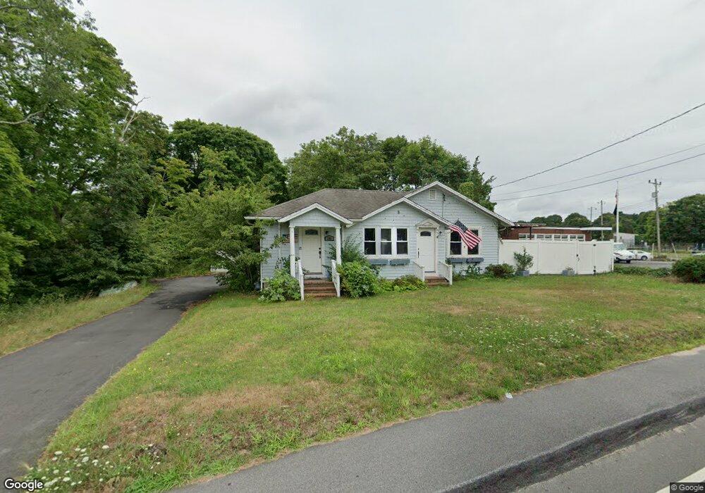
299 Barlows Landing Rd Pocasset, MA 02559
Pocasset NeighborhoodEstimated Value: $575,000 - $742,000
3
Beds
2
Baths
1,801
Sq Ft
$362/Sq Ft
Est. Value
About This Home
This home is located at 299 Barlows Landing Rd, Pocasset, MA 02559 and is currently estimated at $651,703, approximately $361 per square foot. 299 Barlows Landing Rd is a home located in Barnstable County with nearby schools including Bourne High School and Cadence Academy Preschool - Bourne.
Ownership History
Date
Name
Owned For
Owner Type
Purchase Details
Closed on
Aug 31, 1999
Sold by
Landers Doris B Est and Landers Thomas B
Bought by
Hamilton John J and Henkel Robin
Current Estimated Value
Home Financials for this Owner
Home Financials are based on the most recent Mortgage that was taken out on this home.
Original Mortgage
$130,000
Interest Rate
7.53%
Mortgage Type
Purchase Money Mortgage
Create a Home Valuation Report for This Property
The Home Valuation Report is an in-depth analysis detailing your home's value as well as a comparison with similar homes in the area
Home Values in the Area
Average Home Value in this Area
Purchase History
| Date | Buyer | Sale Price | Title Company |
|---|---|---|---|
| Hamilton John J | $150,000 | -- | |
| Hamilton John J | $150,000 | -- |
Source: Public Records
Mortgage History
| Date | Status | Borrower | Loan Amount |
|---|---|---|---|
| Open | Hamilton John J | $47,451 | |
| Open | Hamilton John J | $141,100 | |
| Closed | Hamilton John J | $130,000 |
Source: Public Records
Tax History Compared to Growth
Tax History
| Year | Tax Paid | Tax Assessment Tax Assessment Total Assessment is a certain percentage of the fair market value that is determined by local assessors to be the total taxable value of land and additions on the property. | Land | Improvement |
|---|---|---|---|---|
| 2025 | $3,977 | $509,200 | $186,400 | $322,800 |
| 2024 | $3,959 | $493,700 | $186,400 | $307,300 |
| 2023 | $3,849 | $436,900 | $165,000 | $271,900 |
| 2022 | $3,663 | $363,000 | $146,000 | $217,000 |
| 2021 | $3,567 | $331,200 | $132,900 | $198,300 |
| 2020 | $3,454 | $321,600 | $131,600 | $190,000 |
| 2019 | $3,250 | $309,200 | $131,600 | $177,600 |
| 2018 | $3,048 | $289,200 | $125,400 | $163,800 |
| 2017 | $2,969 | $288,300 | $124,200 | $164,100 |
| 2016 | $2,834 | $278,900 | $118,300 | $160,600 |
| 2015 | $2,419 | $240,200 | $118,300 | $121,900 |
Source: Public Records
Map
Nearby Homes
- 298 Barlows Landing Rd
- 303 Barlows Landing Rd
- 302-C Barlows Landing Rd
- 302-B Barlows Landing Rd
- 315 Barlows Landing Rd
- 308 Barlows Landing Rd
- 300 Barlows Landing Rd
- 291 & 293 Barlows Landing Rd
- 310 Barlows Landing Rd
- 291 & 293 Barlows Landing
- 291 & 293 Barlow's Landing
- 291 Barlows Landing Rd
- 289 Barlows Landing Rd
- 286 Barlows Landing Rd
- 7 Sylvan Rd
- 7 Sylvan Rd
- 294 Barlows Landing Rd
- 314 Barlows Landing Rd
- 282 Barlows Landing Rd
- 281 Barlows Landing Rd