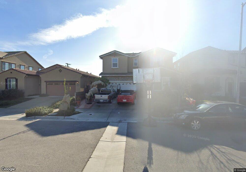
299 Cobalt Dr Hollister, CA 95023
Estimated Value: $693,000 - $817,339
--
Bed
--
Bath
--
Sq Ft
4,487
Sq Ft Lot
About This Home
This home is located at 299 Cobalt Dr, Hollister, CA 95023 and is currently estimated at $757,585. 299 Cobalt Dr is a home with nearby schools including Ladd Lane Elementary School, Rancho San Justo School, and San Benito High School.
Ownership History
Date
Name
Owned For
Owner Type
Purchase Details
Closed on
Mar 4, 2021
Sold by
Arriaga Denise P and Jaramillo Gerardo Hurtado
Bought by
Jaramillo Gerardo Hurtado and Arriaga Denise P
Current Estimated Value
Home Financials for this Owner
Home Financials are based on the most recent Mortgage that was taken out on this home.
Original Mortgage
$536,300
Outstanding Balance
$480,755
Interest Rate
2.7%
Mortgage Type
New Conventional
Estimated Equity
$276,830
Purchase Details
Closed on
Aug 29, 2017
Sold by
K Hovnanian At Ladd Ranch Llc
Bought by
Arriaga Denise P and Hurtado Jaramillo Gerardo
Home Financials for this Owner
Home Financials are based on the most recent Mortgage that was taken out on this home.
Original Mortgage
$559,439
Interest Rate
4.4%
Mortgage Type
FHA
Create a Home Valuation Report for This Property
The Home Valuation Report is an in-depth analysis detailing your home's value as well as a comparison with similar homes in the area
Home Values in the Area
Average Home Value in this Area
Purchase History
| Date | Buyer | Sale Price | Title Company |
|---|---|---|---|
| Jaramillo Gerardo Hurtado | -- | First American Title Company | |
| Arriaga Denise P | $570,000 | None Available |
Source: Public Records
Mortgage History
| Date | Status | Borrower | Loan Amount |
|---|---|---|---|
| Open | Jaramillo Gerardo Hurtado | $536,300 | |
| Closed | Arriaga Denise P | $559,439 |
Source: Public Records
Tax History Compared to Growth
Tax History
| Year | Tax Paid | Tax Assessment Tax Assessment Total Assessment is a certain percentage of the fair market value that is determined by local assessors to be the total taxable value of land and additions on the property. | Land | Improvement |
|---|---|---|---|---|
| 2025 | $8,868 | $648,328 | $221,874 | $426,454 |
| 2023 | $8,868 | $623,155 | $213,259 | $409,896 |
| 2022 | $8,548 | $610,937 | $209,078 | $401,859 |
| 2021 | $8,406 | $598,959 | $204,979 | $393,980 |
| 2020 | $8,403 | $592,819 | $202,878 | $389,941 |
| 2019 | $8,174 | $581,196 | $198,900 | $382,296 |
| 2018 | $7,968 | $569,800 | $195,000 | $374,800 |
| 2017 | $2,650 | $125,392 | $125,392 | $0 |
Source: Public Records
Map
Nearby Homes
- 4821 Southside Rd
- 1870 Cushman St
- 425 Mary Dr
- 420 Mary Dr Unit 37
- 740 Alissa Ct
- 1565 Cushman St
- 650 Talbot Dr
- 350 Tina Dr
- 291 Slate Ave
- 118 Bundeson Cir
- 116 Bundeson Cir
- 1610 Cienega Rd
- 160 Gibson Dr Unit 20
- 688 Sacramento Way
- 2141 White Oak Dr
- 1120 Richard Rd
- 2171 White Oak Dr
- 3000 Coppa Ct
- 1218 Sally St
- 1101 Freedom Dr