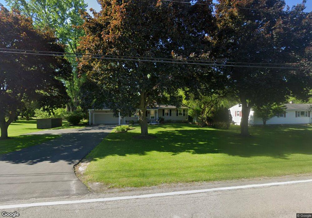
299 Furman Rd Fairport, NY 14450
Estimated Value: $410,000 - $443,000
3
Beds
2
Baths
1,936
Sq Ft
$222/Sq Ft
Est. Value
About This Home
This home is located at 299 Furman Rd, Fairport, NY 14450 and is currently estimated at $429,751, approximately $221 per square foot. 299 Furman Rd is a home located in Monroe County with nearby schools including Northside School, Dudley School, and Johanna Perrin Middle School.
Ownership History
Date
Name
Owned For
Owner Type
Purchase Details
Closed on
Sep 19, 2005
Sold by
Hatlestad Charles
Bought by
Liebenow Margaret
Current Estimated Value
Home Financials for this Owner
Home Financials are based on the most recent Mortgage that was taken out on this home.
Original Mortgage
$118,000
Outstanding Balance
$62,972
Interest Rate
5.81%
Mortgage Type
New Conventional
Estimated Equity
$366,779
Purchase Details
Closed on
May 30, 1995
Sold by
Gropp Dennis M
Bought by
Mary L Hatlestad Charles P
Create a Home Valuation Report for This Property
The Home Valuation Report is an in-depth analysis detailing your home's value as well as a comparison with similar homes in the area
Home Values in the Area
Average Home Value in this Area
Purchase History
| Date | Buyer | Sale Price | Title Company |
|---|---|---|---|
| Liebenow Margaret | $187,000 | -- | |
| Mary L Hatlestad Charles P | $158,000 | -- |
Source: Public Records
Mortgage History
| Date | Status | Borrower | Loan Amount |
|---|---|---|---|
| Open | Liebenow Margaret | $118,000 |
Source: Public Records
Tax History Compared to Growth
Tax History
| Year | Tax Paid | Tax Assessment Tax Assessment Total Assessment is a certain percentage of the fair market value that is determined by local assessors to be the total taxable value of land and additions on the property. | Land | Improvement |
|---|---|---|---|---|
| 2024 | $7,291 | $215,000 | $36,600 | $178,400 |
| 2023 | $7,291 | $215,000 | $36,600 | $178,400 |
| 2022 | $7,629 | $215,000 | $36,600 | $178,400 |
| 2021 | $7,644 | $215,000 | $36,600 | $178,400 |
| 2020 | $6,808 | $215,000 | $36,600 | $178,400 |
| 2019 | $6,604 | $215,000 | $36,600 | $178,400 |
| 2018 | $6,586 | $215,000 | $36,600 | $178,400 |
| 2017 | $4,305 | $209,700 | $36,600 | $173,100 |
| 2016 | $6,604 | $209,700 | $36,600 | $173,100 |
| 2015 | -- | $209,700 | $36,600 | $173,100 |
| 2014 | -- | $209,700 | $36,600 | $173,100 |
Source: Public Records
Map
Nearby Homes
- 2 Hamilton Rd
- 2 Foxpointe Cir
- 18 Ashby Cir
- 3 Acadian Rise
- 1331 Whitney Rd E
- 15 Whitney Farms Cir
- 30 Cali Ridge
- 71 Chadwick Manor
- 603 Watson Rd
- 2745 Penfield Rd
- 255 Watson Rd
- 28 Winchester Dr
- 22 Hunters Dr N
- 4 Arbor Ct
- 43 Hollingham Rise
- 31 Belinda Crescent
- 6 Noahs Bluff
- 6 Canterbury Ct
- 8 Noahs Bluff
- 4 Noahs Bluff