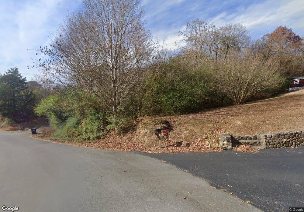
299 Lockhart Rd Dunlap, TN 37327
Estimated Value: $67,466 - $201,000
Studio
1
Bath
1,103
Sq Ft
$109/Sq Ft
Est. Value
About This Home
This home is located at 299 Lockhart Rd, Dunlap, TN 37327 and is currently estimated at $120,117, approximately $108 per square foot. 299 Lockhart Rd is a home located in Sequatchie County with nearby schools including Griffith Elementary School, Sequatchie County Middle School, and Sequatchie County High School.
Ownership History
Date
Name
Owned For
Owner Type
Purchase Details
Closed on
Apr 8, 2025
Sold by
Green Ralph Lee and Cagle Charlotte Denise
Bought by
Hurley Charles and Hurley Vivian
Current Estimated Value
Home Financials for this Owner
Home Financials are based on the most recent Mortgage that was taken out on this home.
Original Mortgage
$85,000
Outstanding Balance
$82,913
Interest Rate
5.94%
Mortgage Type
New Conventional
Estimated Equity
$37,204
Purchase Details
Closed on
Feb 9, 2001
Sold by
Green and Dessie
Bought by
Green Ralph L
Create a Home Valuation Report for This Property
The Home Valuation Report is an in-depth analysis detailing your home's value as well as a comparison with similar homes in the area
Home Values in the Area
Average Home Value in this Area
Purchase History
| Date | Buyer | Sale Price | Title Company |
|---|---|---|---|
| Hurley Charles | $45,000 | None Listed On Document | |
| Hurley Charles | $45,000 | None Listed On Document | |
| Green Ralph L | $10,844 | -- |
Source: Public Records
Mortgage History
| Date | Status | Borrower | Loan Amount |
|---|---|---|---|
| Open | Hurley Charles | $85,000 | |
| Closed | Hurley Charles | $85,000 |
Source: Public Records
Tax History
| Year | Tax Paid | Tax Assessment Tax Assessment Total Assessment is a certain percentage of the fair market value that is determined by local assessors to be the total taxable value of land and additions on the property. | Land | Improvement |
|---|---|---|---|---|
| 2025 | $352 | $14,600 | $4,525 | $10,075 |
| 2024 | $352 | $14,600 | $4,525 | $10,075 |
| 2023 | $352 | $14,600 | $4,525 | $10,075 |
| 2022 | $315 | $9,500 | $3,475 | $6,025 |
| 2021 | $310 | $9,500 | $3,475 | $6,025 |
| 2020 | $310 | $9,500 | $3,475 | $6,025 |
| 2019 | $305 | $9,325 | $3,475 | $5,850 |
| 2018 | $302 | $9,325 | $3,475 | $5,850 |
| 2017 | $298 | $9,325 | $3,475 | $5,850 |
| 2016 | $308 | $9,250 | $4,025 | $5,225 |
| 2015 | $308 | $9,250 | $4,025 | $5,225 |
| 2014 | $308 | $9,250 | $4,025 | $5,225 |
Source: Public Records
Map
Nearby Homes
- Lot 13 B Greenfields Way
- 21550 U S 127
- 21552 U S 127
- 0 SE US Hwy 127 Unit 1519993
- 0 SE US Hwy 127 Unit 1519990
- 0 SE US Hwy 127 Unit 1519988
- 0 SE US Hwy 127 Unit 1314389
- 0 SE US Hwy 127 Unit 1519979
- 0 SE US Hwy 127 Unit 1519991
- 0 SE US Hwy 127 Unit 1519984
- 0 State Rt 399 Lot 13
- 159 Poplar St
- 2 Fredonia Rd
- 134 River Ridge Dr Unit 117
- 134 River Ridge Dr
- 1 Fredonia Rd
- 3 Fredonia Rd
- 254 Cdl Trail
- 95 Blue Sky Rd Rd
- 407 Standifer Cir
- 317 Lockhart Rd
- 152 Mcdowell Rd
- 167 Lockhart Rd
- 288 Lockhart Rd
- 203 Lockhart Rd
- 194 Mcdowell Rd
- 204 Lockhart Rd
- 146 Lockhart Rd
- 220 Lockhart Rd
- 399 Lockhart Rd
- 356 Lockhart Rd
- 270 Mcdowell Rd
- 74 Lockhart Rd
- 0 Cemetery Cir Unit 1087891
- 0 Cemetery Cir
- 416 Lockhart Rd
- 416 Lockhart Rd
- 226 Lockhart Rd
- 408 Old York Hwy E
- 1482 Old York Hwy E