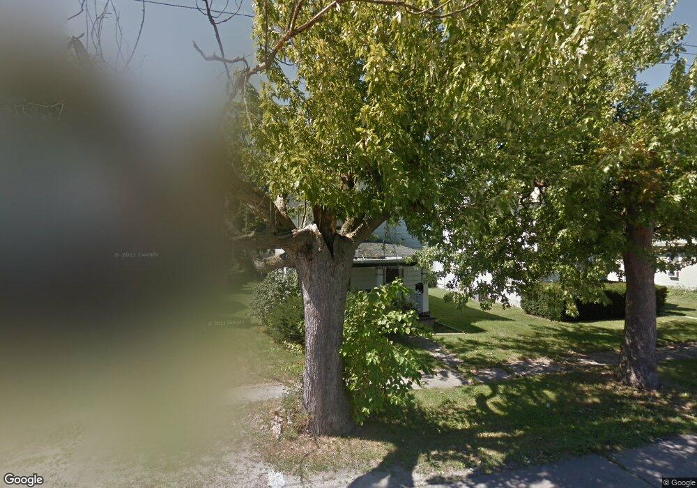
299 Nye St Marion, OH 43302
Estimated Value: $74,267 - $144,000
3
Beds
1
Bath
1,256
Sq Ft
$81/Sq Ft
Est. Value
About This Home
This home is located at 299 Nye St, Marion, OH 43302 and is currently estimated at $102,067, approximately $81 per square foot. 299 Nye St is a home located in Marion County with nearby schools including James A. Garfield Elementary School, Ulysses S. Grant Middle School, and Harding High School.
Ownership History
Date
Name
Owned For
Owner Type
Purchase Details
Closed on
May 30, 2014
Sold by
Pennington Dave and Pennington Carol
Bought by
Pennington Sharp Lisa
Current Estimated Value
Purchase Details
Closed on
Jun 29, 2006
Sold by
Pennington Jeffrey
Bought by
Pennington Dave and Pennington Carol
Purchase Details
Closed on
Dec 17, 2003
Bought by
Pennington-Sharp Lisa
Purchase Details
Closed on
Aug 20, 2001
Bought by
Pennington-Sharp Lisa
Purchase Details
Closed on
Nov 24, 1998
Bought by
Pennington-Sharp Lisa
Create a Home Valuation Report for This Property
The Home Valuation Report is an in-depth analysis detailing your home's value as well as a comparison with similar homes in the area
Home Values in the Area
Average Home Value in this Area
Purchase History
| Date | Buyer | Sale Price | Title Company |
|---|---|---|---|
| Pennington Sharp Lisa | -- | None Available | |
| Pennington Dave | $45,800 | None Available | |
| Pennington-Sharp Lisa | -- | -- | |
| Pennington-Sharp Lisa | -- | -- | |
| Pennington-Sharp Lisa | -- | -- |
Source: Public Records
Tax History Compared to Growth
Tax History
| Year | Tax Paid | Tax Assessment Tax Assessment Total Assessment is a certain percentage of the fair market value that is determined by local assessors to be the total taxable value of land and additions on the property. | Land | Improvement |
|---|---|---|---|---|
| 2024 | $759 | $14,100 | $1,670 | $12,430 |
| 2023 | $759 | $14,100 | $1,670 | $12,430 |
| 2022 | $717 | $14,100 | $1,670 | $12,430 |
| 2021 | $687 | $12,650 | $1,450 | $11,200 |
| 2020 | $489 | $12,650 | $1,450 | $11,200 |
| 2019 | $719 | $12,650 | $1,450 | $11,200 |
| 2018 | $861 | $13,550 | $1,440 | $12,110 |
| 2017 | $799 | $13,550 | $1,440 | $12,110 |
| 2016 | $526 | $13,550 | $1,440 | $12,110 |
| 2015 | $526 | $13,250 | $1,370 | $11,880 |
| 2014 | $909 | $13,250 | $1,370 | $11,880 |
| 2012 | $547 | $13,300 | $1,550 | $11,750 |
Source: Public Records
Map
Nearby Homes
- 383 Brentwood Dr
- 407 Latourette St
- 472 Clinton St
- 403 Uncapher Ave
- 213 Sharp St
- 625 Rochelle Dr
- 512 Henry St
- 579 Henry St
- 889 Oak Grove Ave
- 824 Oak Grove Ave
- 355 Lee St
- 645 Henry St
- 668 Uncapher Ave
- 1117 Woodrow Ave
- 716 Uncapher Ave
- 681 Davids St
- 796 Woodrow Ave
- 904 Merkle Ave
- 678 Marshall St
- 720 Woodrow Ave