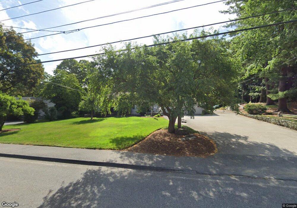
299 Pakachoag St Auburn, MA 01501
Pakachoag NeighborhoodEstimated Value: $476,000 - $570,000
3
Beds
2
Baths
1,440
Sq Ft
$365/Sq Ft
Est. Value
About This Home
This home is located at 299 Pakachoag St, Auburn, MA 01501 and is currently estimated at $525,853, approximately $365 per square foot. 299 Pakachoag St is a home located in Worcester County with nearby schools including Auburn Senior High School and Shrewsbury Montessori School - Auburn Campus.
Ownership History
Date
Name
Owned For
Owner Type
Purchase Details
Closed on
Oct 25, 2018
Sold by
Johnson Richard K and Johnson Carol A
Bought by
C & R Johnson 2018 Irt
Current Estimated Value
Purchase Details
Closed on
Jun 5, 1963
Bought by
Johnson Richard K
Create a Home Valuation Report for This Property
The Home Valuation Report is an in-depth analysis detailing your home's value as well as a comparison with similar homes in the area
Home Values in the Area
Average Home Value in this Area
Purchase History
| Date | Buyer | Sale Price | Title Company |
|---|---|---|---|
| C & R Johnson 2018 Irt | -- | -- | |
| Johnson Richard K | -- | -- |
Source: Public Records
Mortgage History
| Date | Status | Borrower | Loan Amount |
|---|---|---|---|
| Previous Owner | Johnson Richard K | $100,000 | |
| Previous Owner | Johnson Richard K | $70,000 | |
| Previous Owner | Johnson Richard K | $85,000 |
Source: Public Records
Tax History Compared to Growth
Tax History
| Year | Tax Paid | Tax Assessment Tax Assessment Total Assessment is a certain percentage of the fair market value that is determined by local assessors to be the total taxable value of land and additions on the property. | Land | Improvement |
|---|---|---|---|---|
| 2025 | $71 | $493,600 | $143,900 | $349,700 |
| 2024 | $6,402 | $428,800 | $140,000 | $288,800 |
| 2023 | $6,209 | $391,000 | $127,300 | $263,700 |
| 2022 | $5,885 | $349,900 | $127,300 | $222,600 |
| 2021 | $5,725 | $315,600 | $112,100 | $203,500 |
| 2020 | $5,674 | $315,600 | $112,100 | $203,500 |
| 2019 | $5,487 | $297,900 | $110,800 | $187,100 |
| 2018 | $5,270 | $285,800 | $103,600 | $182,200 |
| 2017 | $5,071 | $276,500 | $94,300 | $182,200 |
| 2016 | $4,826 | $266,800 | $97,000 | $169,800 |
| 2015 | $4,229 | $245,000 | $97,000 | $148,000 |
| 2014 | $4,034 | $233,300 | $92,400 | $140,900 |
Source: Public Records
Map
Nearby Homes
- 801 Forest Park Dr Unit 801
- 52 Harrison Ave
- 31 Walsh Ave
- 31-33 Walsh Ave
- 33 Walsh Ave
- 104 Elmwood St
- 34 Rockland Rd
- 216-220 Hampton St
- 204-212 Hampton St
- 6 Renaud Dr
- 1 Amesbury St
- 24 Central St
- 61 Elmwood St
- 148 Hampton St
- 25 Vinal St Unit 30
- 5 Main St
- 8 Shirley St
- 16 Homestead Ave
- 5 Commonwealth Ave
- 36 Park St
- 295 Pakachoag St
- 298 Pakachoag St
- 300 Pakachoag St
- 291 Pakachoag St
- 302 Pakachoag St
- 307 Pakachoag St
- 3 Pakachoag Crossing
- 2 Pakachoag Crossing
- 289 Pakachoag St
- 103 Forest Park Dr
- 5 Pakachoag Crossing
- 4 Pakachoag Crossing
- 285 Pakachoag St
- 301 Forest Park Dr
- 303 Forest Park Dr
- 28 Goddard Dr
- 503 Forest Park Dr
- 7 Pakachoag Crossing
- 45 Burnap St
- 30 Goddard Dr