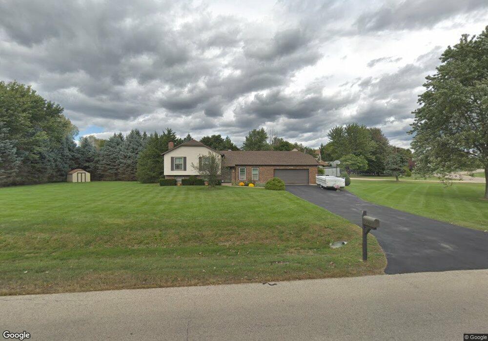
299 Pierce St Gilberts, IL 60136
Estimated Value: $380,804 - $452,000
Studio
1
Bath
2,028
Sq Ft
$204/Sq Ft
Est. Value
About This Home
This home is located at 299 Pierce St, Gilberts, IL 60136 and is currently estimated at $413,951, approximately $204 per square foot. 299 Pierce St is a home located in Kane County with nearby schools including Gilberts Elementary School, Dundee Middle School, and Hampshire High School.
Ownership History
Date
Name
Owned For
Owner Type
Purchase Details
Closed on
Jun 24, 1994
Sold by
Wika Lawrence A and Wika Gabriele J
Bought by
Zimmerman Shawn L and Zimmerman Lori A
Current Estimated Value
Home Financials for this Owner
Home Financials are based on the most recent Mortgage that was taken out on this home.
Original Mortgage
$142,650
Interest Rate
8.66%
Create a Home Valuation Report for This Property
The Home Valuation Report is an in-depth analysis detailing your home's value as well as a comparison with similar homes in the area
Home Values in the Area
Average Home Value in this Area
Purchase History
| Date | Buyer | Sale Price | Title Company |
|---|---|---|---|
| Zimmerman Shawn L | $158,500 | Advanced Title Services Inc |
Source: Public Records
Mortgage History
| Date | Status | Borrower | Loan Amount |
|---|---|---|---|
| Closed | Zimmerman Shawn L | $142,650 |
Source: Public Records
Tax History
| Year | Tax Paid | Tax Assessment Tax Assessment Total Assessment is a certain percentage of the fair market value that is determined by local assessors to be the total taxable value of land and additions on the property. | Land | Improvement |
|---|---|---|---|---|
| 2024 | $6,911 | $110,057 | $21,983 | $88,074 |
| 2023 | $6,616 | $99,527 | $19,880 | $79,647 |
| 2022 | $6,217 | $90,047 | $18,329 | $71,718 |
| 2021 | $6,026 | $84,694 | $17,239 | $67,455 |
| 2020 | $5,926 | $82,532 | $16,799 | $65,733 |
| 2019 | $5,803 | $79,213 | $16,123 | $63,090 |
| 2018 | $5,619 | $74,344 | $15,132 | $59,212 |
| 2017 | $5,479 | $70,797 | $14,410 | $56,387 |
| 2016 | $5,448 | $67,400 | $13,719 | $53,681 |
| 2015 | -- | $63,657 | $12,957 | $50,700 |
| 2014 | -- | $60,470 | $12,957 | $47,513 |
| 2013 | -- | $61,579 | $13,195 | $48,384 |
Source: Public Records
Map
Nearby Homes
- 568 Pamela St
- 0 Tyrrell Rd
- 487 Town Center Blvd
- 523 Town Center Blvd
- 340 Town Center Blvd
- 110 Easton Dr
- 198 Timber Trails Blvd Unit 6442
- 136 Durango Dr Unit 6645
- 69 Telluride Ct
- 247 Evergreen Cir Unit 6152
- 102 Town Center Blvd Unit 2541
- 151 Charleston Ln
- 313 Settlers Place
- 311 Settlers Place
- 321 Settlers Place
- 327 Settlers Place
- 319 Settlers Place
- 339 Settlers Place
- 333 Settlers Place
- 325 Settlers Place
- 464 Kathleen St
- 297 Pierce St
- 298 Pierce St
- 472 Kathleen St
- 302 Pierce St
- 295 Pierce St
- 315 Pierce St
- 312 Pierce St
- 480 Kathleen St
- 447 Running Deer Ln
- 479 Kathleen St
- 463 Running Deer Ln
- 293 Pierce St
- 296 Pierce St
- 328 Pierce St
- 492 Kathleen St
- 477 Running Deer Ln
- 499 Kathleen St
- 480 Joan Ct
- 342 Pierce St
Your Personal Tour Guide
Ask me questions while you tour the home.