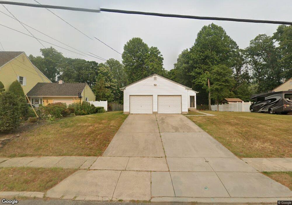
299 Whitman Dr Blackwood, NJ 08012
Washington Township NeighborhoodEstimated Value: $415,062 - $491,000
--
Bed
--
Bath
2,398
Sq Ft
$186/Sq Ft
Est. Value
About This Home
This home is located at 299 Whitman Dr, Blackwood, NJ 08012 and is currently estimated at $445,016, approximately $185 per square foot. 299 Whitman Dr is a home located in Gloucester County with nearby schools including Washington Township High School, Whitman Elementary School, and Bunker Hill Middle School.
Ownership History
Date
Name
Owned For
Owner Type
Purchase Details
Closed on
May 28, 1985
Bought by
Vandenberg Joseph A and Vandenberg Teresa
Current Estimated Value
Purchase Details
Closed on
Jan 28, 1965
Sold by
Black Joseph L and Black Violanda
Bought by
Vanderberg Joseph and Vanderberg Teresa
Home Financials for this Owner
Home Financials are based on the most recent Mortgage that was taken out on this home.
Original Mortgage
$168,000
Interest Rate
3.39%
Mortgage Type
New Conventional
Create a Home Valuation Report for This Property
The Home Valuation Report is an in-depth analysis detailing your home's value as well as a comparison with similar homes in the area
Home Values in the Area
Average Home Value in this Area
Purchase History
| Date | Buyer | Sale Price | Title Company |
|---|---|---|---|
| Vandenberg Joseph A | $94,000 | -- | |
| Vanderberg Joseph | -- | None Available |
Source: Public Records
Mortgage History
| Date | Status | Borrower | Loan Amount |
|---|---|---|---|
| Previous Owner | Vanderberg Joseph | $168,000 |
Source: Public Records
Tax History Compared to Growth
Tax History
| Year | Tax Paid | Tax Assessment Tax Assessment Total Assessment is a certain percentage of the fair market value that is determined by local assessors to be the total taxable value of land and additions on the property. | Land | Improvement |
|---|---|---|---|---|
| 2025 | $9,902 | $267,700 | $44,000 | $223,700 |
| 2024 | $9,624 | $267,700 | $44,000 | $223,700 |
| 2023 | $9,624 | $267,700 | $44,000 | $223,700 |
| 2022 | $9,308 | $267,700 | $44,000 | $223,700 |
| 2021 | $8,650 | $267,700 | $44,000 | $223,700 |
| 2020 | $9,051 | $267,700 | $44,000 | $223,700 |
| 2019 | $8,650 | $237,300 | $31,200 | $206,100 |
| 2018 | $8,552 | $237,300 | $31,200 | $206,100 |
| 2017 | $8,446 | $237,300 | $31,200 | $206,100 |
| 2016 | $8,396 | $237,300 | $31,200 | $206,100 |
| 2015 | $8,277 | $237,300 | $31,200 | $206,100 |
| 2014 | $8,016 | $237,300 | $31,200 | $206,100 |
Source: Public Records
Map
Nearby Homes
- 824 Canal St
- 825 Lexington Ave
- 1807 Waldon Ct
- 2188 Sicklerville Rd
- 1004 Berwyck Ct
- 122 Mckinley St
- 1801 Beacon Hill Dr
- 804 Saratoga Terrace
- 1505 Beacon Hill Dr
- 1002 Tanglewood Dr
- 628 Jaeger Ct
- 218 Keats Ct
- 611 Jaeger Ct
- 208 Keats Ct
- 1721 Sicklerville Rd
- 41 Noble Rd
- 111 Presidential Dr
- 29 Catawba Ave
- 9 Pine Glen Dr
- 22 Woodbrook Rd