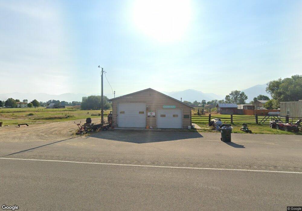
2991 Eastside Hwy Stevensville, MT 59870
Estimated Value: $183,000 - $670,476
3
Beds
2
Baths
1,869
Sq Ft
$259/Sq Ft
Est. Value
About This Home
This home is located at 2991 Eastside Hwy, Stevensville, MT 59870 and is currently estimated at $484,825, approximately $259 per square foot. 2991 Eastside Hwy is a home located in Ravalli County with nearby schools including Stevensville Elementary School, Stevensville Junior High School, and Stevensville High School.
Ownership History
Date
Name
Owned For
Owner Type
Purchase Details
Closed on
Dec 11, 2017
Sold by
Barbara Michelman
Bought by
Blocker Leslie
Current Estimated Value
Home Financials for this Owner
Home Financials are based on the most recent Mortgage that was taken out on this home.
Original Mortgage
$200,000
Outstanding Balance
$140,406
Interest Rate
3.94%
Mortgage Type
New Conventional
Estimated Equity
$344,419
Purchase Details
Closed on
Jul 27, 2007
Bought by
Michelman Barbara
Create a Home Valuation Report for This Property
The Home Valuation Report is an in-depth analysis detailing your home's value as well as a comparison with similar homes in the area
Home Values in the Area
Average Home Value in this Area
Purchase History
| Date | Buyer | Sale Price | Title Company |
|---|---|---|---|
| Blocker Leslie | $250,000 | Other | |
| Michelman Barbara | -- | -- |
Source: Public Records
Mortgage History
| Date | Status | Borrower | Loan Amount |
|---|---|---|---|
| Open | Blocker Leslie | $200,000 |
Source: Public Records
Tax History Compared to Growth
Tax History
| Year | Tax Paid | Tax Assessment Tax Assessment Total Assessment is a certain percentage of the fair market value that is determined by local assessors to be the total taxable value of land and additions on the property. | Land | Improvement |
|---|---|---|---|---|
| 2025 | $2,026 | $566,851 | $0 | $0 |
| 2024 | $2,747 | $490,959 | $0 | $0 |
| 2023 | $2,627 | $467,849 | $0 | $0 |
| 2022 | $2,343 | $336,788 | $0 | $0 |
| 2021 | $2,542 | $336,788 | $0 | $0 |
| 2020 | $2,381 | $302,224 | $0 | $0 |
| 2019 | $2,359 | $302,224 | $0 | $0 |
| 2018 | $2,128 | $251,588 | $0 | $0 |
| 2017 | $1,973 | $252,458 | $0 | $0 |
| 2016 | $1,478 | $233,171 | $0 | $0 |
| 2015 | $2,101 | $343,549 | $0 | $0 |
| 2014 | $1,667 | $162,999 | $0 | $0 |
Source: Public Records
Map
Nearby Homes
- 365 Winters Ln
- 2837 Caribou Ln
- 2813 Pine Lakes Ct
- 81 and 83 Bell Crossing W
- 605 Groff Ln
- 2792 Huggy Bear Ln
- 633 Groff Ln
- 3440 Balsam Dr
- 763 S Sunset Bench Rd
- 843 Lecoure Ln
- 1013 Majestic Pine Place
- 655 Treece Gulch Rd
- 205 Mountain View Dr
- 878 S Sunset Bench Rd
- 3542 Vista View Ct
- 240 Sunset Alley Dr
- 236 Sunset Alley Dr
- 113 E Main
- 2630 Dorothy Dr
- 305 5th Ave
- 2995 Eastside Hwy
- 2995 Eastside Hwy
- 2976 Eastside Hwy
- 251 Bell Crossing E
- 2957 Eastside Hwy
- 3017 Eastside Hwy
- 81 Bell Crossing E
- 3035 Eastside Hwy
- 227 Bell Crossing E
- 2742 Alpenglow Rd
- 2780 Alpenglow Rd
- Lot 9 Willoughby Estates
- 3033 Delaford Loop
- Lot 2 Delaford Loop
- 2772 Alpenglow Rd
- Lot 14 Delaford Loop
- Lot 3 Delaford Loop
- 369 Willoughby Ln
- 3018 Delaford Loop
- Lot 11 Willoughby Estates