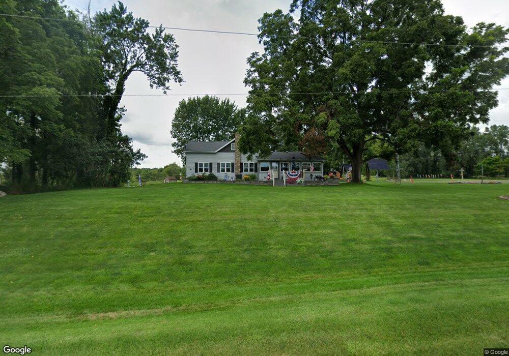
29911 R Dr N Springport, MI 49284
Estimated Value: $396,189 - $448,000
3
Beds
2
Baths
1,898
Sq Ft
$222/Sq Ft
Est. Value
About This Home
This home is located at 29911 R Dr N, Springport, MI 49284 and is currently estimated at $422,095, approximately $222 per square foot. 29911 R Dr N is a home with nearby schools including Springport Elementary School, Springport Middle School, and Springport High School.
Create a Home Valuation Report for This Property
The Home Valuation Report is an in-depth analysis detailing your home's value as well as a comparison with similar homes in the area
Home Values in the Area
Average Home Value in this Area
Tax History Compared to Growth
Tax History
| Year | Tax Paid | Tax Assessment Tax Assessment Total Assessment is a certain percentage of the fair market value that is determined by local assessors to be the total taxable value of land and additions on the property. | Land | Improvement |
|---|---|---|---|---|
| 2025 | -- | $184,100 | $0 | $0 |
| 2024 | $57 | $183,300 | $0 | $0 |
| 2023 | $57 | $157,200 | $0 | $0 |
| 2022 | $57 | $151,800 | $0 | $0 |
| 2021 | $2,520 | $148,600 | $0 | $0 |
| 2020 | $2,520 | $164,900 | $0 | $0 |
| 2019 | $0 | $149,600 | $0 | $0 |
| 2018 | $0 | $147,500 | $85,800 | $61,700 |
| 2017 | $0 | $128,500 | $0 | $0 |
| 2016 | $0 | $123,900 | $0 | $0 |
| 2015 | -- | $122,600 | $0 | $0 |
| 2014 | -- | $155,700 | $0 | $0 |
Source: Public Records
Map
Nearby Homes
- 0 R-Drive N
- 29510 S Dr N
- 261 Mechanic St
- 16594 Stark Rd
- 16711 Stark Rd
- 0 Green St
- 403 Green St
- 231 Bay Port Cir Unit 68
- 252 Bay Port Cir Unit 19
- 598 E Main St
- 19822 27 1 2 Mile Rd
- 10870 Eaton Rapids Rd
- 2321 Country Club Way
- 26838 Q-Drive N
- 7295 N Gibbs Rd
- 6600 Calhoun Rd
- 4643 Anderson Rd
- 21133 26 Mile Rd
- 21602 26 Mile Rd
- 17208 28 Mile Rd