Estimated Value: $575,495 - $717,000
4
Beds
2
Baths
1,216
Sq Ft
$536/Sq Ft
Est. Value
About This Home
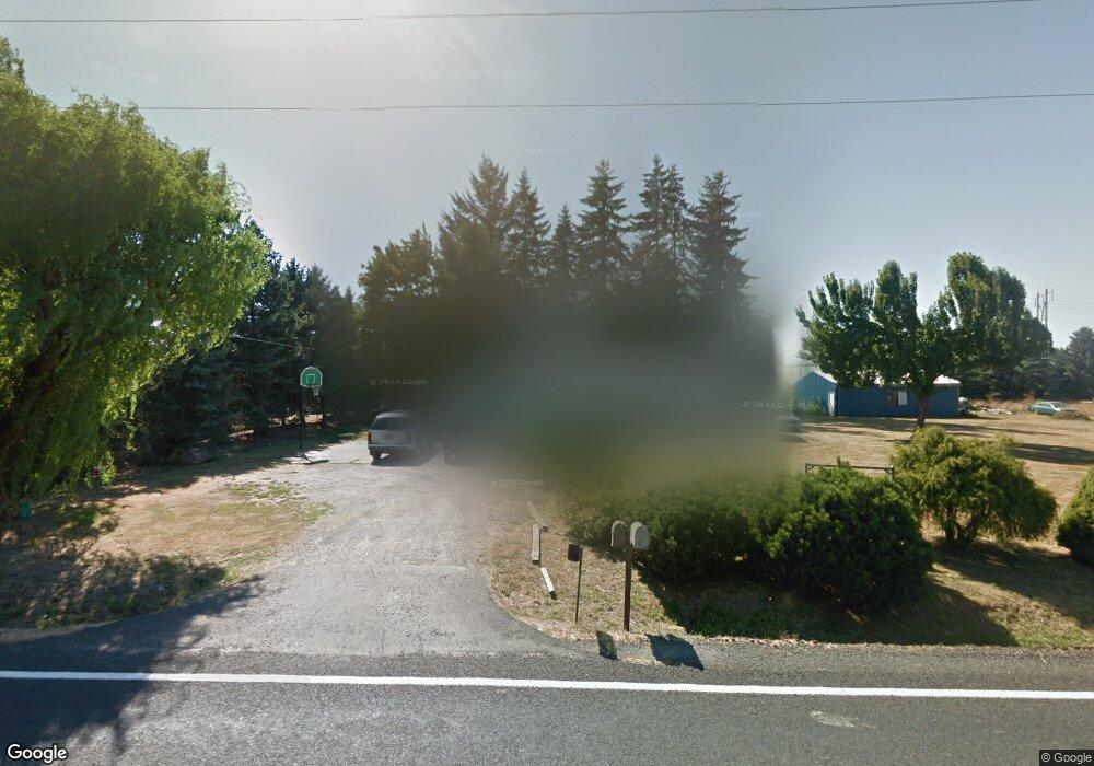
This home is located at 29913 S Barlow Rd, Canby, OR 97013 and is currently estimated at $652,124, approximately $536 per square foot. 29913 S Barlow Rd is a home located in Clackamas County with nearby schools including Philander Lee Elementary School, Baker Prairie Middle School, and Canby High School.
Ownership History
Date
Name
Owned For
Owner Type
Purchase Details
Closed on
Feb 28, 2023
Sold by
Carolyn Neuschwander Trust
Bought by
Neuschwander Raymon J
Current Estimated Value
Purchase Details
Closed on
Feb 20, 2002
Sold by
Newton Maruerite E and Johnson Maruerite E
Bought by
Loza Lynn and Loza Raul
Home Financials for this Owner
Home Financials are based on the most recent Mortgage that was taken out on this home.
Original Mortgage
$179,000
Interest Rate
4.75%
Purchase Details
Closed on
Dec 21, 1996
Sold by
Walkoski David J and Walkoski Sharon L
Bought by
Newton Earl G and Newton Marguerite E
Create a Home Valuation Report for This Property
The Home Valuation Report is an in-depth analysis detailing your home's value as well as a comparison with similar homes in the area
Home Values in the Area
Average Home Value in this Area
Purchase History
| Date | Buyer | Sale Price | Title Company |
|---|---|---|---|
| Neuschwander Raymon J | -- | -- | |
| Loza Lynn | $199,000 | -- | |
| Newton Earl G | $150,000 | Transnation Title Insurance |
Source: Public Records
Mortgage History
| Date | Status | Borrower | Loan Amount |
|---|---|---|---|
| Previous Owner | Loza Lynn | $179,000 |
Source: Public Records
Tax History Compared to Growth
Tax History
| Year | Tax Paid | Tax Assessment Tax Assessment Total Assessment is a certain percentage of the fair market value that is determined by local assessors to be the total taxable value of land and additions on the property. | Land | Improvement |
|---|---|---|---|---|
| 2024 | $3,538 | $246,869 | -- | -- |
| 2023 | $3,538 | $239,679 | $0 | $0 |
| 2022 | $3,235 | $232,699 | $0 | $0 |
| 2021 | $3,109 | $225,922 | $0 | $0 |
| 2020 | $3,062 | $219,342 | $0 | $0 |
| 2019 | $2,902 | $212,954 | $0 | $0 |
| 2018 | $2,842 | $206,751 | $0 | $0 |
| 2017 | $2,773 | $200,729 | $0 | $0 |
| 2016 | $2,677 | $194,883 | $0 | $0 |
| 2015 | $2,582 | $189,207 | $0 | $0 |
| 2014 | $2,508 | $183,696 | $0 | $0 |
Source: Public Records
Map
Nearby Homes
- 30413 S Stuwe Rd
- 6150 S Miller Rd
- 29497 S Meridian Rd
- 8487 S Sconce Rd
- 8601 S Sconce Rd
- 30700 S Highway 170
- 29474 S Highway 170
- 9060 S Highway 211
- 17765 Monnier Rd NE
- 27200 S Barlow Rd
- 8949 S Gribble Rd
- 26882 S Bolland Rd
- 9573 S Gribble Rd
- 20800 Yosemite St NE
- 9750 S Gribble Rd
- 12875 Peggys Place NE
- 14750 Orchard St NE
- 14713 Ottaway Rd NE
- 14665 Orchard Ave NE
- 18767 Highway 99e
- 29830 S Barlow Rd
- 29990 S Barlow Rd
- 29910 S Barlow Rd
- 6923 S Whiskey Hill Rd
- 29800 S Barlow Rd
- 6875 S Whiskey Hill Rd
- 7051 S Barnards Rd
- 7034 S Barnards Rd
- 6849 S Whiskey Hill Rd
- 7171 S Barnards Rd
- 29770 S Barlow Rd
- 30050 S Barlow Rd
- 7150 S Barnards Rd
- 29750 S Barlow Rd
- 29790 S Barlow Rd
- 29651 S Barlow Rd
- 7194 S Barnards Rd Unit 1
- 7194 S Barnards Rd
- 30248 S Barlow Rd
- 7236 S Barnards Rd