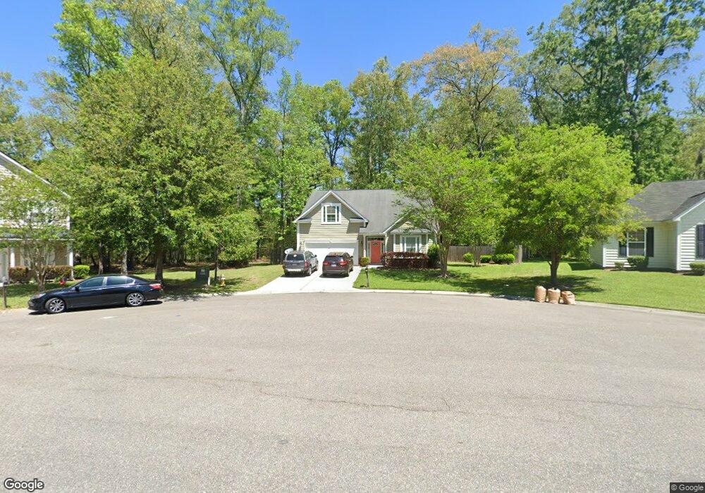
2994 Pocasset Cir North Charleston, SC 29420
Woodstock NeighborhoodEstimated Value: $357,372 - $435,000
5
Beds
2
Baths
2,234
Sq Ft
$178/Sq Ft
Est. Value
About This Home
This home is located at 2994 Pocasset Cir, North Charleston, SC 29420 and is currently estimated at $397,093, approximately $177 per square foot. 2994 Pocasset Cir is a home located in Charleston County with nearby schools including Pepperhill Elementary School, Northwoods Middle, and R.B. Stall High School.
Ownership History
Date
Name
Owned For
Owner Type
Purchase Details
Closed on
Dec 17, 2007
Sold by
Dan Ryan Builders South Carolina Llc
Bought by
Archie Sally Ann and Archie Keith Edward
Current Estimated Value
Home Financials for this Owner
Home Financials are based on the most recent Mortgage that was taken out on this home.
Original Mortgage
$209,570
Outstanding Balance
$132,099
Interest Rate
6.22%
Mortgage Type
Purchase Money Mortgage
Estimated Equity
$264,994
Create a Home Valuation Report for This Property
The Home Valuation Report is an in-depth analysis detailing your home's value as well as a comparison with similar homes in the area
Home Values in the Area
Average Home Value in this Area
Purchase History
| Date | Buyer | Sale Price | Title Company |
|---|---|---|---|
| Archie Sally Ann | $209,570 | None Available |
Source: Public Records
Mortgage History
| Date | Status | Borrower | Loan Amount |
|---|---|---|---|
| Open | Archie Sally Ann | $209,570 |
Source: Public Records
Tax History Compared to Growth
Tax History
| Year | Tax Paid | Tax Assessment Tax Assessment Total Assessment is a certain percentage of the fair market value that is determined by local assessors to be the total taxable value of land and additions on the property. | Land | Improvement |
|---|---|---|---|---|
| 2024 | $1,270 | $7,960 | $0 | $0 |
| 2023 | $1,270 | $7,960 | $0 | $0 |
| 2022 | $1,211 | $7,960 | $0 | $0 |
| 2021 | $1,258 | $7,960 | $0 | $0 |
| 2020 | $1,290 | $7,960 | $0 | $0 |
| 2019 | $1,145 | $6,920 | $0 | $0 |
| 2017 | $1,076 | $6,920 | $0 | $0 |
| 2016 | $1,040 | $6,920 | $0 | $0 |
| 2015 | $1,089 | $6,920 | $0 | $0 |
| 2014 | $1,108 | $0 | $0 | $0 |
| 2011 | -- | $0 | $0 | $0 |
Source: Public Records
Map
Nearby Homes
- 3004 Nantuckett Ave
- 8016 Hyannis Ct
- 3072 Nantuckett Ave
- 2957 Newport Place
- 2920 Newport Place
- 8038 Kittery Ave
- 8004 Malden Ave
- 2831 Chicopee Dr
- 8020 Nantuckett Ave
- 7759 Discovery Rd
- 2705 Oak Leaf Dr
- 8320 Glenford Rd
- 3037 Brigham Ct
- 8542 Bentwood Dr
- 8222 Greenridge Rd
- 7640 Hillview Ln
- 2656 Delhi Rd
- 8583 Cislo Ct
- 8074 Long Shadow Ln
- 8625 Bentwood Dr
- 2990 Pocasset Cir
- 3006 Nantuckett Ave
- 2998 Pocasset Cir
- 2995 Pocasset Cir
- 2991 Pocasset Cir
- 2999 Pocasset Cir
- 3002 Nantuckett Ave
- 3001 Nantuckett Ave
- 3003 Nantuckett Ave
- 3000 Nantuckett Ave
- 3012 Nantuckett Ave
- 2999 Nantuckett Ave
- 3014 Nantuckett Ave
- 2998 Nantuckett Ave
- 3005 Nantuckett Ave
- 8039 Hyannis Ct
- 3016 Nantuckett Ave
- 2996 Nantuckett Ave
- 8037 Hyannis Ct
- 3007 Nantuckett Ave