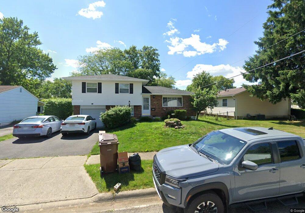
2997 Osgood Rd E Columbus, OH 43232
East Columbus-White Ash NeighborhoodEstimated Value: $211,607 - $223,000
3
Beds
2
Baths
1,354
Sq Ft
$161/Sq Ft
Est. Value
About This Home
This home is located at 2997 Osgood Rd E, Columbus, OH 43232 and is currently estimated at $218,152, approximately $161 per square foot. 2997 Osgood Rd E is a home located in Franklin County with nearby schools including Groveport Madison High School, A+ Arts Academy, and Eastland Preparatory Academy.
Ownership History
Date
Name
Owned For
Owner Type
Purchase Details
Closed on
Apr 30, 1998
Sold by
Wallace Richard E and Wallace Carla K
Bought by
May Robert T and May Shelia A
Current Estimated Value
Home Financials for this Owner
Home Financials are based on the most recent Mortgage that was taken out on this home.
Original Mortgage
$77,400
Outstanding Balance
$13,480
Interest Rate
7.18%
Mortgage Type
FHA
Estimated Equity
$204,672
Purchase Details
Closed on
Jul 6, 1990
Create a Home Valuation Report for This Property
The Home Valuation Report is an in-depth analysis detailing your home's value as well as a comparison with similar homes in the area
Home Values in the Area
Average Home Value in this Area
Purchase History
| Date | Buyer | Sale Price | Title Company |
|---|---|---|---|
| May Robert T | $79,000 | Peterson Title Agency | |
| -- | $68,000 | -- |
Source: Public Records
Mortgage History
| Date | Status | Borrower | Loan Amount |
|---|---|---|---|
| Open | May Robert T | $77,400 |
Source: Public Records
Tax History
| Year | Tax Paid | Tax Assessment Tax Assessment Total Assessment is a certain percentage of the fair market value that is determined by local assessors to be the total taxable value of land and additions on the property. | Land | Improvement |
|---|---|---|---|---|
| 2025 | $3,022 | $59,720 | $17,820 | $41,900 |
| 2024 | $3,022 | $59,720 | $17,820 | $41,900 |
| 2023 | $2,896 | $59,720 | $17,820 | $41,900 |
| 2022 | $2,052 | $33,180 | $6,300 | $26,880 |
| 2021 | $2,061 | $33,180 | $6,300 | $26,880 |
| 2020 | $2,089 | $33,180 | $6,300 | $26,880 |
| 2019 | $1,899 | $27,930 | $5,250 | $22,680 |
| 2018 | $1,838 | $27,930 | $5,250 | $22,680 |
| 2017 | $1,915 | $27,930 | $5,250 | $22,680 |
| 2016 | $1,811 | $23,940 | $4,340 | $19,600 |
| 2015 | $1,767 | $23,940 | $4,340 | $19,600 |
| 2014 | $1,784 | $23,940 | $4,340 | $19,600 |
| 2013 | $849 | $26,600 | $4,830 | $21,770 |
Source: Public Records
Map
Nearby Homes
- 2998 Osgood Rd E
- 5290 Quincy Dr
- 5361 Parkline Dr
- 5373 Spire Ln
- 2900 Gentry Ln
- 3012 Argonne Ct
- 2908 Renfro Rd
- 5143 Rutledge Dr N
- 5326 Adderley Ave
- 5185 Rutledge Dr S
- 5137 Holbrook Dr
- 5145 Rutledge Dr S
- 5422 Everson Rd N
- 4942 Talbert Dr
- 3302 Everson Rd E
- 5226 Lindora Dr
- 3246 Latonia Rd
- 2651 Brownfield Rd
- 2627 Hubbell Rd
- 2746 Noe Bixby Rd
- 3005 Osgood Rd E
- 5247 Quincy Dr
- 2988 Osgood Rd W
- 3011 Osgood Rd E
- 2994 Osgood Rd W
- 5239 Quincy Dr
- 3000 Osgood Rd W
- 5279 Quincy Dr
- 3021 Osgood Rd E
- 3006 Osgood Rd E
- 3014 Osgood Rd E
- 5256 Quincy Dr
- 3008 Osgood Rd W
- 5248 Quincy Dr
- 5264 Quincy Dr
- 5240 Quincy Dr
- 3029 Osgood Rd E
- 5272 Quincy Dr
- 3022 Osgood Rd E
- 3016 Osgood Rd W
Your Personal Tour Guide
Ask me questions while you tour the home.