29973 Highway 13 Elkader, IA 52043
Estimated Value: $181,000 - $354,454
3
Beds
2
Baths
1,500
Sq Ft
$202/Sq Ft
Est. Value
About This Home
This home is located at 29973 Highway 13, Elkader, IA 52043 and is currently estimated at $302,364, approximately $201 per square foot. 29973 Highway 13 is a home located in Clayton County with nearby schools including Central Elementary School and Central Middle School/High School.
Ownership History
Date
Name
Owned For
Owner Type
Purchase Details
Closed on
Oct 16, 2017
Sold by
Schlesselman Dawn
Bought by
Freeze Robert J and Mensen Cindy T
Current Estimated Value
Purchase Details
Closed on
Apr 7, 2017
Sold by
Schlesselman Dawn
Bought by
Freeze Robert J and Mensen Cindy T
Home Financials for this Owner
Home Financials are based on the most recent Mortgage that was taken out on this home.
Original Mortgage
$1
Interest Rate
4.21%
Mortgage Type
Purchase Money Mortgage
Create a Home Valuation Report for This Property
The Home Valuation Report is an in-depth analysis detailing your home's value as well as a comparison with similar homes in the area
Home Values in the Area
Average Home Value in this Area
Purchase History
| Date | Buyer | Sale Price | Title Company |
|---|---|---|---|
| Freeze Robert J | -- | None Available | |
| Freeze Robert J | $199,000 | None Available | |
| Freeze Robert J | -- | None Available |
Source: Public Records
Mortgage History
| Date | Status | Borrower | Loan Amount |
|---|---|---|---|
| Previous Owner | Freeze Robert J | $1 |
Source: Public Records
Tax History Compared to Growth
Tax History
| Year | Tax Paid | Tax Assessment Tax Assessment Total Assessment is a certain percentage of the fair market value that is determined by local assessors to be the total taxable value of land and additions on the property. | Land | Improvement |
|---|---|---|---|---|
| 2025 | $2,936 | $311,968 | $58,650 | $253,318 |
| 2024 | $2,914 | $262,521 | $51,000 | $211,521 |
| 2023 | $2,734 | $261,254 | $51,000 | $210,254 |
| 2022 | $2,636 | $205,450 | $43,800 | $161,650 |
| 2021 | $2,562 | $205,450 | $43,800 | $161,650 |
| 2020 | $2,562 | $193,921 | $37,700 | $156,221 |
| 2019 | $2,504 | $193,921 | $37,700 | $156,221 |
| 2018 | $2,504 | $184,566 | $37,700 | $146,866 |
| 2017 | $2,694 | $184,566 | $37,700 | $146,866 |
| 2015 | $1,902 | $147,326 | $37,040 | $110,286 |
| 2014 | $1,888 | $135,272 | $30,500 | $104,772 |
Source: Public Records
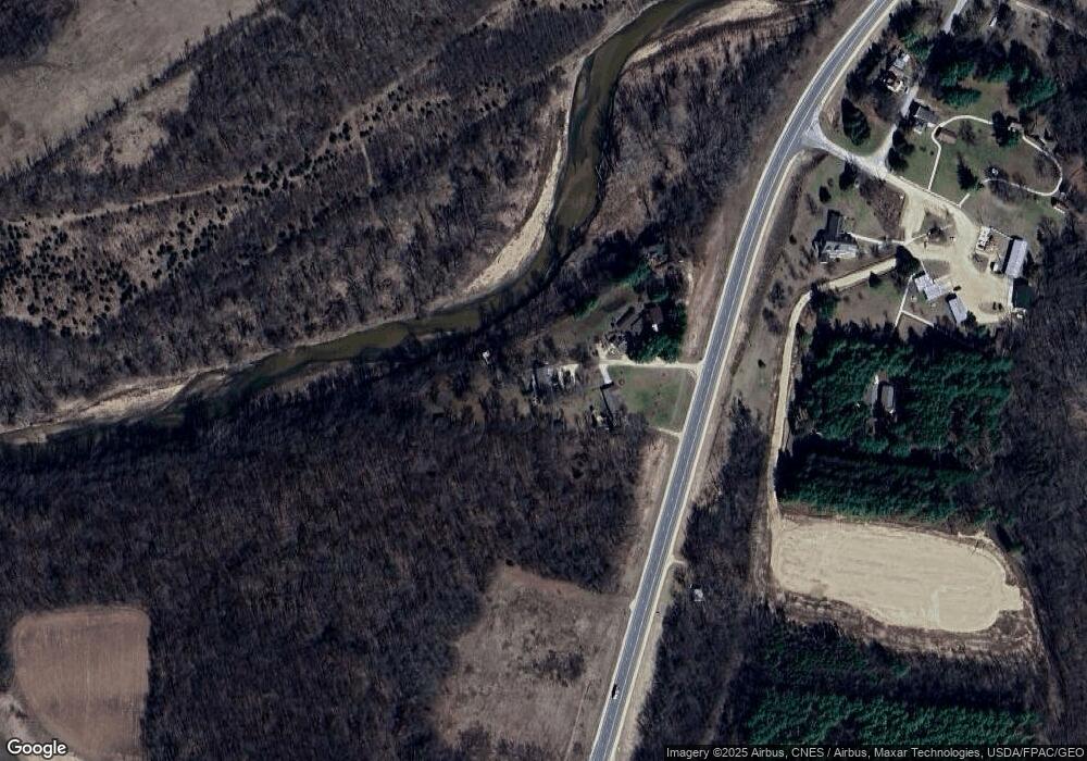
Map
Nearby Homes
- 27766 Highway 13
- 26642 Iowa 13
- TBD Birch Rd
- 209 2nd St SW
- 301 N 1st St
- 117 S Main St
- 710 Woodland Dr NW
- 707 N Main St
- 702 N Main St
- 0 Grandview Rd
- 302 N 3rd St
- 0 E Bridge St
- 247 Franzen Ridge Rd
- 249 Franzen Ridge Rd
- 14149 Iowa 56
- 10766 Bush Rd
- 27455 Harbor Rd
- 206 E Mission St
- 36654 Belgian Rd
- 208 W Spring St
- 29973 Highway 13
- 29975 Highway 13
- 29971 Highway 13
- 29969 Highway 13
- 30036 Highway 13
- 0 Osborne Rd Unit LOT 1 20200746
- 0 Osborne Rd Unit LOT 9 20200745
- 0 Osborne Rd Unit LOT 10
- 0 Osborne Rd Unit LOT 4
- 29821 Osborne Rd
- 30168 Highway 13
- 29461 Empire Rd
- 17653 305th St
- 29459 Empire Rd
- 29463 Empire Rd
- 17648 290th St
- 34399 Highway 12
- 30675 Highway 13
- 30804 Highway 13
- 17356 290th St