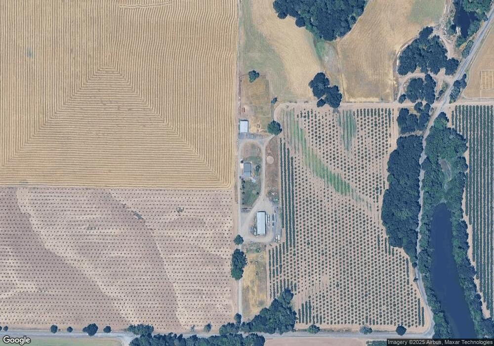
29980 Smith Loop Corvallis, OR 97333
Estimated Value: $697,000 - $1,358,821
About This Home
This home is located at 29980 Smith Loop, Corvallis, OR 97333 and is currently estimated at $1,030,940, approximately $1,101 per square foot. 29980 Smith Loop is a home located in Benton County with nearby schools including Lincoln Elementary School, Linus Pauling Middle School, and Corvallis High School.
Ownership History
We collect this data history from publicly available records. To have your information removed, we recommend requesting removal directly through your county’s website.
Purchase Details
Purchase Details
Home Financials for this Owner
Home Financials are based on the most recent Mortgage that was taken out on this home.Purchase History
We collect this data history from publicly available records. To have your information removed, we recommend requesting removal directly through your county’s website.
| Date | Buyer | Sale Price | Title Company |
|---|---|---|---|
| -- | None Available | ||
| -- | -- |
Mortgage History
We collect this data history from publicly available records. To have your information removed, we recommend requesting removal directly through your county’s website.
| Date | Status | Borrower | Loan Amount |
|---|---|---|---|
| Previous Owner | $115,000 |
Map
- 30274 Peoria Rd
- 26250 Holiday Ln
- 0 SW Herbert (13 78 Acres) Ave
- 4515 SE 3rd St
- 4475 SE 3rd St
- 0 SW Herbert (27 14 Acres) Ave
- 0 SW Herbert (13 35 Acres) Ave
- 27144 Irish Bend Loop
- 31481 Bellfountain Rd
- 7030 SW Deerhaven Dr
- 3581 SE Dockside Dr
- 3276 SE Maritime St
- 409 SE Villa Dr
- 29570 Harvest Dr SW
- 756 SE Natland Place
- 300 SE Goodnight Ave Unit 50
- 300 SE Goodnight Ave Unit 82 Av
- 300 SE Goodnight Ave Unit 83 Av
- 300 SE Goodnight Ave Unit 74 Av
- 300 SE Goodnight Ave
Ask me questions while you tour the home.