30117 Smith Loop Corvallis, OR 97333
Estimated Value: $698,000 - $1,143,939
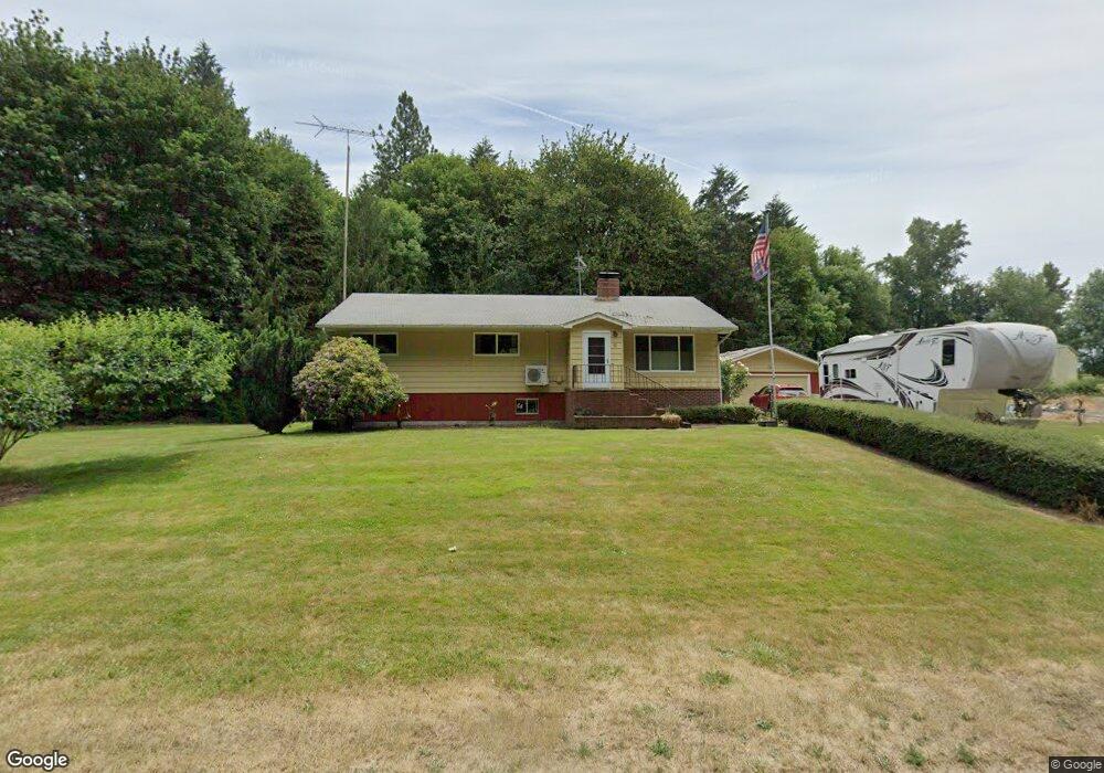
About This Home
This home is located at 30117 Smith Loop, Corvallis, OR 97333 and is currently estimated at $897,313, approximately $519 per square foot. 30117 Smith Loop is a home located in Benton County with nearby schools including Lincoln Elementary School, Linus Pauling Middle School, and Corvallis High School.
Ownership History
We collect this data history from publicly available records. To have your information removed, we recommend requesting removal directly through your county’s website.
Purchase Details
Purchase Details
Purchase Details
Purchase History
We collect this data history from publicly available records. To have your information removed, we recommend requesting removal directly through your county’s website.
| Date | Buyer | Sale Price | Title Company |
|---|---|---|---|
| -- | None Available | ||
| -- | None Available | ||
| $540,900 | First American | ||
| -- | None Available |
Tax History
We collect this data history from publicly available records. To have your information removed, we recommend requesting removal directly through your county’s website.
| Year | Tax Paid | Tax Assessment Tax Assessment Total Assessment is a certain percentage of the fair market value that is determined by local assessors to be the total taxable value of land and additions on the property. | Land | Improvement |
|---|---|---|---|---|
| 2025 | $4,769 | $365,678 | -- | -- |
| 2024 | $4,630 | $355,257 | -- | -- |
| 2023 | $4,343 | $343,601 | $0 | $0 |
| 2022 | $4,237 | $335,256 | $0 | $0 |
| 2021 | $3,977 | $325,504 | $0 | $0 |
| 2020 | $3,972 | $317,285 | $0 | $0 |
| 2019 | $3,572 | $307,567 | $0 | $0 |
| 2018 | $3,712 | $299,745 | $0 | $0 |
| 2017 | $3,321 | $291,130 | $0 | $0 |
| 2016 | $3,323 | $282,768 | $0 | $0 |
| 2015 | $3,314 | $276,652 | $0 | $0 |
| 2014 | $3,204 | $269,387 | $0 | $0 |
| 2012 | -- | $259,389 | $0 | $0 |
Map
- 30274 Peoria Rd
- 26250 Holiday Ln
- 0 SW Herbert (13 78 Acres) Ave
- 4515 SE 3rd St
- 4475 SE 3rd St
- 0 SW Herbert (27 14 Acres) Ave
- 0 SW Herbert (13 35 Acres) Ave
- 27144 Irish Bend Loop
- 3581 SE Dockside Dr
- 29570 Harvest Dr SW
- 31481 Bellfountain Rd
- 3276 SE Maritime St
- 409 SE Villa Dr
- 756 SE Natland Place
- 7030 SW Deerhaven Dr
- 32483 Oakville Rd SW Unit 25 Rd
- 300 SE Goodnight Ave Unit 50
- 300 SE Goodnight Ave Unit 82 Av
- 300 SE Goodnight Ave Unit 83 Av
- 300 SE Goodnight Ave Unit 74 Av
Ask me questions while you tour the home.