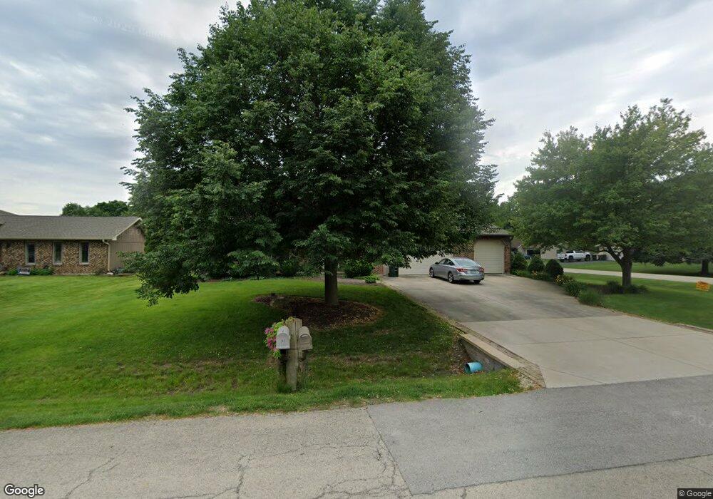
29W345 Mark Dr Naperville, IL 60564
Wheatland South NeighborhoodEstimated Value: $520,973 - $640,000
Studio
1
Bath
2,460
Sq Ft
$245/Sq Ft
Est. Value
About This Home
This home is located at 29W345 Mark Dr, Naperville, IL 60564 and is currently estimated at $601,493, approximately $244 per square foot. 29W345 Mark Dr is a home with nearby schools including Clifford Crone Middle School, Neuqua Valley High School, and Covenant Classical School.
Ownership History
Date
Name
Owned For
Owner Type
Purchase Details
Closed on
Apr 25, 2001
Sold by
Treece Michael M and Treece Frank
Bought by
Treece Frank
Current Estimated Value
Home Financials for this Owner
Home Financials are based on the most recent Mortgage that was taken out on this home.
Original Mortgage
$100,000
Interest Rate
7.02%
Create a Home Valuation Report for This Property
The Home Valuation Report is an in-depth analysis detailing your home's value as well as a comparison with similar homes in the area
Home Values in the Area
Average Home Value in this Area
Purchase History
| Date | Buyer | Sale Price | Title Company |
|---|---|---|---|
| Treece Frank | -- | -- |
Source: Public Records
Mortgage History
| Date | Status | Borrower | Loan Amount |
|---|---|---|---|
| Closed | Treece Frank | $100,000 |
Source: Public Records
Tax History
| Year | Tax Paid | Tax Assessment Tax Assessment Total Assessment is a certain percentage of the fair market value that is determined by local assessors to be the total taxable value of land and additions on the property. | Land | Improvement |
|---|---|---|---|---|
| 2024 | $8,659 | $152,833 | $25,941 | $126,892 |
| 2023 | $8,659 | $135,011 | $22,916 | $112,095 |
| 2022 | $7,853 | $124,731 | $21,679 | $103,052 |
| 2021 | $7,474 | $118,792 | $20,647 | $98,145 |
| 2020 | $7,335 | $116,910 | $20,320 | $96,590 |
| 2019 | $7,208 | $113,615 | $19,747 | $93,868 |
| 2018 | $7,677 | $118,253 | $19,312 | $98,941 |
| 2017 | $7,574 | $115,200 | $18,813 | $96,387 |
| 2016 | $7,554 | $112,720 | $18,408 | $94,312 |
| 2015 | $6,978 | $108,385 | $17,700 | $90,685 |
| 2014 | $6,978 | $97,820 | $17,700 | $80,120 |
| 2013 | $6,978 | $97,820 | $17,700 | $80,120 |
Source: Public Records
Map
Nearby Homes
- 2255 Wendt Cir
- 2344 Corn Lily Rd
- 29W376 Wagner Rd
- 3847 Gold Cup Ln
- 4507 Barr Creek Ln
- 3021 Saganashkee Ln
- 4711 Snapjack Cir
- 1364 Saxon Ln
- 2703 Wait Rd Unit 3
- 3307 Danlaur Ct Unit 6
- 1367 Saxon Ln
- 4204 Falkner Dr Unit 3
- 3281 Cool Springs Ct
- 3060 Crystal Rock Rd
- 3740 Caine Dr
- 3027 Brossman St
- 2836 Fairhauser Ct
- 3432 Redwing Dr Unit 2
- 1244 Hollingswood Ave
- 24430 Boulevard de John
- 29W331 Mark Dr
- 11S730 Mcgrath Ln
- 29W317 Mark Dr
- 29W344 Mark Dr
- 11S744 Mcgrath Ln
- 11S716 Mcgrath Ln
- 29W332 Mark Dr
- 11S758 Mcgrath Ln
- 11S771 Mcgrath Ln
- 29W316 Mark Dr
- 29W322 103rd St
- 29W303 Mark Dr
- 29W316 103rd St
- 11S772 Mcgrath Ln
- 29W304 Mark Dr
- 29W304 103rd St
- 3832 Mallard Ln
- 29W281 Mark Dr
- 11S678 Mcgrath Ln
- 3828 Mallard Ln
Your Personal Tour Guide
Ask me questions while you tour the home.