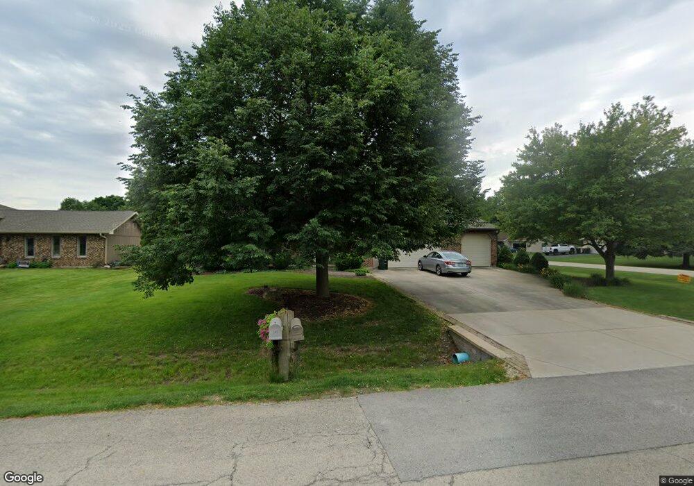
29W345 Mark Dr Naperville, IL 60564
Wheatland South NeighborhoodEstimated Value: $477,000 - $630,000
About This Home
This home is located at 29W345 Mark Dr, Naperville, IL 60564 and is currently estimated at $555,420, approximately $225 per square foot. 29W345 Mark Dr is a home with nearby schools including Oliver Julian Kendall Elementary School, Clifford Crone Middle School, and Neuqua Valley High School.
Ownership History
We collect this data history from publicly available records. To have your information removed, we recommend requesting removal directly through your county’s website.
Purchase Details
Home Financials for this Owner
Home Financials are based on the most recent Mortgage that was taken out on this home.Home Values in the Area
Average Home Value in this Area
Purchase History
We collect this data history from publicly available records. To have your information removed, we recommend requesting removal directly through your county’s website.
| Date | Buyer | Sale Price | Title Company |
|---|---|---|---|
| -- | -- |
Mortgage History
We collect this data history from publicly available records. To have your information removed, we recommend requesting removal directly through your county’s website.
| Date | Status | Borrower | Loan Amount |
|---|---|---|---|
| Closed | $100,000 |
Tax History
We collect this data history from publicly available records. To have your information removed, we recommend requesting removal directly through your county’s website.
| Year | Tax Paid | Tax Assessment Tax Assessment Total Assessment is a certain percentage of the fair market value that is determined by local assessors to be the total taxable value of land and additions on the property. | Land | Improvement |
|---|---|---|---|---|
| 2024 | $9,105 | $152,833 | $25,941 | $126,892 |
| 2023 | $8,659 | $135,011 | $22,916 | $112,095 |
| 2022 | $7,853 | $124,731 | $21,679 | $103,052 |
| 2021 | $7,474 | $118,792 | $20,647 | $98,145 |
| 2020 | $7,335 | $116,910 | $20,320 | $96,590 |
| 2019 | $7,208 | $113,615 | $19,747 | $93,868 |
| 2018 | $7,677 | $118,253 | $19,312 | $98,941 |
| 2017 | $7,574 | $115,200 | $18,813 | $96,387 |
| 2016 | $7,554 | $112,720 | $18,408 | $94,312 |
| 2015 | $6,978 | $108,385 | $17,700 | $90,685 |
| 2014 | $6,978 | $97,820 | $17,700 | $80,120 |
| 2013 | $6,978 | $97,820 | $17,700 | $80,120 |
Map
- 11S669 Schillinger Dr
- 29W303 Hartman Dr
- 3912 Mallard Ln
- 4108 Schillinger Dr
- 11S514 Webster Ln
- 11S560 Whittington Ln Unit 4
- 11S506 Whittington Ln
- 11S556 Book Rd
- 11S528 Book Rd
- 4303 Ariel Ct
- 4147 Royal Mews Cir Unit 204
- 4159 Royal Mews Cir Unit 105
- 2265 Horseshoe Cir
- 2644 Freeland Cir
- 24143 103rd St
- 1516 Grommon Rd
- 2659 Hoddam Rd
- 4807 Clearwater Ln
- 2679 Freeland Cir Unit 4
- 3848 Junebreeze Ln
- 29W331 Mark Dr
- 29W317 Mark Dr
- 29W303 Mark Dr
- 29W322 103rd St
- 29W316 103rd St
- 29W344 Mark Dr
- 11S771 Mcgrath Ln
- 29W316 Mark Dr
- 11S730 Mcgrath Ln
- 11S744 Mcgrath Ln
- 11S758 Mcgrath Ln
- 29W304 103rd St
- 29W281 Mark Dr
- 11S716 Mcgrath Ln
- 29W304 Mark Dr
- 11S772 Mcgrath Ln
- 29W280 103rd St
- 29W280 Mark Dr
- 29W267 Mark Dr
- 4012 Jersey Ct
Ask me questions while you tour the home.