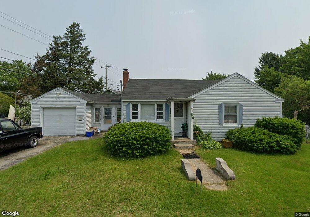
2A Edwards St Unit 286287 Nashua, NH 03060
South End Nashua NeighborhoodEstimated Value: $377,000 - $429,000
2
Beds
1
Bath
838
Sq Ft
$475/Sq Ft
Est. Value
About This Home
This home is located at 2A Edwards St Unit 286287, Nashua, NH 03060 and is currently estimated at $398,299, approximately $475 per square foot. 2A Edwards St Unit 286287 is a home located in Hillsborough County with nearby schools including Ledge Street Elementary School, Fairgrounds Middle School, and Nashua High School South.
Ownership History
Date
Name
Owned For
Owner Type
Purchase Details
Closed on
Sep 2, 2003
Sold by
Toohey Jason M and Toohey Lisa A
Bought by
Edwards Norman and Edwards Lise
Current Estimated Value
Home Financials for this Owner
Home Financials are based on the most recent Mortgage that was taken out on this home.
Original Mortgage
$38,380
Interest Rate
5.69%
Mortgage Type
Purchase Money Mortgage
Purchase Details
Closed on
Jun 23, 1999
Sold by
Fournier Clara
Bought by
Toohey Jason M
Home Financials for this Owner
Home Financials are based on the most recent Mortgage that was taken out on this home.
Original Mortgage
$90,000
Interest Rate
7.09%
Create a Home Valuation Report for This Property
The Home Valuation Report is an in-depth analysis detailing your home's value as well as a comparison with similar homes in the area
Home Values in the Area
Average Home Value in this Area
Purchase History
| Date | Buyer | Sale Price | Title Company |
|---|---|---|---|
| Edwards Norman | $191,900 | -- | |
| Toohey Jason M | $95,000 | -- |
Source: Public Records
Mortgage History
| Date | Status | Borrower | Loan Amount |
|---|---|---|---|
| Open | Toohey Jason M | $218,500 | |
| Closed | Toohey Jason M | $38,380 | |
| Previous Owner | Toohey Jason M | $90,000 |
Source: Public Records
Tax History Compared to Growth
Tax History
| Year | Tax Paid | Tax Assessment Tax Assessment Total Assessment is a certain percentage of the fair market value that is determined by local assessors to be the total taxable value of land and additions on the property. | Land | Improvement |
|---|---|---|---|---|
| 2024 | $5,525 | $347,500 | $130,300 | $217,200 |
| 2023 | $5,270 | $289,100 | $104,200 | $184,900 |
| 2022 | $5,224 | $289,100 | $104,200 | $184,900 |
| 2021 | $4,714 | $203,000 | $69,500 | $133,500 |
| 2020 | $4,590 | $203,000 | $69,500 | $133,500 |
| 2019 | $4,417 | $203,000 | $69,500 | $133,500 |
| 2018 | $4,306 | $203,000 | $69,500 | $133,500 |
| 2017 | $3,982 | $154,400 | $61,700 | $92,700 |
| 2016 | $3,871 | $154,400 | $61,700 | $92,700 |
| 2015 | $3,787 | $154,400 | $61,700 | $92,700 |
Source: Public Records
Map
Nearby Homes
- 22 New Dunstable Rd Unit 132133
- 41 New Dunstable Rd Unit 371
- 172 Ledge St
- 22 Kern Dr
- 30 Gingras Dr
- 169A W Hollis St Unit 193
- 4 Badger St
- 97 Linwood St
- 22 Wilder St
- 30 Ledge St
- 247 Main Dunstable Rd
- 63 Dexter St
- 38 Central St
- 7 Bitirnas St Unit U7
- 8 Buck St Unit 10
- 8 Althea Ln Unit U26
- 15 Lovell St Unit 3
- 15 Lovell St Unit 10
- 4 Henry David Dr Unit 203
- 30 Gendron St
- 2 Edwards St Unit 289
- 274 W Hollis St Unit 284
- 276 W Hollis St Unit 279282
- 3 Edwards St Unit 303304
- 1 Edwards St Unit 306307
- 283 W Hollis St Unit 539
- 285 W Hollis St
- 7 Edwards St Unit 301
- 292 W Hollis St Unit 309
- 275 W Hollis St
- 273 W Hollis St
- 294 W Hollis St Unit 311314
- 19 New Dunstable Rd Unit 276277
- 21 New Dunstable Rd Unit 291294
- 17 New Dunstable Rd Unit 274
- 4 Joffre St
- 6 Joffre St
- 29 New Dunstable Rd Unit 322
- 77 1/2 Joffre St Unit 328-331
- 2 Yvonne St