2N399 Francis Rd Maple Park, IL 60151
Estimated Value: $584,000 - $766,477
4
Beds
--
Bath
3,643
Sq Ft
$188/Sq Ft
Est. Value
About This Home
This home is located at 2N399 Francis Rd, Maple Park, IL 60151 and is currently estimated at $684,369, approximately $187 per square foot. 2N399 Francis Rd is a home located in Kane County with nearby schools including Kaneland John Stewart Elementary School, Harter Middle School, and Kaneland High School.
Ownership History
Date
Name
Owned For
Owner Type
Purchase Details
Closed on
Aug 3, 2020
Sold by
Merletti Irene C and Merletti James
Bought by
Merletti Irene C and Irene C Merletti Trust No 101
Current Estimated Value
Purchase Details
Closed on
Nov 3, 1995
Sold by
Merletti Irene C and Merletti James
Bought by
Merletti Irene C and Merletti James
Create a Home Valuation Report for This Property
The Home Valuation Report is an in-depth analysis detailing your home's value as well as a comparison with similar homes in the area
Home Values in the Area
Average Home Value in this Area
Purchase History
| Date | Buyer | Sale Price | Title Company |
|---|---|---|---|
| Merletti Irene C | -- | Attorney | |
| Merletti Irene C | -- | -- |
Source: Public Records
Tax History
| Year | Tax Paid | Tax Assessment Tax Assessment Total Assessment is a certain percentage of the fair market value that is determined by local assessors to be the total taxable value of land and additions on the property. | Land | Improvement |
|---|---|---|---|---|
| 2024 | $19,616 | $250,928 | $91,406 | $159,522 |
| 2023 | $20,149 | $233,010 | $84,879 | $148,131 |
| 2022 | $19,358 | $215,890 | $78,643 | $137,247 |
| 2021 | $18,604 | $204,887 | $74,635 | $130,252 |
| 2020 | $18,098 | $197,634 | $71,993 | $125,641 |
| 2019 | $17,672 | $189,686 | $69,098 | $120,588 |
| 2018 | $16,973 | $178,528 | $65,033 | $113,495 |
| 2017 | $15,822 | $164,322 | $61,294 | $103,028 |
| 2016 | $15,235 | $153,753 | $57,510 | $96,243 |
| 2015 | -- | $144,586 | $54,081 | $90,505 |
| 2014 | -- | $140,375 | $52,506 | $87,869 |
| 2013 | -- | $140,375 | $52,506 | $87,869 |
Source: Public Records
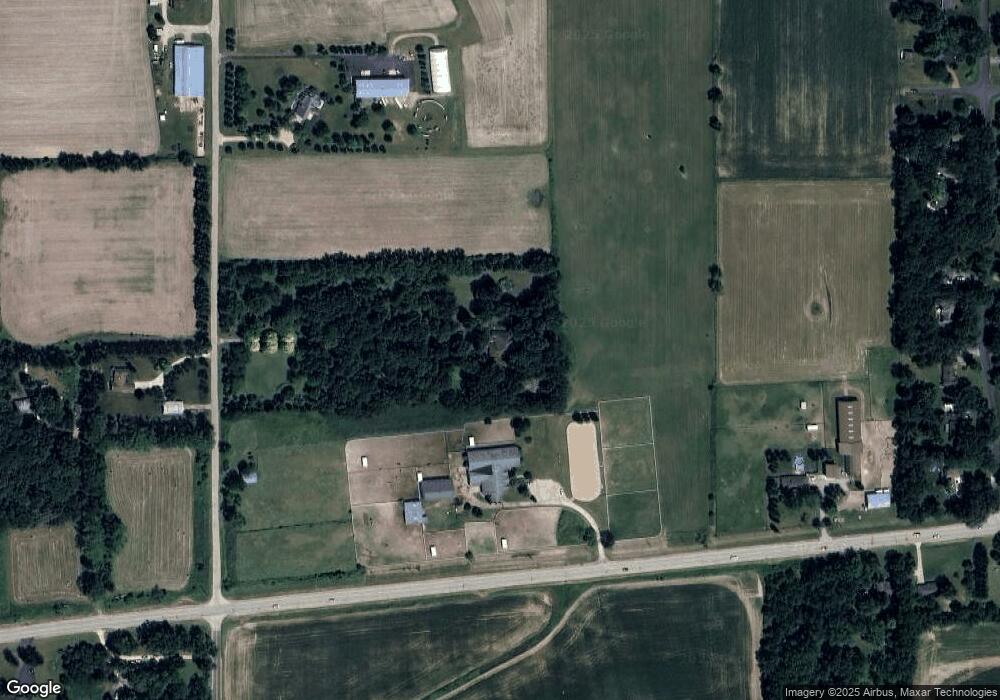
Map
Nearby Homes
- 410 W Reader St
- 425 Cambridge Ave
- 540 Parkside Dr
- 526 N Main St
- 48W201 Keslinger Rd
- 1085 Station Blvd
- 875 Station Blvd
- 411 S 1st St
- 000 Illinois 47
- 1457 Collins St
- 608 Hoyt Dr
- 620 Ridge Dr
- 00 Rt 38 Rd
- 644 Houtz Cir
- Lot 77 Houtz Cir
- 816 Simpson Ave
- 803 Station Blvd
- 607 Virginia St
- 43W880 Pathfinder Dr Unit 3
- 713 Elizabeth St
- 46W276 State Route 38
- 38 Francis Rd
- 2N400 Francis Rd
- 2N590 Francis Rd
- 2N238 Francis Rd
- 38 Francis Rd
- 0 Francis Rd Unit 10895490
- 46W571 Il Route 38
- 2N200 Francis Rd
- 46W170 Il Route 38
- 46W603 Il Route 38
- 46W159
- 2N400 Landrose Ln
- 2N374 Landrose Ln
- 46W159 Il Route 38
- 2N440 Landrose Ln
- 2N350 Landrose Ln
- 2N310 Landrose Ln
- 2N460 Landrose Ln
- 46W644 State Route 38
Your Personal Tour Guide
Ask me questions while you tour the home.