2N590 Francis Rd Maple Park, IL 60151
Estimated Value: $423,000 - $563,000
Studio
--
Bath
1,568
Sq Ft
$321/Sq Ft
Est. Value
About This Home
This home is located at 2N590 Francis Rd, Maple Park, IL 60151 and is currently estimated at $502,787, approximately $320 per square foot. 2N590 Francis Rd is a home with nearby schools including Kaneland John Stewart Elementary School, Harter Middle School, and Kaneland High School.
Ownership History
Date
Name
Owned For
Owner Type
Purchase Details
Closed on
Jun 21, 2012
Sold by
Campbell Marilyn D
Bought by
Diehl Dale E and Diehl Janice M
Current Estimated Value
Purchase Details
Closed on
May 25, 2005
Sold by
Clausen Leroy W and Clausen Cynthia O
Bought by
Amcore Investment Group Na and Trust #15491
Create a Home Valuation Report for This Property
The Home Valuation Report is an in-depth analysis detailing your home's value as well as a comparison with similar homes in the area
Home Values in the Area
Average Home Value in this Area
Purchase History
| Date | Buyer | Sale Price | Title Company |
|---|---|---|---|
| Diehl Dale E | $192,000 | None Available | |
| Campbell Marilyn | -- | None Available | |
| Amcore Investment Group Na | -- | -- |
Source: Public Records
Tax History
| Year | Tax Paid | Tax Assessment Tax Assessment Total Assessment is a certain percentage of the fair market value that is determined by local assessors to be the total taxable value of land and additions on the property. | Land | Improvement |
|---|---|---|---|---|
| 2024 | $8,788 | $112,184 | $58,756 | $53,428 |
| 2023 | $8,752 | $104,737 | $54,638 | $50,099 |
| 2022 | $8,547 | $97,704 | $50,786 | $46,918 |
| 2021 | $8,205 | $92,770 | $47,896 | $44,874 |
| 2020 | $7,943 | $89,162 | $45,636 | $43,526 |
| 2019 | $7,733 | $85,449 | $43,400 | $42,049 |
| 2018 | $7,450 | $80,816 | $40,840 | $39,976 |
| 2017 | $7,141 | $76,566 | $38,497 | $38,069 |
| 2016 | $6,918 | $72,235 | $36,225 | $36,010 |
| 2015 | -- | $68,651 | $34,164 | $34,487 |
| 2014 | -- | $66,693 | $33,024 | $33,669 |
| 2013 | -- | $65,447 | $31,778 | $33,669 |
Source: Public Records
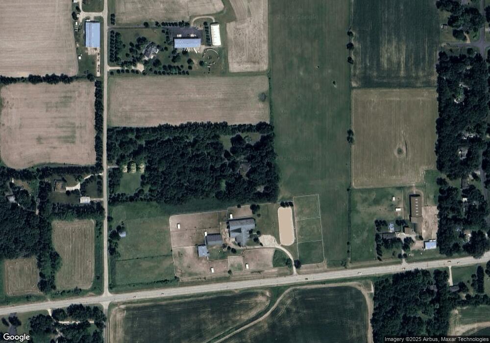
Map
Nearby Homes
- 410 W Reader St
- 425 Cambridge Ave
- 526 N Main St
- 540 Parkside Dr
- 48W201 Keslinger Rd
- 1085 Station Blvd
- 875 Station Blvd
- 411 S 1st St
- 1457 Collins St
- 000 Illinois 47
- 608 Hoyt Dr
- 620 Ridge Dr
- 00 Rt 38 Rd
- 644 Houtz Cir
- Lot 77 Houtz Cir
- 816 Simpson Ave
- 803 Station Blvd
- 43W880 Pathfinder Dr Unit 3
- 000 Winters Rd
- 607 Virginia St
- 38 Francis Rd
- 0 Francis Rd Unit 10895490
- 2N400 Francis Rd
- 38 Francis Rd
- 2N399 Francis Rd
- 2N238 Francis Rd
- 46W644 State Route 38
- 46W276 State Route 38
- 46W571 Il Route 38
- 46W603 Il Route 38
- 2N200 Francis Rd
- 46W691 Il Route 38
- 46W098 Hickory Ln Unit 2
- 2N574 Landrose Ln
- 46W117 Hickory Ln
- 2N460 Landrose Ln
- 46W725 Il Route 38
- 2N440 Landrose Ln
- 2N965 Francis Rd
- 2N965 Francis Rd
Your Personal Tour Guide
Ask me questions while you tour the home.