2N624 Freeland Rd Maple Park, IL 60151
Estimated Value: $426,000 - $564,000
Studio
--
Bath
1,806
Sq Ft
$274/Sq Ft
Est. Value
About This Home
This home is located at 2N624 Freeland Rd, Maple Park, IL 60151 and is currently estimated at $495,346, approximately $274 per square foot. 2N624 Freeland Rd is a home with nearby schools including Kaneland John Stewart Elementary School, Harter Middle School, and Kaneland High School.
Ownership History
Date
Name
Owned For
Owner Type
Purchase Details
Closed on
Sep 11, 2024
Sold by
Morris Kay Ann and Titus Kay Ann
Bought by
Titus Kay Ann and Titus Dana Lee
Current Estimated Value
Create a Home Valuation Report for This Property
The Home Valuation Report is an in-depth analysis detailing your home's value as well as a comparison with similar homes in the area
Home Values in the Area
Average Home Value in this Area
Purchase History
| Date | Buyer | Sale Price | Title Company |
|---|---|---|---|
| Titus Kay Ann | -- | None Listed On Document |
Source: Public Records
Tax History
| Year | Tax Paid | Tax Assessment Tax Assessment Total Assessment is a certain percentage of the fair market value that is determined by local assessors to be the total taxable value of land and additions on the property. | Land | Improvement |
|---|---|---|---|---|
| 2024 | $7,693 | $107,348 | $48,290 | $59,058 |
| 2023 | $7,550 | $99,577 | $44,574 | $55,003 |
| 2022 | $8,016 | $92,213 | $41,084 | $51,129 |
| 2021 | $7,657 | $87,163 | $38,524 | $48,639 |
| 2020 | $7,390 | $83,562 | $36,564 | $46,998 |
| 2019 | $7,165 | $79,801 | $34,602 | $45,199 |
| 2018 | $6,850 | $74,965 | $32,291 | $42,674 |
| 2017 | $6,513 | $70,523 | $30,172 | $40,351 |
| 2016 | $6,246 | $65,947 | $28,104 | $37,843 |
| 2015 | -- | $60,414 | $26,231 | $34,183 |
| 2014 | -- | $58,475 | $25,221 | $33,254 |
| 2013 | -- | $57,939 | $24,685 | $33,254 |
Source: Public Records
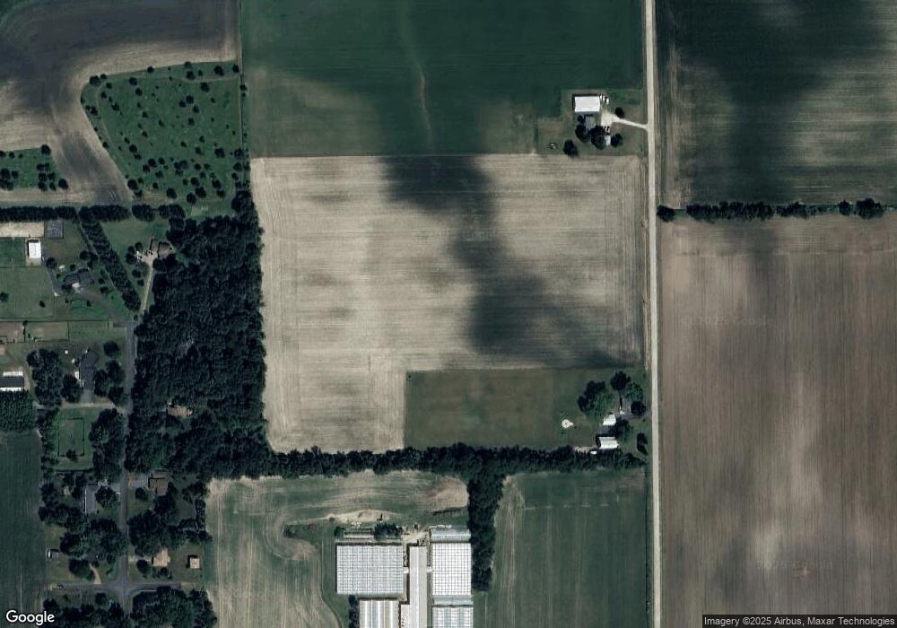
Map
Nearby Homes
- 410 W Reader St
- 526 N Main St
- 425 Cambridge Ave
- 801 N 1st St
- 540 Parkside Dr
- 1457 Collins St
- 411 S 1st St
- 875 Station Blvd
- 608 Hoyt Dr
- 000 Illinois 47
- 620 Ridge Dr
- 644 Houtz Cir
- The Ontario Plan at Williams Ridge
- Lot 77 Houtz Cir
- 816 Simpson Ave
- 803 Station Blvd
- 00 Rt 38 Rd
- 43W880 Pathfinder Dr Unit 3
- 607 Virginia St
- 4N645 Mohican Ln
- 45W880 State Route 38
- 2N671 Landrose Ln
- 2N577 Landrose Ln
- 2N555 Landrose Ln
- 46W055 Hickory Ln
- 2N689 Landrose Ln
- 2N471 Landrose Ln
- 2N612 Landrose Ln
- 2N574 Landrose Ln
- 45W799 Il Route 38
- 45W799 Il Route 38
- 2N439 Landrose Ln
- 46W098 Hickory Ln Unit 2
- 2N691 Landrose Ln
- 46W117 Hickory Ln
- 2N385 Landrose Ln
- 2N460 Landrose Ln
- Lot 8 Route 38
- 2N440 Landrose Ln
- 2N353 Landrose Ln
Your Personal Tour Guide
Ask me questions while you tour the home.