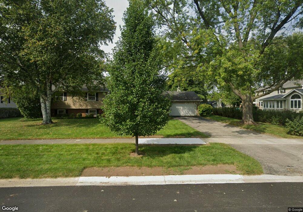
2S152 Apache Dr Wheaton, IL 60189
Arrowhead NeighborhoodEstimated Value: $529,947 - $683,000
About This Home
This home is located at 2S152 Apache Dr, Wheaton, IL 60189 and is currently estimated at $636,487, approximately $366 per square foot. 2S152 Apache Dr is a home located in DuPage County with nearby schools including Wiesbrook Elementary School, Hubble Middle School, and Wheaton Warrenville South High School.
Ownership History
We collect this data history from publicly available records. To have your information removed, we recommend requesting removal directly through your county’s website.
Purchase Details
Home Financials for this Owner
Home Financials are based on the most recent Mortgage that was taken out on this home.Home Values in the Area
Average Home Value in this Area
Purchase History
We collect this data history from publicly available records. To have your information removed, we recommend requesting removal directly through your county’s website.
| Date | Buyer | Sale Price | Title Company |
|---|---|---|---|
| $265,000 | -- |
Mortgage History
We collect this data history from publicly available records. To have your information removed, we recommend requesting removal directly through your county’s website.
| Date | Status | Borrower | Loan Amount |
|---|---|---|---|
| Open | $225,000 | ||
| Closed | $195,000 | ||
| Closed | $49,000 | ||
| Closed | $195,000 | ||
| Closed | $198,000 | ||
| Closed | $200,000 |
Tax History
We collect this data history from publicly available records. To have your information removed, we recommend requesting removal directly through your county’s website.
| Year | Tax Paid | Tax Assessment Tax Assessment Total Assessment is a certain percentage of the fair market value that is determined by local assessors to be the total taxable value of land and additions on the property. | Land | Improvement |
|---|---|---|---|---|
| 2024 | $9,387 | $155,019 | $36,134 | $118,885 |
| 2023 | $8,977 | $142,690 | $33,260 | $109,430 |
| 2022 | $8,714 | $134,850 | $31,430 | $103,420 |
| 2021 | $8,631 | $131,650 | $30,680 | $100,970 |
| 2020 | $8,577 | $130,420 | $30,390 | $100,030 |
| 2019 | $8,356 | $126,980 | $29,590 | $97,390 |
| 2018 | $9,040 | $137,470 | $27,880 | $109,590 |
| 2017 | $8,892 | $132,400 | $26,850 | $105,550 |
| 2016 | $8,775 | $127,110 | $25,780 | $101,330 |
| 2015 | $8,714 | $121,260 | $24,590 | $96,670 |
| 2014 | $8,006 | $109,850 | $27,600 | $82,250 |
| 2013 | $7,762 | $110,180 | $27,680 | $82,500 |
Map
- 1862 W Wiesbrook Rd
- 101 Carrol Gate Rd
- 1601 W Wiesbrook Rd
- 1570 Orchard Rd
- 26W257 Blackhawk Dr
- 1520 Stonebridge Trail Unit 2-1
- 1482 Pebblestone Cove
- 1160 Midwest Ln
- 141 Loretto Ct
- 1755 S Wiesbrook Rd
- 25W328 Plamondon Rd
- 2027 Richton Dr
- 1424 Stonebridge Cir Unit L9
- 1480 Stonebridge Cir Unit D1
- 1482 Stonebridge Cir Unit C6
- 1420 Stonebridge Cir Unit 5N
- 1440 Stonebridge Cir Unit J12
- 1969 Wexford Cir Unit 118
- 1028 Lodalia Ct
- 1760 Shaffner Rd
- 2S168 Apache Dr
- 25W735 Wenona Ln
- 2S151 Big Horn Dr
- 2S139 Big Horn Dr
- 2S167 Big Horn Dr
- 25W709 Towpath Ct
- 2S167 Apache Dr
- 25W736 Durfee Rd
- 25W710 Durfee Rd
- 25W730 Wenona Ln
- 25W752 Durfee Rd
- 2S156 Big Horn Dr
- 25W740 Wenona Ln
- 2S144 Big Horn Dr
- 25W677 Towpath Ct
- 2S132 Big Horn Dr
- 2S118 Apache Dr
- 2S168 Big Horn Dr
- 25W676 Towpath Ct
- 2S111 Big Horn Dr
Ask me questions while you tour the home.