2S838 Wagner Rd Batavia, IL 60510
Southeast Batavia NeighborhoodEstimated Value: $512,000 - $527,000
3
Beds
2
Baths
2,394
Sq Ft
$217/Sq Ft
Est. Value
About This Home
This home is located at 2S838 Wagner Rd, Batavia, IL 60510 and is currently estimated at $519,582, approximately $217 per square foot. 2S838 Wagner Rd is a home located in Kane County with nearby schools including Hoover Wood Elementary School, Sam Rotolo Middle School, and Batavia Sr High School.
Ownership History
Date
Name
Owned For
Owner Type
Purchase Details
Closed on
Jun 9, 2017
Sold by
Dee Jerry and Dee Janet S
Bought by
Lucking Daniel H and Lucking Martha C
Current Estimated Value
Home Financials for this Owner
Home Financials are based on the most recent Mortgage that was taken out on this home.
Original Mortgage
$321,077
Outstanding Balance
$268,734
Interest Rate
4.25%
Mortgage Type
FHA
Estimated Equity
$250,848
Purchase Details
Closed on
Mar 27, 2013
Sold by
Dee Jerry
Bought by
Dee Jerry and Dee Janet S
Purchase Details
Closed on
Jul 8, 1996
Sold by
The Chicago Trust Company
Bought by
Old Second National Bank
Create a Home Valuation Report for This Property
The Home Valuation Report is an in-depth analysis detailing your home's value as well as a comparison with similar homes in the area
Home Values in the Area
Average Home Value in this Area
Purchase History
| Date | Buyer | Sale Price | Title Company |
|---|---|---|---|
| Lucking Daniel H | $327,000 | Chicago Title Insurance Co | |
| Dee Jerry | -- | None Available | |
| Old Second National Bank | -- | -- |
Source: Public Records
Mortgage History
| Date | Status | Borrower | Loan Amount |
|---|---|---|---|
| Open | Lucking Daniel H | $321,077 |
Source: Public Records
Tax History Compared to Growth
Tax History
| Year | Tax Paid | Tax Assessment Tax Assessment Total Assessment is a certain percentage of the fair market value that is determined by local assessors to be the total taxable value of land and additions on the property. | Land | Improvement |
|---|---|---|---|---|
| 2024 | $10,157 | $145,079 | $32,539 | $112,540 |
| 2023 | $10,054 | $131,675 | $29,533 | $102,142 |
| 2022 | $9,699 | $123,061 | $27,601 | $95,460 |
| 2021 | $9,317 | $116,712 | $26,177 | $90,535 |
| 2020 | $9,075 | $114,469 | $25,674 | $88,795 |
| 2019 | $8,949 | $110,417 | $24,765 | $85,652 |
| 2018 | $8,612 | $106,211 | $23,822 | $82,389 |
| 2017 | $7,172 | $93,542 | $23,036 | $70,506 |
| 2016 | $7,048 | $90,817 | $22,365 | $68,452 |
| 2015 | -- | $88,749 | $21,856 | $66,893 |
| 2014 | -- | $85,955 | $21,168 | $64,787 |
| 2013 | -- | $84,278 | $20,755 | $63,523 |
Source: Public Records
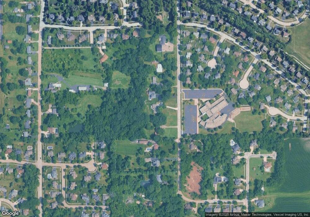
Map
Nearby Homes
- 1667 S Raddant Rd
- 1580 Wind Energy Pass
- 3S201 S Raddant Rd
- 733 Wind Energy Pass
- 1548 Wind Energy Pass
- 610 Norcross Dr
- 1335 Chillem Dr
- 3058 Preakness Ct
- 1017 Willow Ln Unit 2
- 473 Bond Dr
- 943 Orchard Ct
- 1136 Pine Ct
- 1111 Hart Rd
- 918 S Raddant Rd
- 941 Stanton St
- 2856 Church Rd
- 810 Columbia Cir Unit 3
- 2909 Savannah Dr Unit 1
- 1949 Pinnacle Dr
- 704 Greenbrier Ct
- 2S814 Wagner Rd
- 2S872 Wagner Rd
- 2S790 Wagner Rd
- 2S912 Wagner Rd
- 1620 Wagner Rd
- 2S764 Wagner Rd
- 1600 Wagner Rd
- 2S915 Wagner Rd
- 1590 Wagner Rd
- 2S950 Wagner Rd
- 1585 Benson Ct Unit 3
- 1575 Benson Ct Unit 3
- 1580 Wagner Rd
- 1976 Stenman Dr
- 1565 Benson Ct
- 1580 Benson Ct Unit 3
- 2S712 Wagner Rd
- 1570 Wagner Rd
- 2S972 Wagner Rd
- 1982 Stenman Dr