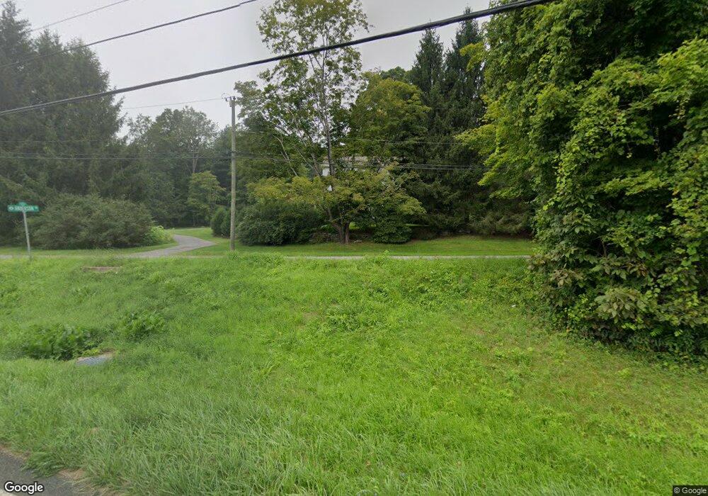
3 Anderson Rd Sherman, CT 06784
Estimated Value: $684,000 - $1,192,000
4
Beds
2
Baths
2,670
Sq Ft
$326/Sq Ft
Est. Value
About This Home
This home is located at 3 Anderson Rd, Sherman, CT 06784 and is currently estimated at $871,065, approximately $326 per square foot. 3 Anderson Rd is a home located in Fairfield County with nearby schools including Sherman School.
Ownership History
Date
Name
Owned For
Owner Type
Purchase Details
Closed on
May 5, 2025
Sold by
Zweig Jason D and Grossi Elizabeth L
Bought by
Jason D Zweig T D and Jason Zweig
Current Estimated Value
Purchase Details
Closed on
Jun 6, 1996
Sold by
Ethier-Yates Monique
Bought by
Zweig Jason D and Grossi Elizabeth
Home Financials for this Owner
Home Financials are based on the most recent Mortgage that was taken out on this home.
Original Mortgage
$125,000
Interest Rate
7.89%
Mortgage Type
Unknown
Purchase Details
Closed on
Nov 4, 1994
Sold by
Crouse Craig R and Crouse Joanne Kelly
Bought by
Ethier Yates Monique
Create a Home Valuation Report for This Property
The Home Valuation Report is an in-depth analysis detailing your home's value as well as a comparison with similar homes in the area
Home Values in the Area
Average Home Value in this Area
Purchase History
| Date | Buyer | Sale Price | Title Company |
|---|---|---|---|
| Jason D Zweig T D | -- | None Available | |
| Jason D Zweig T D | -- | None Available | |
| Zweig Jason D | $350,000 | -- | |
| Zweig Jason D | $350,000 | -- | |
| Ethier Yates Monique | $353,500 | -- | |
| Ethier Yates Monique | $353,500 | -- |
Source: Public Records
Mortgage History
| Date | Status | Borrower | Loan Amount |
|---|---|---|---|
| Previous Owner | Ethier Yates Monique | $315,999 | |
| Previous Owner | Ethier Yates Monique | $78,000 | |
| Previous Owner | Ethier Yates Monique | $125,000 |
Source: Public Records
Tax History
| Year | Tax Paid | Tax Assessment Tax Assessment Total Assessment is a certain percentage of the fair market value that is determined by local assessors to be the total taxable value of land and additions on the property. | Land | Improvement |
|---|---|---|---|---|
| 2025 | $6,628 | $397,600 | $95,100 | $302,500 |
| 2024 | $6,505 | $397,600 | $95,100 | $302,500 |
| 2023 | $7,085 | $397,600 | $95,100 | $302,500 |
| 2022 | $7,228 | $397,600 | $95,100 | $302,500 |
| 2021 | $7,281 | $390,600 | $95,100 | $295,500 |
| 2020 | $7,464 | $390,600 | $95,100 | $295,500 |
| 2019 | $7,738 | $390,600 | $95,100 | $295,500 |
| 2018 | $12,989 | $379,000 | $95,100 | $283,900 |
| 2017 | $7,705 | $379,000 | $95,100 | $283,900 |
| 2016 | $7,427 | $365,330 | $95,130 | $270,200 |
| 2015 | $7,321 | $365,330 | $95,130 | $270,200 |
| 2014 | $7,179 | $361,830 | $95,130 | $266,700 |
Source: Public Records
Map
Nearby Homes
- 00 Anderson Rd
- 105 Route 39 N
- 6 Hoyt Rd
- 24 Colonial Ridge Dr
- 1 Hoyt Rd
- 31 Cedar Hill Rd
- 685 Kent Rd
- 612 Kent Rd
- 165 Duell Hollow Rd
- 32 Long River Rd
- 60 Long River Rd
- 42 Long River Rd
- 11 Gelston Rd
- 34 Front of the Mountain Rd
- 2 Coburn Road W, She Coburn Rd W
- 604 N Quaker Hill Rd
- 5 Lyric Ln
- 1125 Old Quaker Hill Rd
- 113 Dog Tail Corners Rd
- 149 Johnson Rd
- 5 Anderson Rd
- 131 Route 39 N
- 25A Anderson Rd Unit A
- 5A Anderson Rd
- 108 Route 39 N
- 127 Route 39 N
- 106 Route 39 N
- 4 Anderson Road Extension
- 126 Route 39 N
- 13 Circle Drive Extension
- 15 Anderson Rd
- 112 Route 39 N
- 2 Anderson Road Extension
- 128 Route 39 N
- 129 Route 39 N
- 25 Anderson Rd
- 25 Anderson Rd Unit A
- 25 Anderson Rd Unit B
- 137 Route 39 N
