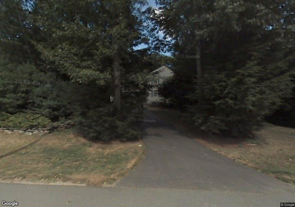
3 Balsam Way Plaistow, NH 03865
Estimated Value: $640,591 - $727,000
4
Beds
3
Baths
2,184
Sq Ft
$311/Sq Ft
Est. Value
About This Home
This home is located at 3 Balsam Way, Plaistow, NH 03865 and is currently estimated at $679,648, approximately $311 per square foot. 3 Balsam Way is a home with nearby schools including Pollard Elementary School, Timberlane Regional Middle School, and Timberlane Regional High School.
Ownership History
Date
Name
Owned For
Owner Type
Purchase Details
Closed on
Dec 12, 2003
Sold by
Cendant Mobility Fin C
Bought by
Hamilton Robert A and Hamilton Lyn C
Current Estimated Value
Home Financials for this Owner
Home Financials are based on the most recent Mortgage that was taken out on this home.
Original Mortgage
$35,000
Outstanding Balance
$16,241
Interest Rate
5.9%
Estimated Equity
$663,407
Create a Home Valuation Report for This Property
The Home Valuation Report is an in-depth analysis detailing your home's value as well as a comparison with similar homes in the area
Home Values in the Area
Average Home Value in this Area
Purchase History
| Date | Buyer | Sale Price | Title Company |
|---|---|---|---|
| Hamilton Robert A | $360,000 | -- | |
| Cendant Mobility Fin C | $360,000 | -- |
Source: Public Records
Mortgage History
| Date | Status | Borrower | Loan Amount |
|---|---|---|---|
| Open | Cendant Mobility Fin C | $35,000 |
Source: Public Records
Tax History Compared to Growth
Tax History
| Year | Tax Paid | Tax Assessment Tax Assessment Total Assessment is a certain percentage of the fair market value that is determined by local assessors to be the total taxable value of land and additions on the property. | Land | Improvement |
|---|---|---|---|---|
| 2024 | $8,860 | $427,600 | $149,100 | $278,500 |
| 2023 | $9,553 | $427,600 | $149,100 | $278,500 |
| 2022 | $8,129 | $427,600 | $149,100 | $278,500 |
| 2021 | $8,107 | $427,600 | $149,100 | $278,500 |
| 2020 | $8,549 | $394,870 | $111,370 | $283,500 |
| 2019 | $8,415 | $394,870 | $111,370 | $283,500 |
| 2018 | $7,805 | $317,390 | $95,190 | $222,200 |
| 2017 | $7,605 | $317,390 | $95,190 | $222,200 |
| 2016 | $7,141 | $317,390 | $95,190 | $222,200 |
| 2015 | $7,234 | $299,410 | $106,410 | $193,000 |
| 2014 | $6,853 | $272,700 | $102,300 | $170,400 |
| 2011 | $6,701 | $271,200 | $102,300 | $168,900 |
Source: Public Records
Map
Nearby Homes
- 267 Main St
- 333 Main St
- 25 Cottonwood Rd
- 220 Central St
- 31 Country Rd
- 19 Crown Hill Rd
- 15 Culver St Unit 49
- 93 Faith Dr
- 7 Middle Rd Unit B
- 13 Cottonwood Rd
- 4 Shady Ln
- 5 Shady Ln
- 3 Shady Ln
- 9 Lefevre Dr
- 27 Jericho Dr
- 16 Jericho Dr
- 9 Springfield Dr Unit 908D
- 132 Maple Ave
- 193 Main St
- 3 Bent Grass Cir Unit 34