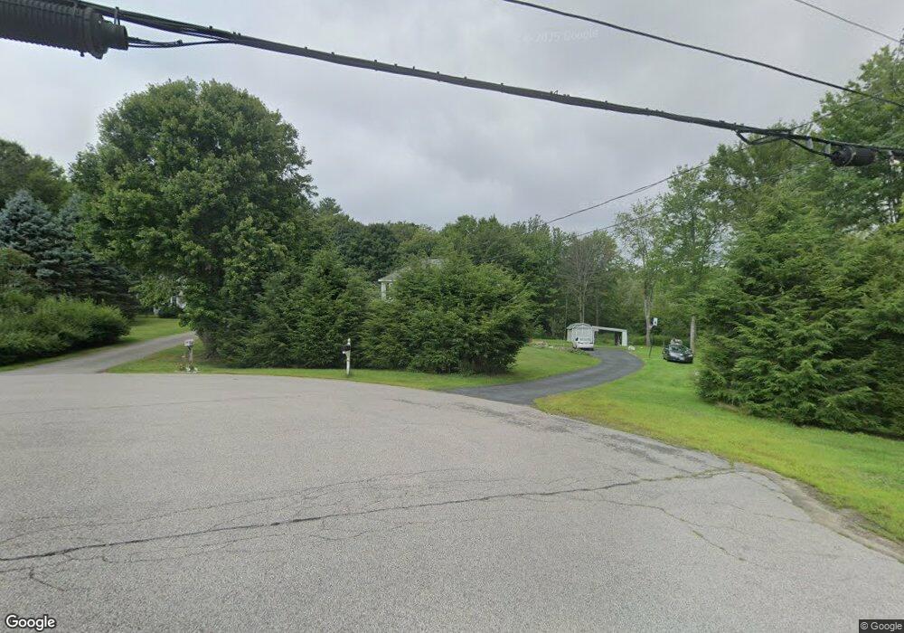
3 Blueridge Cir Stratham, NH 03885
Estimated Value: $734,677 - $872,000
3
Beds
2
Baths
1,992
Sq Ft
$395/Sq Ft
Est. Value
About This Home
This home is located at 3 Blueridge Cir, Stratham, NH 03885 and is currently estimated at $786,669, approximately $394 per square foot. 3 Blueridge Cir is a home located in Rockingham County with nearby schools including Stratham Memorial School, Cooperative Middle School, and Exeter High School.
Ownership History
Date
Name
Owned For
Owner Type
Purchase Details
Closed on
Jun 2, 2009
Sold by
Bank Of America Na Tr
Bought by
Fooa Siong and Fooa Ying N
Current Estimated Value
Home Financials for this Owner
Home Financials are based on the most recent Mortgage that was taken out on this home.
Original Mortgage
$224,000
Interest Rate
4.87%
Mortgage Type
Purchase Money Mortgage
Purchase Details
Closed on
May 19, 2009
Sold by
Kim Michael S
Bought by
Bank Of America Na Tr
Home Financials for this Owner
Home Financials are based on the most recent Mortgage that was taken out on this home.
Original Mortgage
$224,000
Interest Rate
4.87%
Mortgage Type
Purchase Money Mortgage
Purchase Details
Closed on
Jun 22, 2005
Sold by
Palazzolo Joseph F and Palazzolo Marsha
Bought by
Kim Michael S and Kim Ju Y
Home Financials for this Owner
Home Financials are based on the most recent Mortgage that was taken out on this home.
Original Mortgage
$287,900
Interest Rate
5.82%
Mortgage Type
Purchase Money Mortgage
Create a Home Valuation Report for This Property
The Home Valuation Report is an in-depth analysis detailing your home's value as well as a comparison with similar homes in the area
Home Values in the Area
Average Home Value in this Area
Purchase History
| Date | Buyer | Sale Price | Title Company |
|---|---|---|---|
| Fooa Siong | $280,000 | -- | |
| Bank Of America Na Tr | $221,000 | -- | |
| Kim Michael S | $359,900 | -- |
Source: Public Records
Mortgage History
| Date | Status | Borrower | Loan Amount |
|---|---|---|---|
| Open | Kim Michael S | $178,000 | |
| Closed | Kim Michael S | $224,000 | |
| Previous Owner | Kim Michael S | $287,900 |
Source: Public Records
Tax History Compared to Growth
Tax History
| Year | Tax Paid | Tax Assessment Tax Assessment Total Assessment is a certain percentage of the fair market value that is determined by local assessors to be the total taxable value of land and additions on the property. | Land | Improvement |
|---|---|---|---|---|
| 2024 | $8,697 | $662,900 | $354,100 | $308,800 |
| 2023 | $8,389 | $401,200 | $182,100 | $219,100 |
| 2022 | $7,506 | $401,200 | $182,100 | $219,100 |
| 2021 | $7,430 | $401,200 | $182,100 | $219,100 |
| 2020 | $7,603 | $401,200 | $182,100 | $219,100 |
| 2019 | $3,384 | $401,200 | $182,100 | $219,100 |
| 2018 | $7,094 | $337,800 | $137,100 | $200,700 |
| 2017 | $6,857 | $337,800 | $137,100 | $200,700 |
| 2016 | $6,891 | $337,800 | $137,100 | $200,700 |
| 2015 | $6,722 | $337,800 | $137,100 | $200,700 |
Source: Public Records
Map
Nearby Homes
- 13 Dearborn Rd
- 00 Lovell Rd Unit 22
- 24 Great Bay Rd
- 141 Dearborn Rd
- 14 Balmoral Dr
- Unit 26 Summerwind Place Unit 26
- 39 Glengarry Dr
- 44 High St
- 00 Scamman Rd
- 64 Boxwood Path Unit 64
- 227 Portsmouth Ave
- 217 Portsmouth Ave
- 12 Founders Square Unit A
- 36 Downs Ave
- 18 Treat Farm Rd
- 54 Brookside Dr
- 5 Brookside Dr
- 34 Kinloch Dr
- 4 Kildary Dr
- 177 Winnicutt Rd
- 3 Blue Ridge Cir
- 1 Blueridge Cir
- 349 Portsmouth Ave
- 347 Portsmouth Ave
- 353 Portsmouth Ave
- 2 Blueridge Cir
- 345 Portsmouth Ave
- 355 Portsmouth Ave
- 381 Route 33
- 17 Cortland Dr
- 16 Cortland Dr
- 1139 Portsmouth Ave
- 343 Portsmouth Ave
- 11 Pheasant Run Ln
- 2 Pheasant Run Ln
- 13 Cortland Dr
- 12 Cortland Dr
- 26 Pheasant Unit 26
- 4 Thompson Brook Cir Unit 5A
- 4 Thompson Brook Cir