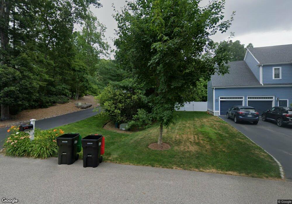
3 Bristol Ln Foxboro, MA 02035
Estimated Value: $1,162,000 - $1,629,000
5
Beds
3
Baths
3,343
Sq Ft
$391/Sq Ft
Est. Value
About This Home
This home is located at 3 Bristol Ln, Foxboro, MA 02035 and is currently estimated at $1,306,617, approximately $390 per square foot. 3 Bristol Ln is a home with nearby schools including Foxborough High School, Foxborough Regional Charter School, and Hands-On-Montessori School.
Ownership History
Date
Name
Owned For
Owner Type
Purchase Details
Closed on
Feb 5, 2016
Sold by
Baron Stanley J and Baron Tina
Bought by
Baron Stanley J and Baron Tina
Current Estimated Value
Purchase Details
Closed on
Jul 20, 2011
Sold by
Mill Street Preserve L
Bought by
Baron Stanley J and Baron Tina
Home Financials for this Owner
Home Financials are based on the most recent Mortgage that was taken out on this home.
Original Mortgage
$493,750
Interest Rate
4.49%
Mortgage Type
Purchase Money Mortgage
Create a Home Valuation Report for This Property
The Home Valuation Report is an in-depth analysis detailing your home's value as well as a comparison with similar homes in the area
Home Values in the Area
Average Home Value in this Area
Purchase History
| Date | Buyer | Sale Price | Title Company |
|---|---|---|---|
| Baron Stanley J | -- | -- | |
| Baron Stanley J | $759,750 | -- |
Source: Public Records
Mortgage History
| Date | Status | Borrower | Loan Amount |
|---|---|---|---|
| Previous Owner | Baron Stanley J | $493,750 |
Source: Public Records
Tax History Compared to Growth
Tax History
| Year | Tax Paid | Tax Assessment Tax Assessment Total Assessment is a certain percentage of the fair market value that is determined by local assessors to be the total taxable value of land and additions on the property. | Land | Improvement |
|---|---|---|---|---|
| 2025 | $14,241 | $1,077,200 | $406,500 | $670,700 |
| 2024 | $13,371 | $989,700 | $367,200 | $622,500 |
| 2023 | $13,141 | $924,800 | $374,800 | $550,000 |
| 2022 | $12,679 | $873,200 | $347,900 | $525,300 |
| 2021 | $12,899 | $875,100 | $358,800 | $516,300 |
| 2020 | $12,476 | $856,300 | $358,800 | $497,500 |
| 2019 | $11,204 | $762,200 | $289,900 | $472,300 |
| 2018 | $10,911 | $748,900 | $289,900 | $459,000 |
| 2017 | $10,617 | $705,900 | $270,900 | $435,000 |
| 2016 | $11,087 | $748,100 | $308,700 | $439,400 |
| 2015 | $11,099 | $730,700 | $268,400 | $462,300 |
| 2014 | $10,817 | $721,600 | $268,400 | $453,200 |
Source: Public Records
Map
Nearby Homes
- 80 Mill St
- 12 West St
- 84 South St
- 8 Howard Ave
- 3 Bassett St
- 14 Baker St
- 16 Bradner St
- 483 Thurston St
- 194 Central St
- 115 S High St
- 39 Mechanic St Unit A
- 5 Post Rd
- 11 Goodwin Dr
- 8 Conway Ln
- 132 S High St
- 11 W Belcher Rd Unit 5
- 84 Cocasset St Unit A6
- 19 Fuller Rd Unit 7
- 356 Central St
- 18 Winter St Unit E