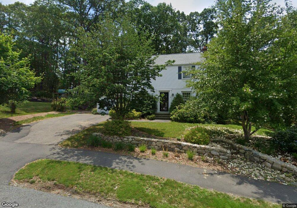
3 Buckingham Rd Natick, MA 01760
Estimated Value: $967,409 - $1,077,000
5
Beds
2
Baths
2,146
Sq Ft
$475/Sq Ft
Est. Value
About This Home
This home is located at 3 Buckingham Rd, Natick, MA 01760 and is currently estimated at $1,019,852, approximately $475 per square foot. 3 Buckingham Rd is a home located in Middlesex County with nearby schools including Natick High School, Brown Elementary School, and J F Kennedy Middle School.
Ownership History
Date
Name
Owned For
Owner Type
Purchase Details
Closed on
Aug 17, 2006
Sold by
Green Kevin Thomas and Green Peter Derwin
Bought by
Page Matthew Oliver and Finn Sheila Elaine
Current Estimated Value
Home Financials for this Owner
Home Financials are based on the most recent Mortgage that was taken out on this home.
Original Mortgage
$450,000
Outstanding Balance
$271,930
Interest Rate
6.88%
Mortgage Type
Purchase Money Mortgage
Estimated Equity
$747,922
Create a Home Valuation Report for This Property
The Home Valuation Report is an in-depth analysis detailing your home's value as well as a comparison with similar homes in the area
Home Values in the Area
Average Home Value in this Area
Purchase History
| Date | Buyer | Sale Price | Title Company |
|---|---|---|---|
| Page Matthew Oliver | $480,000 | -- |
Source: Public Records
Mortgage History
| Date | Status | Borrower | Loan Amount |
|---|---|---|---|
| Open | Page Matthew Oliver | $450,000 |
Source: Public Records
Tax History
| Year | Tax Paid | Tax Assessment Tax Assessment Total Assessment is a certain percentage of the fair market value that is determined by local assessors to be the total taxable value of land and additions on the property. | Land | Improvement |
|---|---|---|---|---|
| 2025 | $9,878 | $825,900 | $481,300 | $344,600 |
| 2024 | $9,522 | $776,700 | $455,900 | $320,800 |
| 2023 | $9,220 | $729,400 | $425,000 | $304,400 |
| 2022 | $8,676 | $650,400 | $384,000 | $266,400 |
| 2021 | $3,504 | $612,300 | $363,800 | $248,500 |
| 2020 | $8,127 | $597,100 | $348,600 | $248,500 |
| 2019 | $7,589 | $597,100 | $348,600 | $248,500 |
| 2018 | $35,277 | $559,900 | $303,200 | $256,700 |
| 2017 | $6,656 | $493,400 | $259,000 | $234,400 |
| 2016 | $6,382 | $470,300 | $238,000 | $232,300 |
| 2015 | $6,241 | $451,600 | $238,000 | $213,600 |
Source: Public Records
Map
Nearby Homes
- 26 Fairway Cir Unit 26
- 21 Kelsey Rd
- 157 Mill St
- 26 Wellesley Ave Unit B
- 36 Silver Hill Ln Unit 21
- 3 Silver Hill Ln Unit 6
- 46 Silver Hill Ln Unit 1
- 10 Nouvelle Way Unit 803
- 40 Nouvelle Way Unit 441
- 10 Nouvelle Way Unit 923
- 79 Speen St
- 27 2nd St
- 50 Village Brook Ln Unit 4
- 57 Village Brook Ln Unit 5
- 4 Village Brook Ln
- 293 Bacon St Unit A
- 56 Morency St Unit D
- 52 Village Brook Ln Unit 14
- 4 Village Rock Ln Unit 9
- 21 Village Rock Ln Unit 4
Your Personal Tour Guide
Ask me questions while you tour the home.