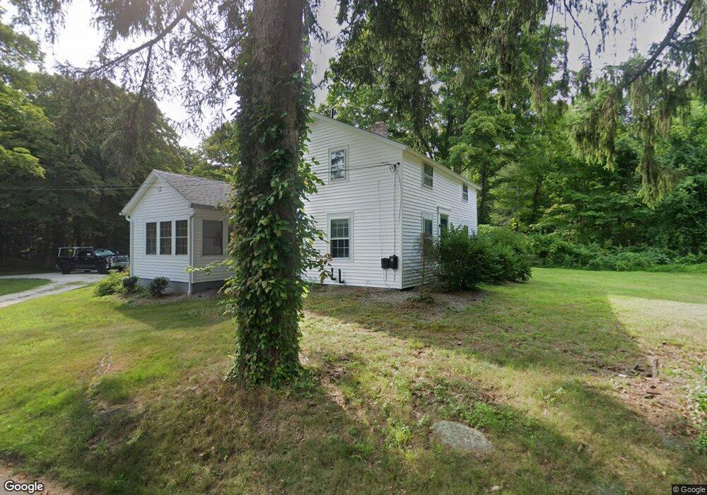
3 Bunker Hill Rd Killingworth, CT 06419
Estimated Value: $495,875 - $594,000
2
Beds
2
Baths
1,630
Sq Ft
$324/Sq Ft
Est. Value
About This Home
This home is located at 3 Bunker Hill Rd, Killingworth, CT 06419 and is currently estimated at $528,719, approximately $324 per square foot. 3 Bunker Hill Rd is a home located in Middlesex County with nearby schools including Haddam-Killingworth High School.
Ownership History
Date
Name
Owned For
Owner Type
Purchase Details
Closed on
Mar 2, 2022
Sold by
Lally James
Bought by
Bunker Hill 3 Llc
Current Estimated Value
Purchase Details
Closed on
Sep 9, 1999
Sold by
Jaycox Freda R
Bought by
Lally James
Home Financials for this Owner
Home Financials are based on the most recent Mortgage that was taken out on this home.
Original Mortgage
$151,900
Interest Rate
7.65%
Create a Home Valuation Report for This Property
The Home Valuation Report is an in-depth analysis detailing your home's value as well as a comparison with similar homes in the area
Home Values in the Area
Average Home Value in this Area
Purchase History
| Date | Buyer | Sale Price | Title Company |
|---|---|---|---|
| Bunker Hill 3 Llc | -- | None Available | |
| Lally James | $217,000 | -- |
Source: Public Records
Mortgage History
| Date | Status | Borrower | Loan Amount |
|---|---|---|---|
| Previous Owner | Lally James | $170,200 | |
| Previous Owner | Lally James | $151,900 | |
| Closed | Lally James | $21,700 |
Source: Public Records
Tax History Compared to Growth
Tax History
| Year | Tax Paid | Tax Assessment Tax Assessment Total Assessment is a certain percentage of the fair market value that is determined by local assessors to be the total taxable value of land and additions on the property. | Land | Improvement |
|---|---|---|---|---|
| 2025 | $5,020 | $191,450 | $78,750 | $112,700 |
| 2024 | $4,637 | $191,450 | $78,750 | $112,700 |
| 2023 | $4,493 | $191,450 | $78,750 | $112,700 |
| 2022 | $4,445 | $191,450 | $78,750 | $112,700 |
| 2021 | $4,461 | $176,890 | $82,250 | $94,640 |
| 2020 | $4,519 | $176,890 | $82,250 | $94,640 |
| 2019 | $1,791 | $176,890 | $82,250 | $94,640 |
| 2018 | $4,859 | $176,890 | $82,250 | $94,640 |
| 2017 | $4,859 | $176,890 | $82,250 | $94,640 |
| 2016 | $5,663 | $218,720 | $127,640 | $91,080 |
| 2015 | $5,518 | $218,720 | $127,640 | $91,080 |
| 2014 | $5,365 | $218,720 | $127,640 | $91,080 |
Source: Public Records
Map
Nearby Homes
- 25 Route 79
- 2175 Durham Rd
- 193 Emanuel Church Rd
- 0 Little City Rd
- 206 Little City Rd
- 12 Jackson Rd
- 593 Route 148
- 590 Route 148
- 30 Renees Way
- 34 Skunk Misery Rd
- Lots 1 & 2 Jackson Rd
- 204 Old Blue Hills Rd
- 7 Northview Dr
- 42 Pine Ledge Trail
- 45 Summersweet Dr
- 4 Jans Way
- 3 Copley Rd
- 36 Meadow Rd
- 76 Higganum Rd
- 13 Cranberry Meadow Ln
- 804 Route 148
- 806 Route 148
- 806 Route 148
- 796 Route 148
- 22 Bunker Hill Rd
- 786 Route 148
- 784 Route 148
- 790 Route 148
- 34 Bunker Hill Rd
- 33 Bunker Hill Rd
- 830 Route 148
- 37 Bunker Hill Rd
- 776 Route 148
- 35 Bunker Hill Rd
- 834 Route 148
- 41 Bunker Hill Rd
- 766 Route 148
- 51 Bunker Hill Rd
- 51 Bunker Hill Rd
- 12 Skyline Dr