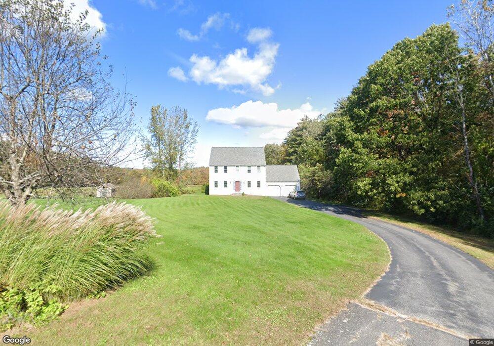
3 Carriage Way Sterling, MA 01564
Estimated Value: $683,000 - $943,000
3
Beds
3
Baths
2,048
Sq Ft
$371/Sq Ft
Est. Value
About This Home
This home is located at 3 Carriage Way, Sterling, MA 01564 and is currently estimated at $760,605, approximately $371 per square foot. 3 Carriage Way is a home located in Worcester County with nearby schools including Wachusett Regional High School and South Lancaster Academy.
Ownership History
Date
Name
Owned For
Owner Type
Purchase Details
Closed on
Jun 24, 1994
Sold by
Sterling Countryside
Bought by
Buxton Richard M and Buxton Margaret
Current Estimated Value
Home Financials for this Owner
Home Financials are based on the most recent Mortgage that was taken out on this home.
Original Mortgage
$155,000
Interest Rate
8.74%
Mortgage Type
Purchase Money Mortgage
Create a Home Valuation Report for This Property
The Home Valuation Report is an in-depth analysis detailing your home's value as well as a comparison with similar homes in the area
Home Values in the Area
Average Home Value in this Area
Purchase History
| Date | Buyer | Sale Price | Title Company |
|---|---|---|---|
| Buxton Richard M | $210,980 | -- |
Source: Public Records
Mortgage History
| Date | Status | Borrower | Loan Amount |
|---|---|---|---|
| Closed | Buxton Richard M | $155,000 |
Source: Public Records
Tax History Compared to Growth
Tax History
| Year | Tax Paid | Tax Assessment Tax Assessment Total Assessment is a certain percentage of the fair market value that is determined by local assessors to be the total taxable value of land and additions on the property. | Land | Improvement |
|---|---|---|---|---|
| 2025 | $7,912 | $614,300 | $197,400 | $416,900 |
| 2024 | $7,733 | $581,000 | $191,300 | $389,700 |
| 2023 | $7,412 | $518,300 | $183,200 | $335,100 |
| 2022 | $6,561 | $430,200 | $161,900 | $268,300 |
| 2021 | $6 | $403,400 | $159,200 | $244,200 |
| 2020 | $6,968 | $414,500 | $172,300 | $242,200 |
| 2019 | $6,744 | $390,500 | $172,300 | $218,200 |
| 2018 | $9,014 | $379,300 | $166,000 | $213,300 |
| 2017 | $6,291 | $348,900 | $153,200 | $195,700 |
| 2016 | $6,223 | $339,500 | $153,200 | $186,300 |
| 2015 | $5,823 | $336,800 | $152,700 | $184,100 |
| 2014 | $5,616 | $331,700 | $152,700 | $179,000 |
Source: Public Records
Map
Nearby Homes
- 121 &125 Flanagan Hill Rd
- 0 Brockelman Rd Unit 73424117
- 765 Brockelman Rd
- 765 Brockelman Road Lot C
- 28 Sandy Ridge Rd
- 96 Clinton Rd
- 25 N Row Rd
- 2 Katie Ln
- 151 Berrington Rd
- 2 Stuart Rd
- 675 Willard St
- 1237 Central St Unit 2
- 1237 Central St Unit 15
- 26 Belview Dr
- 94 Sycamore Dr Unit 94
- 597 Willard St
- 97 N Row Rd
- 303 Ponakin Rd
- 136 Narrow Ln
- 23 Lantern Ln
- 4 Carriage Way
- 2 Carriage Way
- 6 Deborah Ln
- 1 Carriage Way
- 108 Flanagan Hill Rd
- 102 Flanagan Hill Rd
- 104 Flanagan Hill Rd
- 106 Flanagan Hill Rd
- 4 Deborah Ln
- 98 Flanagan Hill Rd
- 9 Deborah Ln
- 2 Deborah Ln
- 5 Deborah Ln
- 110 Flanagan Hill Rd
- 8 Deborah Ln
- 7 Deborah Ln
- 103 Flanagan Hill Rd
- 107 Flanagan Hill Rd
- 3 Deborah Ln
- 3 Deborah Ln Unit 1