3 Cheryl Ln Southampton, MA 01073
Estimated Value: $443,138 - $537,000
3
Beds
2
Baths
1,685
Sq Ft
$285/Sq Ft
Est. Value
About This Home
This home is located at 3 Cheryl Ln, Southampton, MA 01073 and is currently estimated at $480,285, approximately $285 per square foot. 3 Cheryl Ln is a home located in Hampshire County with nearby schools including William E Norris School, White Oak School, and Westfield Christian Academy.
Ownership History
Date
Name
Owned For
Owner Type
Purchase Details
Closed on
Sep 27, 1991
Sold by
Grillo Cynthia A and Grillo James J
Bought by
Fitzgerald James E and Lynch Irene E
Current Estimated Value
Home Financials for this Owner
Home Financials are based on the most recent Mortgage that was taken out on this home.
Original Mortgage
$72,000
Interest Rate
9.1%
Mortgage Type
Purchase Money Mortgage
Create a Home Valuation Report for This Property
The Home Valuation Report is an in-depth analysis detailing your home's value as well as a comparison with similar homes in the area
Home Values in the Area
Average Home Value in this Area
Purchase History
| Date | Buyer | Sale Price | Title Company |
|---|---|---|---|
| Fitzgerald James E | $132,000 | -- |
Source: Public Records
Mortgage History
| Date | Status | Borrower | Loan Amount |
|---|---|---|---|
| Open | Fitzgerald James E | $150,000 | |
| Closed | Fitzgerald James E | $14,100 | |
| Closed | Fitzgerald James E | $14,100 | |
| Closed | Fitzgerald James E | $72,000 |
Source: Public Records
Tax History Compared to Growth
Tax History
| Year | Tax Paid | Tax Assessment Tax Assessment Total Assessment is a certain percentage of the fair market value that is determined by local assessors to be the total taxable value of land and additions on the property. | Land | Improvement |
|---|---|---|---|---|
| 2025 | $5,013 | $353,800 | $95,100 | $258,700 |
| 2024 | $5,042 | $353,800 | $95,100 | $258,700 |
| 2023 | $4,748 | $331,300 | $95,100 | $236,200 |
| 2022 | $4,483 | $297,500 | $85,900 | $211,600 |
| 2021 | $4,342 | $271,900 | $78,800 | $193,100 |
| 2020 | $4,346 | $274,700 | $78,800 | $195,900 |
| 2019 | $4,241 | $260,000 | $78,800 | $181,200 |
| 2018 | $4,004 | $239,500 | $70,800 | $168,700 |
| 2017 | $3,909 | $239,500 | $70,800 | $168,700 |
| 2015 | $3,778 | $240,500 | $64,300 | $176,200 |
Source: Public Records
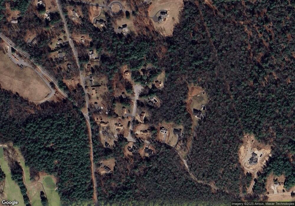
Map
Nearby Homes
- 369 College Hwy
- Lot 57 White Loaf Rd
- 119 Brickyard Rd
- Lot 5 Brickyard Rd
- 36 County Rd
- Lot 5 Gil Farm Rd
- Lot 6 Gil Farm Rd
- 4 Fitch Farm Way
- 216 College Hwy
- 150 Middle Rd
- 94 Pequot Rd (Rear)
- 14 Eastwood Dr
- 22 Eastwood Ln
- 405 Rock Valley Rd
- 64 Old Stage Rd
- 56 Pomeroy St
- 36 Line St
- 59 Campbell Dr
- 22 Phelps St
- 95 Gunn Rd
- 5 Cheryl Ln
- 69 Moose Brook Rd
- 4 Cheryl Ln
- 73 Strong Rd
- 6 Cheryl Ln
- 67 Moose Brook Rd
- 71 Strong Rd
- 73 Moose Brook Rd
- 73 Moose Brook Rd Unit 1
- 7 Cheryl Ln
- Lot C Strong Rd
- 70 Moose Brook Rd
- 74 Moose Brook Rd
- 8 Cheryl Ln
- 67 Strong Rd
- 75 Moose Brook Rd
- 10 Cheryl Ln
- 76 Moose Brook Rd
- 65 Strong Rd
- 68 Strong Rd