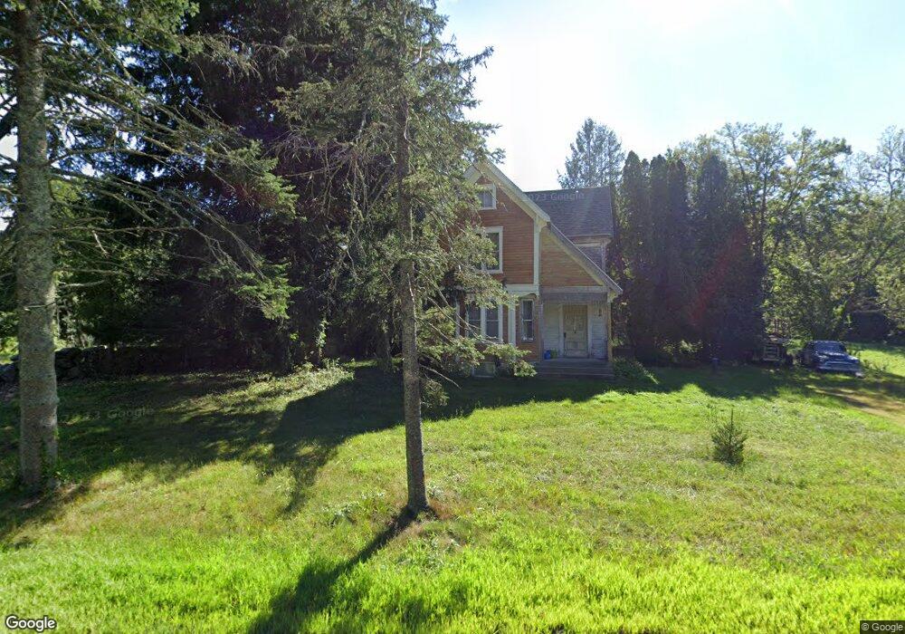
3 Crandall Rd Little Compton, RI 02837
Estimated Value: $532,735 - $830,000
4
Beds
1
Bath
901
Sq Ft
$715/Sq Ft
Est. Value
About This Home
This home is located at 3 Crandall Rd, Little Compton, RI 02837 and is currently estimated at $643,934, approximately $714 per square foot. 3 Crandall Rd is a home located in Newport County with nearby schools including Wilbur & McMahon School.
Ownership History
Date
Name
Owned For
Owner Type
Purchase Details
Closed on
Jun 18, 2019
Sold by
Deschene David J
Bought by
David J Deschene Ret
Current Estimated Value
Purchase Details
Closed on
Apr 25, 2002
Sold by
Fidelity Fin Inc
Bought by
Fernwood Bldrs Co Inc
Home Financials for this Owner
Home Financials are based on the most recent Mortgage that was taken out on this home.
Original Mortgage
$201,000
Interest Rate
7.05%
Purchase Details
Closed on
Oct 21, 1997
Sold by
Deschene Ludger H and Deschene Thomas E
Bought by
Nelson Jeannie M
Create a Home Valuation Report for This Property
The Home Valuation Report is an in-depth analysis detailing your home's value as well as a comparison with similar homes in the area
Home Values in the Area
Average Home Value in this Area
Purchase History
| Date | Buyer | Sale Price | Title Company |
|---|---|---|---|
| David J Deschene Ret | -- | -- | |
| Fernwood Bldrs Co Inc | $83,000 | -- | |
| Nelson Jeannie M | $45,000 | -- |
Source: Public Records
Mortgage History
| Date | Status | Borrower | Loan Amount |
|---|---|---|---|
| Previous Owner | Nelson Jeannie M | $201,000 |
Source: Public Records
Tax History
| Year | Tax Paid | Tax Assessment Tax Assessment Total Assessment is a certain percentage of the fair market value that is determined by local assessors to be the total taxable value of land and additions on the property. | Land | Improvement |
|---|---|---|---|---|
| 2025 | $2,185 | $456,200 | $273,600 | $182,600 |
| 2024 | $1,913 | $376,500 | $201,100 | $175,400 |
| 2023 | $1,867 | $376,500 | $201,100 | $175,400 |
| 2022 | $1,845 | $376,500 | $201,100 | $175,400 |
| 2021 | $2,068 | $342,400 | $175,000 | $167,400 |
| 2020 | $2,051 | $342,400 | $175,000 | $167,400 |
| 2019 | $2,030 | $342,400 | $175,000 | $167,400 |
| 2018 | $2,073 | $347,900 | $183,000 | $164,900 |
| 2016 | $1,973 | $347,900 | $183,000 | $164,900 |
| 2015 | $2,021 | $351,500 | $180,700 | $170,800 |
| 2014 | $1,982 | $351,500 | $180,700 | $170,800 |
Source: Public Records
Map
Nearby Homes
- 17 Quail Trail
- 164 Stoney Hollow Rd
- 25 Quail Trail
- 1282 East Rd
- 116 Amy Hart Path
- 17 Amy Hart Path
- 127 Preservation Way
- 90 Two Rod Rd
- 502 Southlake Rd
- 140 Long Hwy
- 245 John Dyer Rd
- 140I Long Hwy
- 101 Adamsville Rd
- 394 Lake Rd
- 1070 Crandall Rd Unit 4
- 255 John Dyer Rd
- 505 Long Hwy
- 8 Village Way
- 1 Puddingstone Cir
- 0 Sodom Rd Unit 73484265
- 9 Crandall Rd
- 15 Crandall Rd
- 9 Brookside Ln
- 11 Brookside Ln
- 2037 Crandall Rd
- 9 Bramblewood Cross Rd
- 15 Brookside Ln
- 3 Bramblewood Cross Rd
- 2 Magnolia Way
- 2033 Crandall Rd
- 6 Bramblewood Cross Rd
- 21 Bramblewood Cross Rd
- 14 Bramblewood Cross Rd
- 3 Magnolia Way
- 18 Bramblewood Cross Rd
- 10 Bramblewood Cross Rd
- 2 Bramblewood Cross Rd
- 2029 Crandall Rd
- 22 Bramblewood Cross Rd
- 29 Bramblewood Cross Rd
Your Personal Tour Guide
Ask me questions while you tour the home.