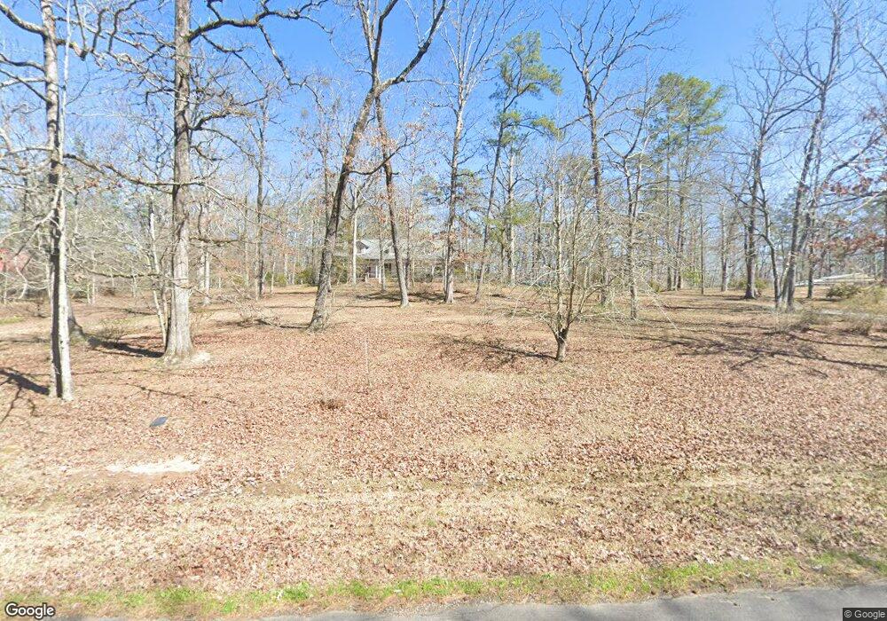
3 D Lest St Brandon, MS 39047
Estimated Value: $381,868 - $438,000
3
Beds
2
Baths
3,266
Sq Ft
$126/Sq Ft
Est. Value
About This Home
This home is located at 3 D Lest St, Brandon, MS 39047 and is currently estimated at $411,217, approximately $125 per square foot. 3 D Lest St is a home located in Rankin County with nearby schools including Rouse Elementary School, Brandon Elementary School, and Stonebridge Elementary School.
Ownership History
Date
Name
Owned For
Owner Type
Purchase Details
Closed on
May 4, 2017
Sold by
Lott Currie Gaye Nell and Currie William Elbert
Bought by
Lott Currie Gaye Nell
Current Estimated Value
Create a Home Valuation Report for This Property
The Home Valuation Report is an in-depth analysis detailing your home's value as well as a comparison with similar homes in the area
Purchase History
| Date | Buyer | Sale Price | Title Company |
|---|---|---|---|
| Lott Currie Gaye Nell | -- | None Available |
Source: Public Records
Tax History
| Year | Tax Paid | Tax Assessment Tax Assessment Total Assessment is a certain percentage of the fair market value that is determined by local assessors to be the total taxable value of land and additions on the property. | Land | Improvement |
|---|---|---|---|---|
| 2024 | $1,877 | $21,614 | $0 | $0 |
| 2023 | $1,475 | $17,979 | $0 | $0 |
| 2022 | $1,448 | $17,979 | $0 | $0 |
| 2021 | $1,448 | $17,979 | $0 | $0 |
| 2020 | $1,448 | $17,979 | $0 | $0 |
| 2019 | $1,291 | $15,919 | $0 | $0 |
| 2018 | $1,260 | $15,919 | $0 | $0 |
| 2017 | $1,260 | $15,919 | $0 | $0 |
| 2016 | $1,160 | $15,707 | $0 | $0 |
| 2015 | $1,160 | $15,707 | $0 | $0 |
| 2014 | $1,127 | $15,707 | $0 | $0 |
| 2013 | -- | $15,707 | $0 | $0 |
Source: Public Records
Map
Nearby Homes
- 23 Le Bourgeois Dr
- 739 Westerly Dr
- 840 Westerly Dr
- 1074 Ridgeside Dr
- 2050 Paradise Ridge
- 0 Danielle Cove Unit 24270205
- 0 Danielle Cove Unit 4118567
- 115 Ashley Dr
- 110 Meadowview Dr
- 0 Ridgeside Dr Unit 4102137
- 116 Shenandoah Estates Cir
- 124 Dominion Pkwy
- 890 Willow Grande Cir
- 107 Willow Place
- 155 Dominion Pkwy
- 206 Willow Crest Cove
- 132 Woodlands Glen Cir
- 562 Stump Ridge Rd
- 475 Stump Ridge Rd
- 538 Stump Ridge Rd
Your Personal Tour Guide
Ask me questions while you tour the home.