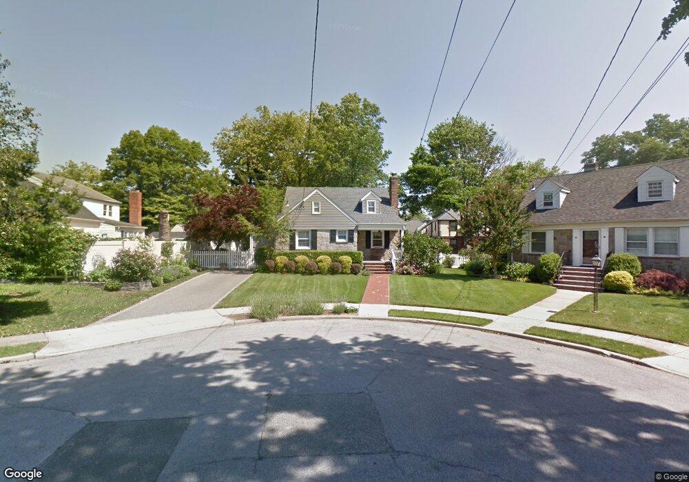
3 Dalston Cir Lynbrook, NY 11563
Estimated Value: $643,896 - $708,000
Studio
1
Bath
1,392
Sq Ft
$486/Sq Ft
Est. Value
About This Home
This home is located at 3 Dalston Cir, Lynbrook, NY 11563 and is currently estimated at $675,948, approximately $485 per square foot. 3 Dalston Cir is a home located in Nassau County with nearby schools including Davison Avenue Intermediate School, Maurice W. Downing Primary K-2 School, and Howard T Herber Middle School.
Ownership History
Date
Name
Owned For
Owner Type
Purchase Details
Closed on
Oct 12, 2023
Sold by
Kucher Michael Peter and Kucher Rosemary
Bought by
Kucher Michael P and Kucher Michael P
Current Estimated Value
Purchase Details
Closed on
Aug 10, 2007
Sold by
Mcleer Jeanine
Bought by
Kucher Rosemary
Purchase Details
Closed on
Jul 21, 1998
Sold by
Saccente Martin J and Saccente Valerie M
Bought by
Mcler Janine and Kucher Michael P
Create a Home Valuation Report for This Property
The Home Valuation Report is an in-depth analysis detailing your home's value as well as a comparison with similar homes in the area
Home Values in the Area
Average Home Value in this Area
Purchase History
| Date | Buyer | Sale Price | Title Company |
|---|---|---|---|
| Kucher Michael P | -- | None Available | |
| Kucher Michael P | -- | None Available | |
| Kucher Michael P | -- | None Available | |
| Kucher Rosemary | $450,000 | -- | |
| Kucher Rosemary | $450,000 | -- | |
| Mcler Janine | $200,000 | -- | |
| Mcler Janine | $200,000 | -- |
Source: Public Records
Tax History
| Year | Tax Paid | Tax Assessment Tax Assessment Total Assessment is a certain percentage of the fair market value that is determined by local assessors to be the total taxable value of land and additions on the property. | Land | Improvement |
|---|---|---|---|---|
| 2025 | $8,905 | $465 | $195 | $270 |
| 2024 | $3,073 | $465 | $195 | $270 |
Source: Public Records
Map
Nearby Homes
- 72 Cedar Rd
- 64 Hodson Ave
- 40 Hendrickson Ave
- 63 Central Ave
- 17 Oxford St
- 90 Pearsall Ave
- 57 Carol St
- 102 Franklin Ave
- 205 Hempstead Ave
- 217 Hempstead Ave
- 408 Vincent Ave
- 138 Chestnut St
- 89 Linmouth Rd
- 35 Park Blvd
- 367 Vincent Ave
- 35 Roosevelt Ave
- 175 Hempstead Ave
- 21 Park Ave
- 112 Chestnut St
- 157 Hempstead Ave Unit B20
- 5 Dalston Cir
- 42 Franklin Ave
- 1 Dalston Cir
- 16 Babcock Place
- 22 Babcock Place
- 10 Babcock Place
- 7 Dalston Cir
- 28 Babcock Place
- 46 Franklin Ave
- 11 Dalston Cir
- 34 Franklin Ave Unit 34 B
- 34 Franklin Ave
- 34 Franklin Ave
- 76 Tilrose Ave
- 82 Tilrose Ave
- 68 Tilrose Ave
- 41 Franklin Ave
- 37 Franklin Ave
- 15 Babcock Place
- 21 Babcock Place
Your Personal Tour Guide
Ask me questions while you tour the home.