3 Darrell Dr North Reading, MA 01864
Estimated Value: $1,303,346 - $1,786,000
4
Beds
4
Baths
3,350
Sq Ft
$438/Sq Ft
Est. Value
About This Home
This home is located at 3 Darrell Dr, North Reading, MA 01864 and is currently estimated at $1,466,837, approximately $437 per square foot. 3 Darrell Dr is a home located in Middlesex County with nearby schools including Batchelder School, North Reading Middle School, and North Reading High School.
Ownership History
Date
Name
Owned For
Owner Type
Purchase Details
Closed on
Oct 6, 2022
Sold by
Crotty Arthur F and Crotty Joan C
Bought by
Crotty
Current Estimated Value
Purchase Details
Closed on
Nov 30, 1998
Sold by
Contemporary Bldrs Inc
Bought by
Crotty Arthur F and Crotty Joan C
Home Financials for this Owner
Home Financials are based on the most recent Mortgage that was taken out on this home.
Original Mortgage
$225,000
Interest Rate
6.83%
Mortgage Type
Purchase Money Mortgage
Purchase Details
Closed on
Feb 11, 1998
Sold by
Hill Top Rt and Quinn
Bought by
Contemporary Bldrs Inc
Purchase Details
Closed on
May 30, 1989
Sold by
Nichols St Rt
Bought by
Shield Frederick
Create a Home Valuation Report for This Property
The Home Valuation Report is an in-depth analysis detailing your home's value as well as a comparison with similar homes in the area
Home Values in the Area
Average Home Value in this Area
Purchase History
| Date | Buyer | Sale Price | Title Company |
|---|---|---|---|
| Crotty | -- | None Available | |
| Crotty Arthur F | $499,000 | -- | |
| Contemporary Bldrs Inc | $125,000 | -- | |
| Shield Frederick | $339,900 | -- |
Source: Public Records
Mortgage History
| Date | Status | Borrower | Loan Amount |
|---|---|---|---|
| Previous Owner | Shield Frederick | $177,500 | |
| Previous Owner | Shield Frederick | $100,000 | |
| Previous Owner | Shield Frederick | $225,000 |
Source: Public Records
Tax History
| Year | Tax Paid | Tax Assessment Tax Assessment Total Assessment is a certain percentage of the fair market value that is determined by local assessors to be the total taxable value of land and additions on the property. | Land | Improvement |
|---|---|---|---|---|
| 2025 | $15,033 | $1,151,100 | $502,600 | $648,500 |
| 2024 | $14,551 | $1,101,500 | $453,000 | $648,500 |
| 2023 | $14,393 | $1,028,800 | $444,400 | $584,400 |
| 2022 | $13,452 | $896,800 | $401,200 | $495,600 |
| 2021 | $12,909 | $825,900 | $346,300 | $479,600 |
Source: Public Records
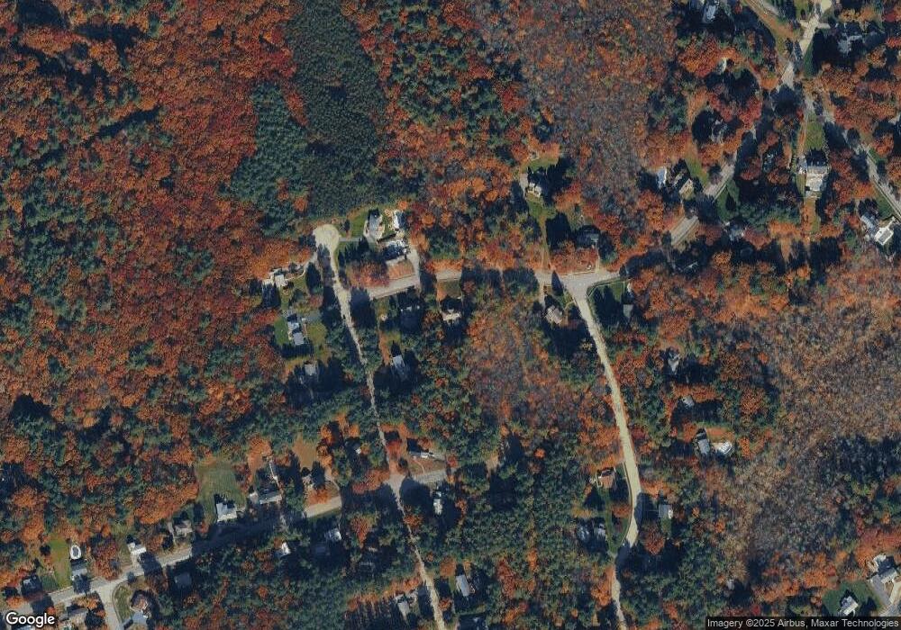
Map
Nearby Homes
- 18 Duane Dr
- 177 Haverhill St
- 5 Palomino Dr
- 19 Pleasant St
- 245 Elm St
- 12 Magnolia St
- 114 Haverhill St
- 220 Swan Pond Rd
- 53 Park St
- 16 Anglewood Ln
- 8 Cranberry Meadow Way
- 15 Park St Unit A
- 15 Park St Unit B
- 15 Park St
- 156 North St
- 4 Hickory Ln
- 3 Greenbriar Dr Unit 106
- 3 Greenbriar Dr Unit 303
- 17 Marshall St
- 5 Greenbriar Dr Unit 107
Your Personal Tour Guide
Ask me questions while you tour the home.