3 Davis Rd Gilford, NH 03249
Estimated Value: $1,636,000 - $2,421,000
3
Beds
2
Baths
1,649
Sq Ft
$1,227/Sq Ft
Est. Value
About This Home
This home is located at 3 Davis Rd, Gilford, NH 03249 and is currently estimated at $2,023,075, approximately $1,226 per square foot. 3 Davis Rd is a home located in Belknap County with nearby schools including Gilford Elementary School, Gilford Middle School, and Gilford High School.
Ownership History
Date
Name
Owned For
Owner Type
Purchase Details
Closed on
Oct 21, 2003
Sold by
Tr Valentino Fam 1
Bought by
Parker John E and Parker Jennifer L
Current Estimated Value
Home Financials for this Owner
Home Financials are based on the most recent Mortgage that was taken out on this home.
Original Mortgage
$200,000
Interest Rate
6.43%
Create a Home Valuation Report for This Property
The Home Valuation Report is an in-depth analysis detailing your home's value as well as a comparison with similar homes in the area
Home Values in the Area
Average Home Value in this Area
Purchase History
| Date | Buyer | Sale Price | Title Company |
|---|---|---|---|
| Parker John E | $531,000 | -- |
Source: Public Records
Mortgage History
| Date | Status | Borrower | Loan Amount |
|---|---|---|---|
| Open | Parker John E | $200,000 | |
| Closed | Parker John E | $200,000 |
Source: Public Records
Tax History Compared to Growth
Tax History
| Year | Tax Paid | Tax Assessment Tax Assessment Total Assessment is a certain percentage of the fair market value that is determined by local assessors to be the total taxable value of land and additions on the property. | Land | Improvement |
|---|---|---|---|---|
| 2024 | $20,357 | $1,809,550 | $1,341,950 | $467,600 |
| 2023 | $18,638 | $1,809,550 | $1,341,950 | $467,600 |
| 2022 | $14,048 | $1,146,790 | $766,790 | $380,000 |
| 2021 | $14,083 | $1,146,790 | $766,790 | $380,000 |
| 2020 | $12,191 | $811,120 | $528,820 | $282,300 |
| 2019 | $12,661 | $798,320 | $528,820 | $269,500 |
| 2018 | $12,976 | $761,520 | $528,820 | $232,700 |
| 2017 | $13,144 | $761,520 | $528,820 | $232,700 |
| 2016 | $11,706 | $652,140 | $440,540 | $211,600 |
| 2015 | $11,633 | $647,340 | $440,540 | $206,800 |
| 2011 | $10,471 | $564,480 | $476,280 | $88,200 |
Source: Public Records
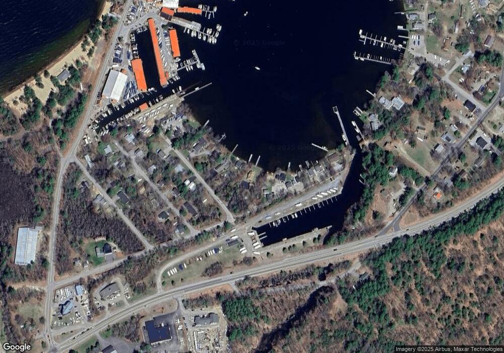
Map
Nearby Homes
- 1996 Lake Shore Rd
- 12 Wildwood Rd
- 19 Smith Cove Rd
- 46 Glendale Place Unit 1
- 41 Glendale Place Unit 13 A & B
- 47 Varney Point Road Right
- 16 Varney Point Road Left
- 24 Dock Rd Unit 22
- 24 Dock Rd Unit 18
- 17 Harris Shore Rd Unit 410D
- 63 Varney Point Road Right
- 110 Heights Rd
- 73 Weirs Rd
- 73 Weirs
- 60 Weirs Rd Unit D2
- 73 Weirs Slip I-22
- 78 Belknap Point Rd
- 115 Weirs Rd Unit 109B
- 118 Weirs Rd Unit G05
- 320 Old Lake Shore Rd Unit 3
- 56 Wildwood Rd Unit 6
- 56 Wildwood Rd Unit 7
- 56 Wildwood Rd Unit 5
- 56 Wildwood Rd Unit 2
- 56 Wildwood Rd Unit 3
- 56 Wildwood Rd
- 9 Davis Rd
- 62 Wildwood Rd
- 64 Wildwood Rd
- 13 Davis Rd
- 66 Wildwood Rd
- 10 Davis Rd
- 3 Dow Rd
- 1996 Lake Shore Rd Unit 53
- 1996 Lake Shore Rd Unit 10
- 1996 U36 Lake Shore Rd Unit 1996
- 1996 Lake Shore Rd Unit U64
- 1996 Lake Shore Rd Unit U20
- 1996 Lake Shore Rd Unit U19
- 1996 Lake Shore Rd Unit 21