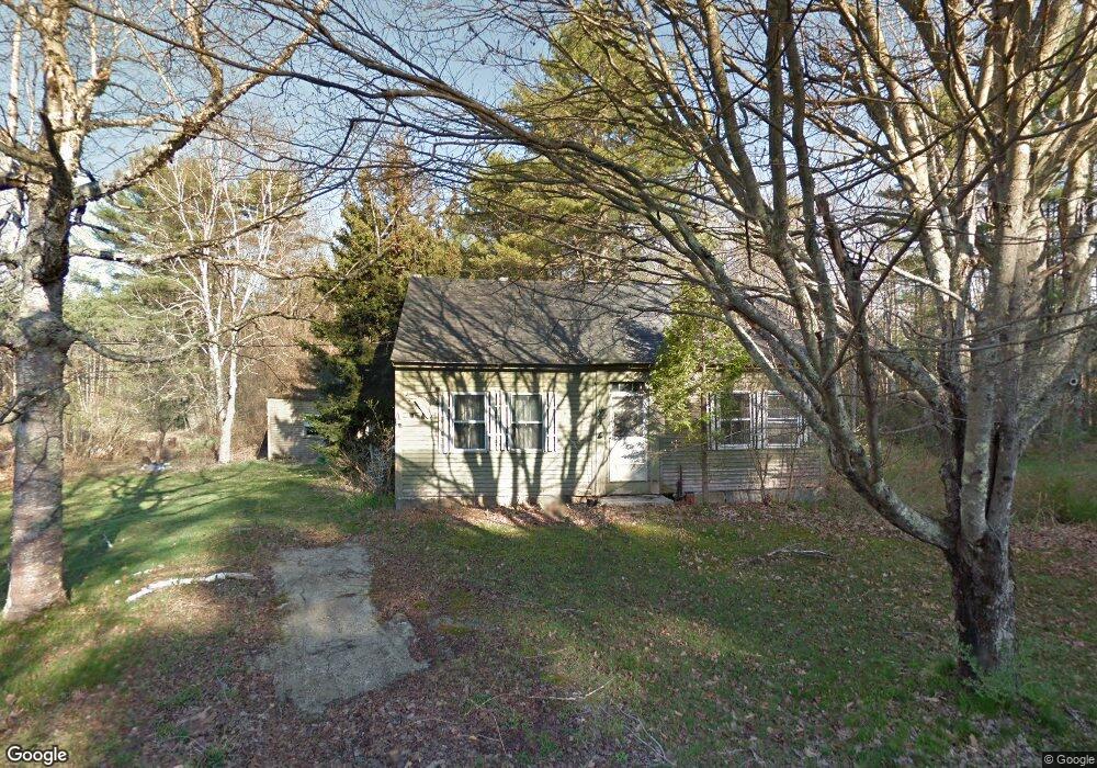
3 Estes Rd New Gloucester, ME 04260
Estimated Value: $407,000 - $718,000
3
Beds
2
Baths
2,600
Sq Ft
$206/Sq Ft
Est. Value
About This Home
This home is located at 3 Estes Rd, New Gloucester, ME 04260 and is currently estimated at $534,440, approximately $205 per square foot. 3 Estes Rd is a home located in Cumberland County with nearby schools including Gray-New Gloucester High School.
Ownership History
Date
Name
Owned For
Owner Type
Purchase Details
Closed on
Aug 6, 2024
Sold by
Haas Cheryl A and Haas Richard P
Bought by
Haas Cheryl A and Cadigan Pam J
Current Estimated Value
Home Financials for this Owner
Home Financials are based on the most recent Mortgage that was taken out on this home.
Original Mortgage
$258,825
Outstanding Balance
$255,420
Interest Rate
6.86%
Mortgage Type
Purchase Money Mortgage
Estimated Equity
$279,021
Create a Home Valuation Report for This Property
The Home Valuation Report is an in-depth analysis detailing your home's value as well as a comparison with similar homes in the area
Home Values in the Area
Average Home Value in this Area
Purchase History
| Date | Buyer | Sale Price | Title Company |
|---|---|---|---|
| Haas Cheryl A | -- | None Available | |
| Haas Cheryl A | -- | None Available |
Source: Public Records
Mortgage History
| Date | Status | Borrower | Loan Amount |
|---|---|---|---|
| Open | Haas Cheryl A | $258,825 | |
| Closed | Haas Cheryl A | $258,825 |
Source: Public Records
Tax History Compared to Growth
Tax History
| Year | Tax Paid | Tax Assessment Tax Assessment Total Assessment is a certain percentage of the fair market value that is determined by local assessors to be the total taxable value of land and additions on the property. | Land | Improvement |
|---|---|---|---|---|
| 2025 | $4,920 | $318,006 | $84,990 | $233,016 |
| 2024 | $4,735 | $318,006 | $84,990 | $233,016 |
| 2023 | $3,854 | $269,697 | $84,990 | $184,707 |
| 2022 | $3,722 | $269,697 | $84,990 | $184,707 |
| 2021 | $3,284 | $237,963 | $84,990 | $152,973 |
| 2020 | $3,035 | $222,348 | $84,990 | $137,358 |
| 2019 | $2,898 | $171,500 | $62,100 | $109,400 |
| 2018 | $2,710 | $171,500 | $62,100 | $109,400 |
| 2017 | $2,298 | $147,300 | $62,100 | $85,200 |
| 2016 | $2,165 | $147,300 | $62,100 | $85,200 |
| 2015 | $910 | $62,100 | $62,100 | $0 |
| 2014 | $900 | $62,100 | $62,100 | $0 |
| 2013 | $835 | $62,100 | $62,100 | $0 |
Source: Public Records
Map
Nearby Homes
- 164 Intervale Rd
- 10 Cobbs Bridge Rd
- 12 Country Charm Ln
- 160 Gloucester Hill Rd
- 155 & 151 Gloucester Hill Rd
- 0018-C Gloucester Hill Rd
- 22 Shaw Rd
- 271 Bennett Rd
- 24 Swamp Rd
- 10-56 C&E Bowdoin Way
- 200 Woodman Rd
- 29 Rockwood Dr
- TBD Targett Rd
- 14 Golden Way
- 161 Beaver Dam Dr
- 423 Sabbathday Rd
- 10 Spring Valley Ln
- 65 Blueberry Ln
- 832 Old Danville Rd
- 26 Carpenter Rd