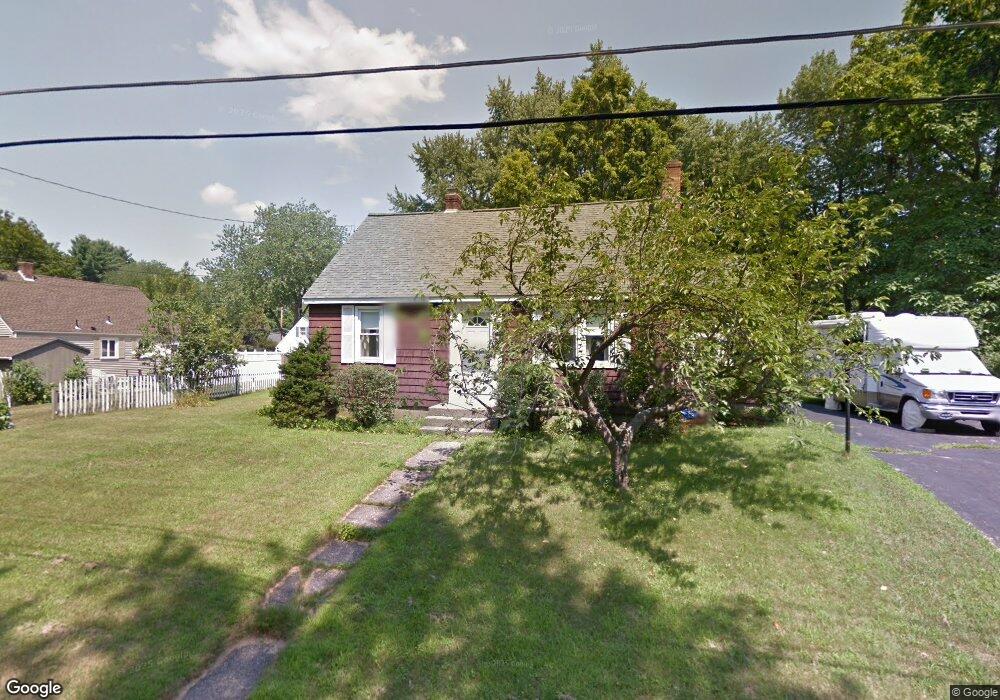
3 Forrest Rd Northborough, MA 01532
Estimated Value: $614,806 - $748,000
2
Beds
2
Baths
1,662
Sq Ft
$398/Sq Ft
Est. Value
About This Home
This home is located at 3 Forrest Rd, Northborough, MA 01532 and is currently estimated at $662,202, approximately $398 per square foot. 3 Forrest Rd is a home located in Worcester County with nearby schools including Fannie E. Proctor Elementary School, Robert E. Melican Middle School, and Algonquin Regional High School.
Ownership History
Date
Name
Owned For
Owner Type
Purchase Details
Closed on
Dec 6, 2016
Sold by
Otto William M
Bought by
Otto William M and Otto Jennifer L
Current Estimated Value
Purchase Details
Closed on
Jan 10, 2003
Sold by
Minicucci Brenda
Bought by
Otto William M
Home Financials for this Owner
Home Financials are based on the most recent Mortgage that was taken out on this home.
Original Mortgage
$125,000
Interest Rate
6.19%
Mortgage Type
Purchase Money Mortgage
Create a Home Valuation Report for This Property
The Home Valuation Report is an in-depth analysis detailing your home's value as well as a comparison with similar homes in the area
Home Values in the Area
Average Home Value in this Area
Purchase History
| Date | Buyer | Sale Price | Title Company |
|---|---|---|---|
| Otto William M | -- | -- | |
| Otto William M | $65,000 | -- | |
| Otto William M | $60,000 | -- |
Source: Public Records
Mortgage History
| Date | Status | Borrower | Loan Amount |
|---|---|---|---|
| Previous Owner | Otto William M | $125,000 |
Source: Public Records
Tax History
| Year | Tax Paid | Tax Assessment Tax Assessment Total Assessment is a certain percentage of the fair market value that is determined by local assessors to be the total taxable value of land and additions on the property. | Land | Improvement |
|---|---|---|---|---|
| 2025 | $8,456 | $593,400 | $251,800 | $341,600 |
| 2024 | $7,713 | $540,100 | $208,800 | $331,300 |
| 2023 | $7,601 | $513,900 | $197,100 | $316,800 |
| 2022 | $7,241 | $439,100 | $187,600 | $251,500 |
| 2021 | $6,935 | $405,100 | $170,400 | $234,700 |
| 2020 | $6,895 | $399,700 | $170,400 | $229,300 |
| 2019 | $7,179 | $418,600 | $165,300 | $253,300 |
| 2018 | $6,827 | $392,600 | $162,100 | $230,500 |
| 2017 | $6,441 | $370,400 | $162,100 | $208,300 |
| 2016 | $5,905 | $343,900 | $158,800 | $185,100 |
| 2015 | $4,107 | $245,500 | $160,700 | $84,800 |
| 2014 | $3,973 | $239,500 | $160,700 | $78,800 |
Source: Public Records
Map
Nearby Homes
- 19 Intervale Farm Ln
- 10 Thoreau Rd
- 18 Joseph Rd
- 106 School St
- 9 Powder Hill Way Unit 9
- 59 School St Unit B-12
- 6 Hillside Rd
- 5 Swan View Common Dr
- 6 Lydias Way Unit 6
- 105 Lincoln St
- 194 Milk St
- 22 Hitching Post Ln
- 39 Pleasant St Unit A6
- 39 Pleasant St Unit C5
- 39 Pleasant St Unit A17
- 39 Pleasant St Unit B10
- 39 Pleasant St Unit B4
- 75 Lawrence St
- 5 Country Candle Ln Unit 5
- 85 Hudson St Unit 85
Your Personal Tour Guide
Ask me questions while you tour the home.