3 Glendale Rd Concord, NH 03301
West Concord NeighborhoodEstimated Value: $405,814 - $498,000
3
Beds
2
Baths
1,398
Sq Ft
$329/Sq Ft
Est. Value
About This Home
This home is located at 3 Glendale Rd, Concord, NH 03301 and is currently estimated at $459,954, approximately $329 per square foot. 3 Glendale Rd is a home located in Merrimack County with nearby schools including Beaver Meadow School, Rundlett Middle School, and Concord High School.
Ownership History
Date
Name
Owned For
Owner Type
Purchase Details
Closed on
Jan 28, 2021
Sold by
Ascheim Joan H and Thompson Donald H
Bought by
Thompson Ascheim T
Current Estimated Value
Purchase Details
Closed on
Sep 22, 2020
Sold by
Ascheim Joan H
Bought by
Ascheim Joan H and Thompson Donald H
Purchase Details
Closed on
May 28, 1997
Sold by
Wells Peter G and Wells Kristin H
Bought by
Dodson Charles M
Home Financials for this Owner
Home Financials are based on the most recent Mortgage that was taken out on this home.
Original Mortgage
$94,950
Interest Rate
8.09%
Mortgage Type
Purchase Money Mortgage
Create a Home Valuation Report for This Property
The Home Valuation Report is an in-depth analysis detailing your home's value as well as a comparison with similar homes in the area
Home Values in the Area
Average Home Value in this Area
Purchase History
| Date | Buyer | Sale Price | Title Company |
|---|---|---|---|
| Thompson Ascheim T | -- | None Available | |
| Ascheim Joan H | -- | None Available | |
| Dodson Charles M | $96,000 | -- |
Source: Public Records
Mortgage History
| Date | Status | Borrower | Loan Amount |
|---|---|---|---|
| Previous Owner | Dodson Charles M | $112,500 | |
| Previous Owner | Dodson Charles M | $94,950 |
Source: Public Records
Tax History Compared to Growth
Tax History
| Year | Tax Paid | Tax Assessment Tax Assessment Total Assessment is a certain percentage of the fair market value that is determined by local assessors to be the total taxable value of land and additions on the property. | Land | Improvement |
|---|---|---|---|---|
| 2024 | $7,155 | $258,400 | $100,500 | $157,900 |
| 2023 | $6,941 | $258,400 | $100,500 | $157,900 |
| 2022 | $6,716 | $259,400 | $100,500 | $158,900 |
| 2021 | $6,167 | $245,500 | $100,500 | $145,000 |
| 2020 | $5,563 | $207,900 | $77,500 | $130,400 |
Source: Public Records
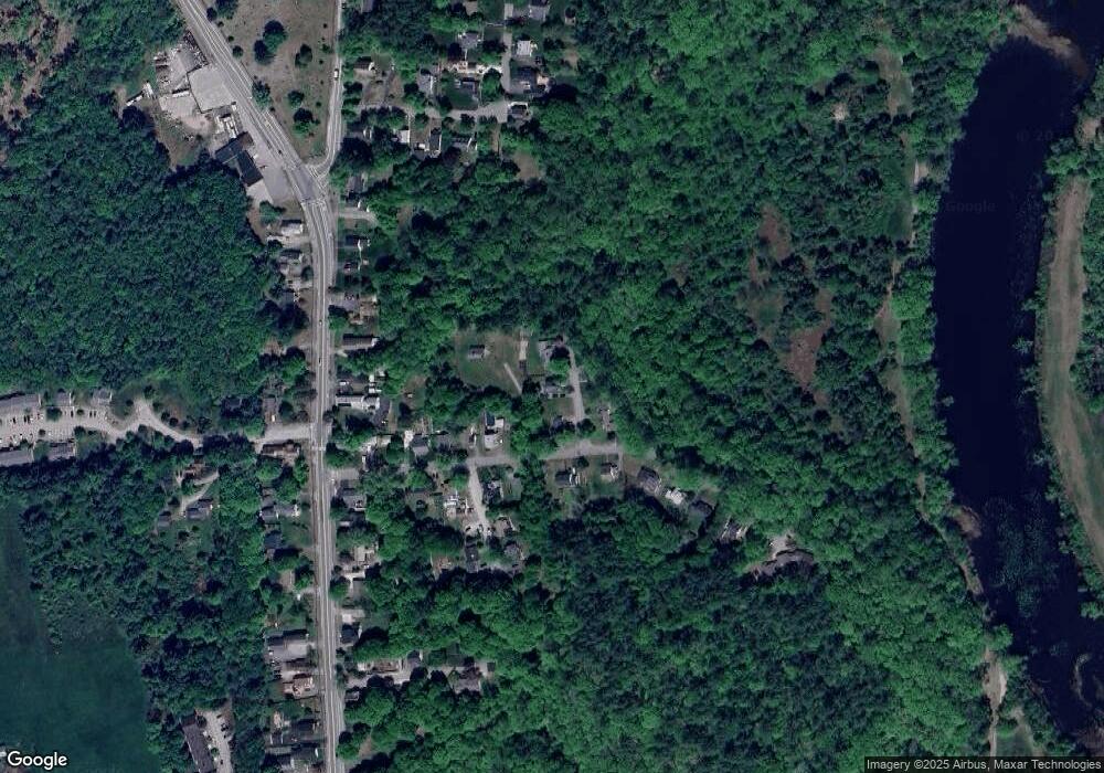
Map
Nearby Homes
- 49 Skyline Dr
- 9 Duke Ln
- 37 Rex Dr
- Lots 6-11 Sewalls Falls & Abbott Rd
- 35 Callaway Dr Unit 6
- 0 Sewalls Falls & Abbott Rd Unit Multiple
- 6 Foxglove Terrace
- 145 Abbott Rd
- 117 Sewalls Falls Rd
- 125 Sewalls Falls Rd
- 4 Columbine Place
- 4 Tanager Cir Unit 8
- 4 Tanager Cir Unit 7
- 4 Tanager Cir Unit 4
- 4 Tanager Cir Unit 3
- 4 Tanager Cir Unit 2
- 2 Tanager Cir Unit 3
- 43 Woodbine Ave
- 0 Sewalls Falls Rd Unit 21
- 127 Sewalls Falls Rd