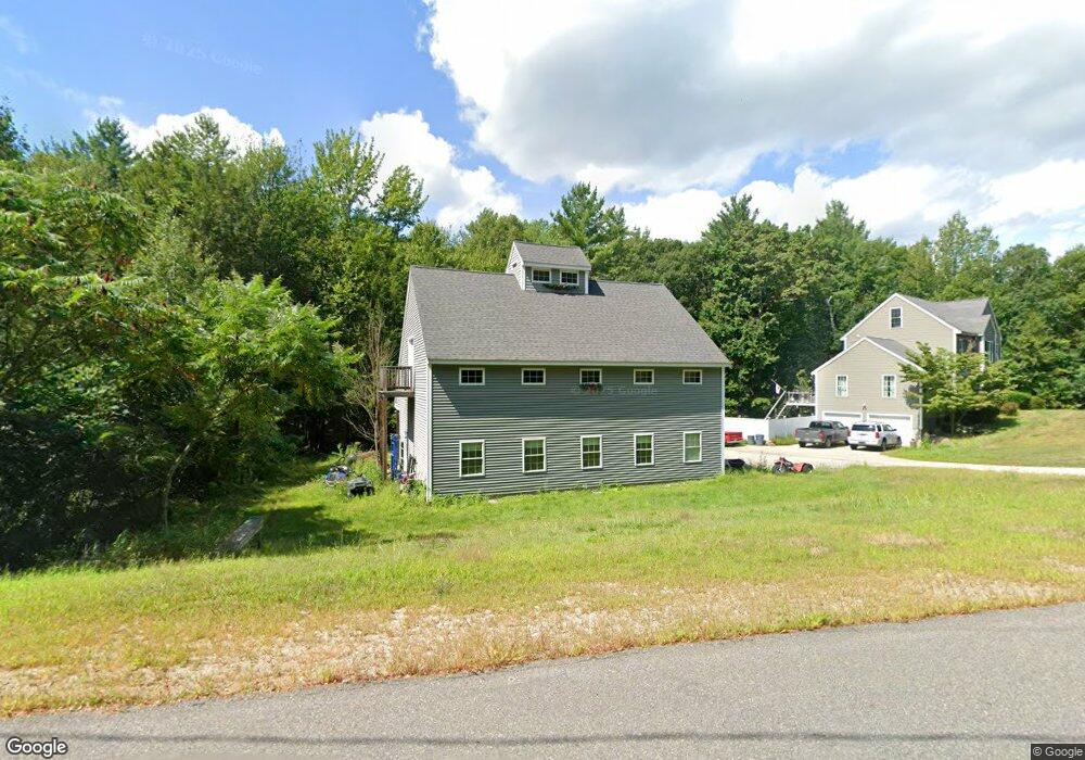
3 Hobart Hill Rd Brookline, NH 03033
Estimated Value: $681,000 - $843,000
4
Beds
3
Baths
1,940
Sq Ft
$386/Sq Ft
Est. Value
About This Home
This home is located at 3 Hobart Hill Rd, Brookline, NH 03033 and is currently estimated at $749,124, approximately $386 per square foot. 3 Hobart Hill Rd is a home located in Hillsborough County with nearby schools including Richard Maghakian Memorial School, Captain Samuel Douglass Academy, and Hollis-Brookline Middle School.
Ownership History
Date
Name
Owned For
Owner Type
Purchase Details
Closed on
Jun 18, 2010
Sold by
Razzaboni Home Builder
Bought by
Sheridan William P
Current Estimated Value
Home Financials for this Owner
Home Financials are based on the most recent Mortgage that was taken out on this home.
Original Mortgage
$310,814
Outstanding Balance
$208,921
Interest Rate
5.03%
Mortgage Type
Purchase Money Mortgage
Estimated Equity
$540,203
Create a Home Valuation Report for This Property
The Home Valuation Report is an in-depth analysis detailing your home's value as well as a comparison with similar homes in the area
Home Values in the Area
Average Home Value in this Area
Purchase History
| Date | Buyer | Sale Price | Title Company |
|---|---|---|---|
| Sheridan William P | $315,000 | -- |
Source: Public Records
Mortgage History
| Date | Status | Borrower | Loan Amount |
|---|---|---|---|
| Open | Sheridan William P | $310,814 |
Source: Public Records
Tax History Compared to Growth
Tax History
| Year | Tax Paid | Tax Assessment Tax Assessment Total Assessment is a certain percentage of the fair market value that is determined by local assessors to be the total taxable value of land and additions on the property. | Land | Improvement |
|---|---|---|---|---|
| 2024 | $15,031 | $664,800 | $214,100 | $450,700 |
| 2023 | $13,815 | $664,800 | $214,100 | $450,700 |
| 2022 | $12,358 | $415,800 | $127,100 | $288,700 |
| 2021 | $11,884 | $415,800 | $127,100 | $288,700 |
| 2020 | $11,559 | $415,800 | $127,100 | $288,700 |
| 2019 | $12,420 | $415,800 | $127,100 | $288,700 |
| 2018 | $12,276 | $415,300 | $127,100 | $288,200 |
| 2017 | $11,453 | $347,700 | $101,300 | $246,400 |
| 2016 | $11,302 | $347,100 | $101,300 | $245,800 |
| 2015 | $10,451 | $336,600 | $101,300 | $235,300 |
| 2014 | $11,057 | $336,600 | $101,300 | $235,300 |
| 2013 | $10,381 | $328,200 | $92,900 | $235,300 |
Source: Public Records
Map
Nearby Homes
- 22 Hobart Hill Rd
- 25 Rocky Pond Rd
- 12 Old Milford Rd
- 5 Carons Way
- 2 Corey Hill Rd
- 18 Sawtelle Rd
- 4 Bohanon Bridge Rd
- 42 Pepperell Rd
- 6 Flint Meadow Dr
- 47 Pepperell Rd
- 46 Oak Hill Rd
- 23 Austin Ln
- 22 Austin Ln
- 9 Marjorie Dr
- 55 Oak Hill Rd
- 91 Deacon Ln
- 59 Cleveland Hill Rd
- 7 Winterberry Rd
- 9 Winterberry Rd
- 84 Irene Dr
- lot 10 Hobart Hill Rd
- 4 Hobart Hill Rd
- 7 Rocky Pond Rd
- 8 Hobart Hill Rd
- 5 Hobart Hill Rd
- 5 Hobart Hill Rd Unit 32-45-8
- 7 Louis Dr
- 9 Louis Dr
- 5 Louis Dr
- 37 Old Milford Rd
- 35 Old Milford Rd
- 10 Rocky Pond Rd
- 14 Hobart Hill Rd
- 15 Rocky Pond Rd
- 3 Louis Dr
- 10 Louis Dr
- 12 Rocky Pond Rd
- 6 Louis Dr
- 36 Old Milford Rd
- 16 Hobart Hill Rd