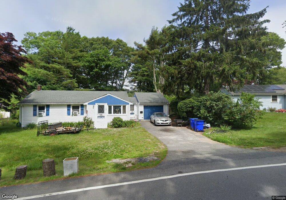
3 Lewis Point Way Buzzards Bay, MA 02532
Estimated Value: $602,128 - $651,000
3
Beds
2
Baths
1,004
Sq Ft
$615/Sq Ft
Est. Value
About This Home
This home is located at 3 Lewis Point Way, Buzzards Bay, MA 02532 and is currently estimated at $617,282, approximately $614 per square foot. 3 Lewis Point Way is a home located in Barnstable County with nearby schools including Bourne High School and St Margaret Regional School.
Ownership History
Date
Name
Owned For
Owner Type
Purchase Details
Closed on
Jan 12, 2010
Sold by
Yacino Judith A and Yacino Pamela S
Bought by
Yacino Anthony D and Yacino Carol F
Current Estimated Value
Purchase Details
Closed on
May 3, 1993
Sold by
Fdic
Bought by
Yacino Judith A and Yacino Pamela S
Purchase Details
Closed on
Sep 10, 1990
Sold by
Tamarack Mngmt Corp
Bought by
Plymouth Five Cts Sb
Create a Home Valuation Report for This Property
The Home Valuation Report is an in-depth analysis detailing your home's value as well as a comparison with similar homes in the area
Home Values in the Area
Average Home Value in this Area
Purchase History
| Date | Buyer | Sale Price | Title Company |
|---|---|---|---|
| Yacino Anthony D | -- | -- | |
| Yacino Anthony D | -- | -- | |
| Yacino Judith A | $30,010 | -- | |
| Yacino Judith A | $30,010 | -- | |
| Plymouth Five Cts Sb | $52,500 | -- | |
| Plymouth Five Cts Sb | $52,500 | -- |
Source: Public Records
Tax History Compared to Growth
Tax History
| Year | Tax Paid | Tax Assessment Tax Assessment Total Assessment is a certain percentage of the fair market value that is determined by local assessors to be the total taxable value of land and additions on the property. | Land | Improvement |
|---|---|---|---|---|
| 2025 | $4,463 | $571,400 | $332,000 | $239,400 |
| 2024 | $4,385 | $546,700 | $316,200 | $230,500 |
| 2023 | $4,282 | $486,000 | $279,800 | $206,200 |
| 2022 | $4,648 | $460,700 | $300,200 | $160,500 |
| 2021 | $4,533 | $420,900 | $273,200 | $147,700 |
| 2020 | $4,432 | $412,700 | $270,600 | $142,100 |
| 2019 | $4,269 | $406,200 | $270,600 | $135,600 |
| 2018 | $4,007 | $380,200 | $257,700 | $122,500 |
| 2017 | $3,892 | $377,900 | $255,300 | $122,600 |
| 2016 | $3,805 | $374,500 | $255,300 | $119,200 |
| 2015 | $3,771 | $374,500 | $255,300 | $119,200 |
Source: Public Records
Map
Nearby Homes
- 0 Lewis Point Rd
- 65 Lewis Point Rd
- 15 Maple St
- 162 Puritan Rd
- 73 Lewis Point Rd
- 171 Puritan Rd
- 181 Head of The Bay Rd
- 85 Maple St
- 4 Finch Ln
- 47 Harrison Ave
- 17 Harrison Ave
- 3 Wolf Rd
- 810 Head of The Bay Rd
- 9 Harrison Ave
- 8 Van Bummel Rd
- 46 Holt Rd
- 46 Holt Rd Unit A
- 22 Wallace Point
- 34 Washington Ave
- 151 - 153 Main St
- 5 Lewis Point Way
- 14 Lewis Point Rd
- 14 Lewis Point Rd
- 12 Lewis Point Rd
- 20 Lewis Point Rd
- 107 Puritan Rd
- 105 Puritan Rd
- 107 Puritan Rd
- 105 Puritan Rd
- 7 Lewis Point Way
- 7 Lewis Point Way
- 111 Puritan Rd
- 111 Puritan Rd
- 103 Puritan Rd
- 103 Puritan Rd
- 21 Lewis Point Rd
- 30 Lewis Point Rd
- 15 Lewis Point Rd
- 115 Puritan Rd
- 21 Lewis Point Rd